
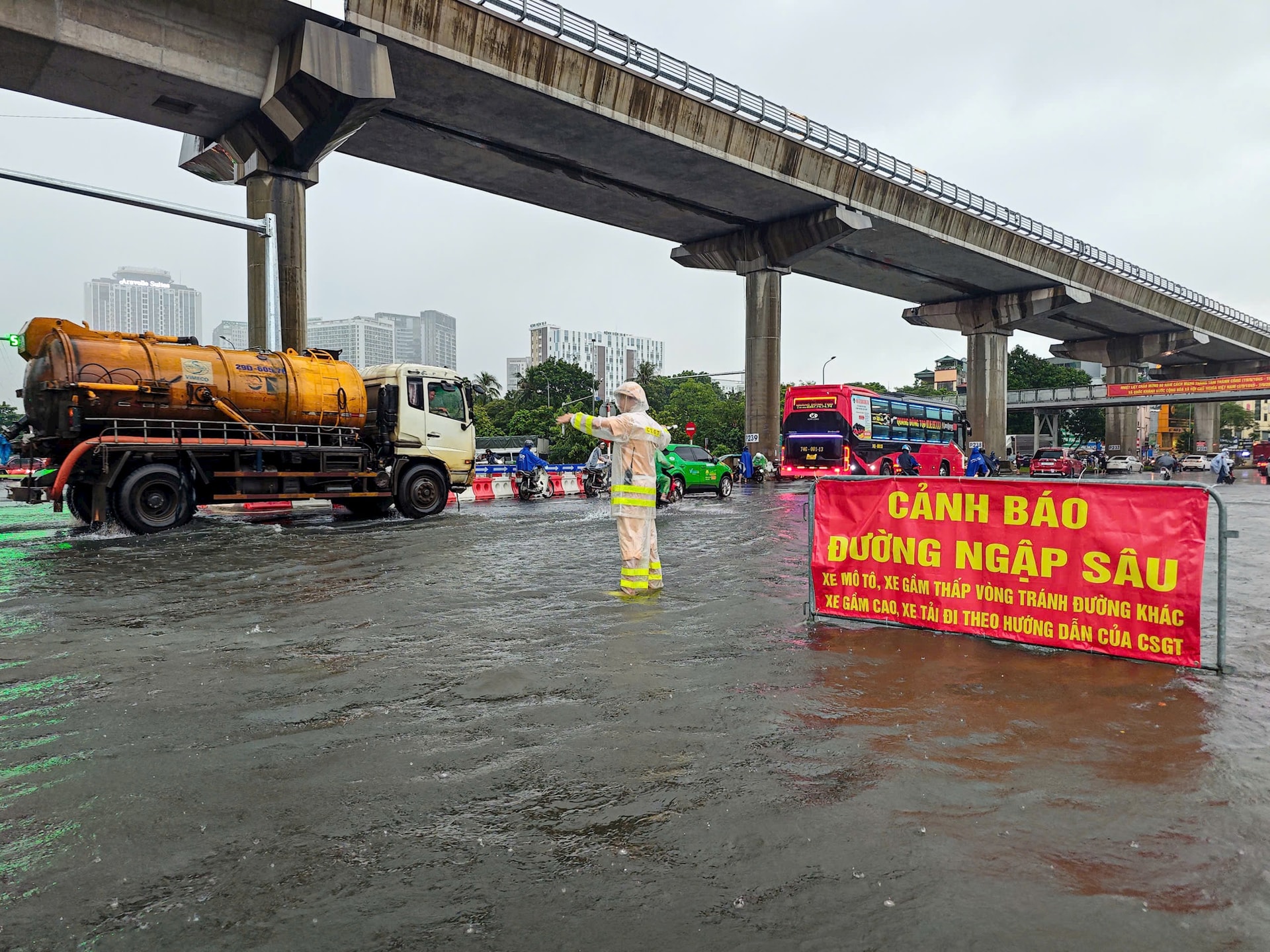
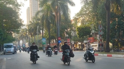
According to the authorities, there are some flooded areas in the city:
Routes Thuy Khue (Chu Van An School - La Pho Slope), Mac Thi Buoi, Minh Khai Street (foot of Vinh Tuy Bridge), Bui Xuong Trach (from No. 49 to No. 93 Bui Xuong Trach), Huynh Thuc Khang (Nguyen Hong intersection - Alley 14 Huynh Thuc Khang), Thanh Cong (in front of the Ward People's Committee).
Routes My Dinh - Thien Hien, Le Duc Tho (My Dinh Stadium Square), Phu Xa (Phu Xa - Phuc Hoa intersection), Duong Dinh Nghe - Nam Trung Yen (behind Keangnam building), Vo Chi Cong (UDIC building), Hoang Quoc Viet (Electricity University), Phan Van Truong (market gate - military barracks), Hoa Bang (lane 99), Tran Cung (gas station A38), Tran Binh (People's Committee of Mai Dich ward to 19-8 hospital), Do Duc Duc (road to Mieu Dam), Nguyen Trai (University of Social Sciences and Humanities - on the side with even bus lanes), Quan Nhan, Quang Trung (in front of Nguyen Hue High School), Quang Trung (opposite La Khe station), Yen Nghia (from Yen Nghia bus station to Ba La intersection), Xom street - opposite Hai Phat building, Le Loi - Tran Hung Dao (area around Ha Dong market), Quyet Thang street, To Hieu (in front of tax office and HUD3 building), QL6 street (residential group section) 1+4 Yen Nghia ward), TT18 area, Phu La...
Ngoc Lam routes (from Long Bien 1 intersection to Gia Lam Urban Transport Enterprise), Duc Giang (from Duc Hoa market to lane 97), Dam Quang Trung street (in front and opposite Aeon Mall supermarket), Co Linh (in front and opposite Long Bien Secondary School), and Thien Duc street train underpass.
The city police recommend that people proactively choose appropriate routes to ensure safety when participating in traffic in rainy and windy conditions, flooded roads; and comply with traffic regulation, flow and guidance of the authorities.
Source: https://hanoimoi.vn/cong-an-tp-ha-noi-khuyen-cao-nguoi-dan-truoc-tinh-huong-ung-ngap-718681.html
![[Photo] Dan Mountain Ginseng, a precious gift from nature to Kinh Bac land](/_next/image?url=https%3A%2F%2Fvphoto.vietnam.vn%2Fthumb%2F1200x675%2Fvietnam%2Fresource%2FIMAGE%2F2025%2F11%2F30%2F1764493588163_ndo_br_anh-longform-jpg.webp&w=3840&q=75)


Comment (0)