
 |
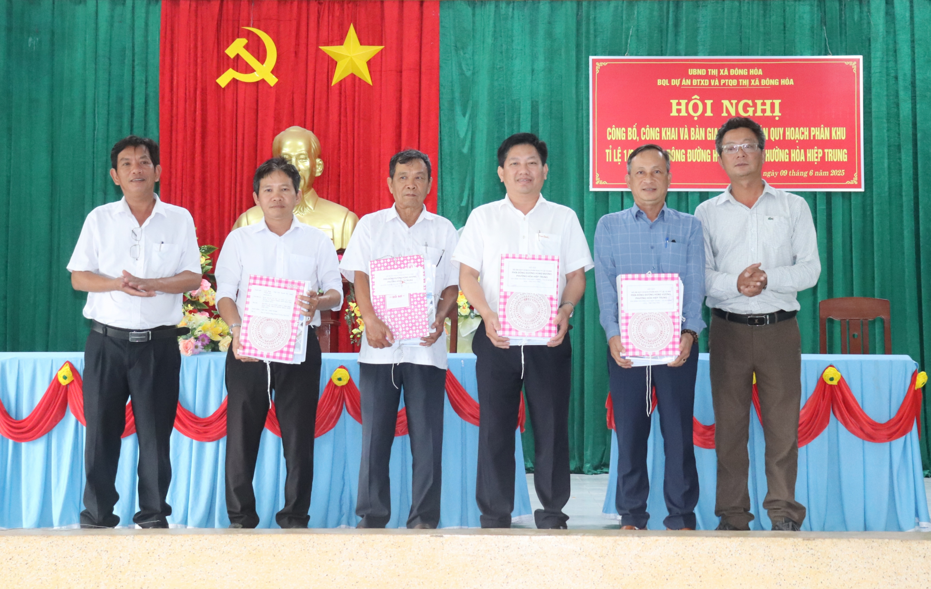
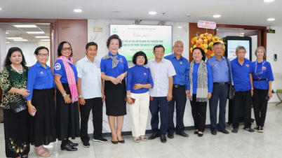
| Dong Hoa Town Land Fund Development and Investment Project Management Board hands over the project to relevant units. Photo: MINH HUYEN |
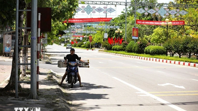
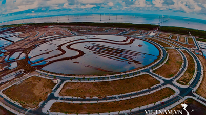
The above project has an area of 182.9 hectares, bordering the sea to the East, National Highway 29 to the West, the planned road to the South, and the coastal service urban area of Nam Phu Yen Economic Zone to the North. The planning area is located in the coastal service urban area of Nam Phu Yen Economic Zone with the following functions: Residential land, mixed land, public services, providing housing funds and technical infrastructure works, social infrastructure for the area. This is an urban area oriented for development to ensure the criteria of a type IV urban area, synchronous in architecture, technical infrastructure, social infrastructure with high-quality urban service functional areas, creating a highlight in the landscape architecture of the East of Dong Hoa Town.
The announcement and publicization of the above planning project aims to concretize the General Urban Planning Project of Dong Hoa Town (expected) for the period up to 2035, with a vision to 2050, which has been approved by the Provincial People's Committee. Thereby, it aims to renovate the planning and stabilize the existing residential area, creating a land fund to serve the construction of infrastructure, urban landscape architecture in the planning area to be increasingly spacious, civilized and convenient...
Source: https://baophuyen.vn/kinh-te/202506/dong-hoa-ban-giao-ho-so-do-an-quy-hoach-phia-dong-duong-hung-vuong-b9f20a5/


Comment (0)