
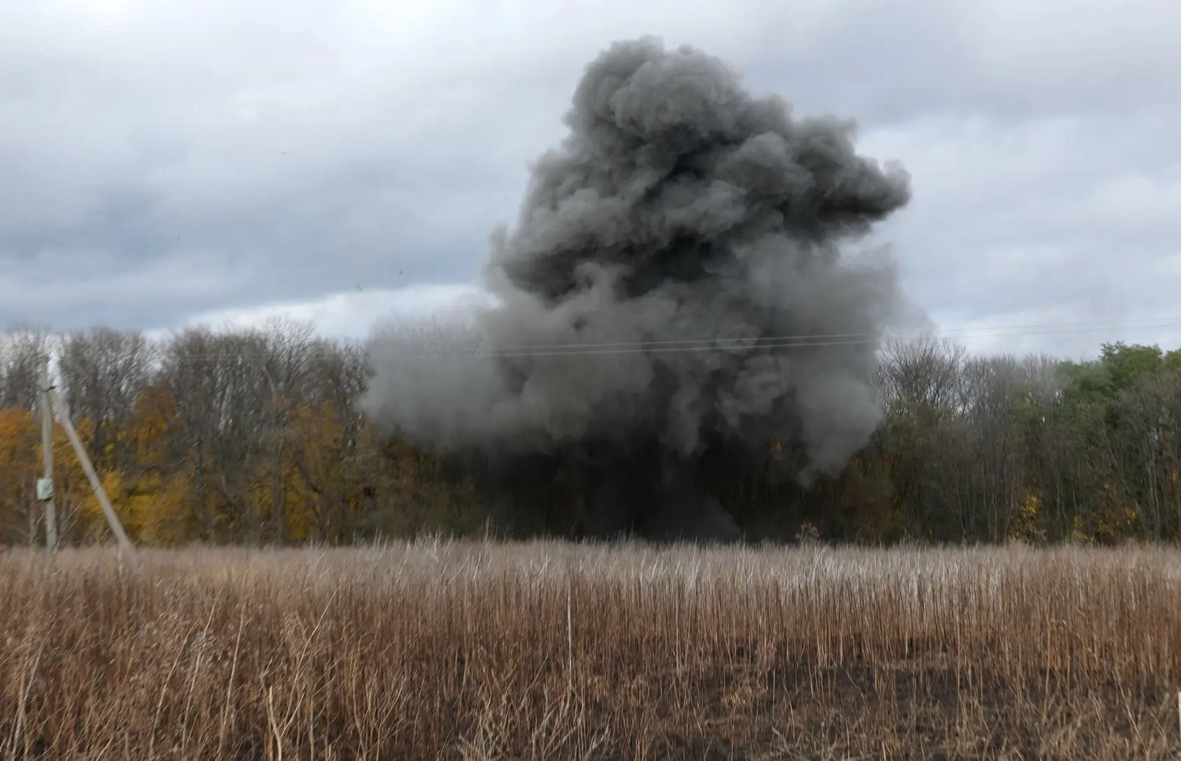
Nearly two years after the conflict began, Ukraine has surpassed Afghanistan and Syria to become the most mine-contaminated country on earth. According to estimates published by GLOBSEC, a Slovakia-based consultancy, it would take Ukraine 757 years to clean up the damage caused by mines and bombs using conventional methods and current resources.
Meanwhile, the country’s economy minister, Yulia Svyrydenko, said that “without demining, we will not be able to fully restart the economy .” The 37-year-old Ukrainian leader has set a goal of restoring 80% of the land contaminated by bombs and munitions to economic use within the next 10 years. So cutting-edge technology plays a big role, from AI impact assessment systems to homemade mine-detecting drones.
Kiev is also collaborating with US data analytics giant Palantir, drawing on dozens of data streams to develop machine learning models for mine clearance.
Data and technology-driven decisions
The World Bank (WB) estimates that the cost of a multi-year mine clearance project in Ukraine could exceed $37 billion. However, experts in the field also believe that a breakthrough in mine clearance technology in the European country could completely change the speed, efficiency and safety of post-conflict recovery work in war zones around the world.
“I have worked in almost every country affected by mines over the last 30 years and this is a combination of that experience and a passion for innovation and technology,” said Paul Heslop, Director of UN Mine Action. “We will see a fundamental change in the way humanitarian demining is done in the next three years in Ukraine, and it will impact the field worldwide.”
The process of detecting and clearing humanitarian mines has changed little since World War II. TIME magazine quoted Ukrainian officials as saying that the country does not have a unified database of surveyed terrain or aggregate information from commercial, international and government operators. Svyrydenko admitted that decisions are made based on priorities and are largely “on paper.”
Kiev is now experimenting with using precise satellite imagery and AI algorithms to identify areas of land that can be cleared quickly if there is no evidence of unexploded ordnance. “We want to have a data-driven approach to decision-making,” said Anton Bets, digitalization adviser to the Ministry of Economy.
The Ministry of Digital Affairs of Ukraine also unveiled a prototype of an unmanned aerial mine detector that is four times more efficient than a human. The new drone uses a combination of thermal, hyperspectral and magnetometric sensors to detect mines from above and transmits that information to commando units operating from a safe location.
The importance of common data
Palantir, a provider of data analytics software to Ukrainian ministries, built a platform that combines common data from the Ministries of Education, Defense, Agriculture, Energy and Infrastructure, with information on mobile phone data from carriers.
The US company says the platform has integrated 82 datasets, connecting 6 million buildings, 60,000 rail lines and 1 million road sections. The sample data TIME accessed is color-coded: transmission lines are shown in blue to red, and filters show territory, power plant locations or schools.
Satellite imagery shows whether the area is in use or has recently experienced an explosion. The dashboard shows the number of fatalities, suspected and confirmed hazards, the number of buildings affected, and the square footage of the hazard.
“If we did it the conventional way, it would take us decades, if not centuries, to clear mines,” said Ishraq Irteza, a project engineer at Palantir’s London office. “The combination of on-the-ground imagery is the key to speeding up the process.”
The platform uses Palantir’s AIP, a ChatGPT-style large language model, to provide real-time data, automatically generate the best recommendations for leaders at all levels, and has the ability to schedule mine clearance requests and customize alerts. In theory, this helps authorities prioritize the most effective actions in terms of both human and economic impact.
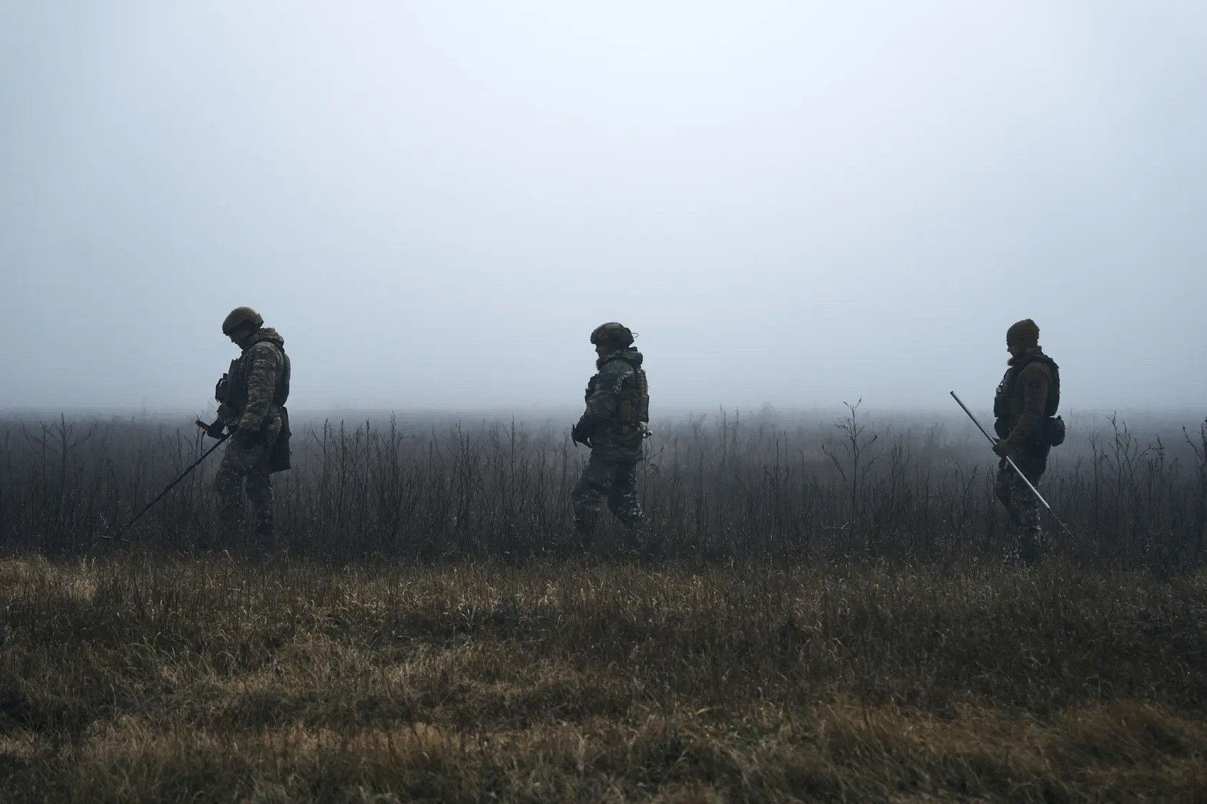
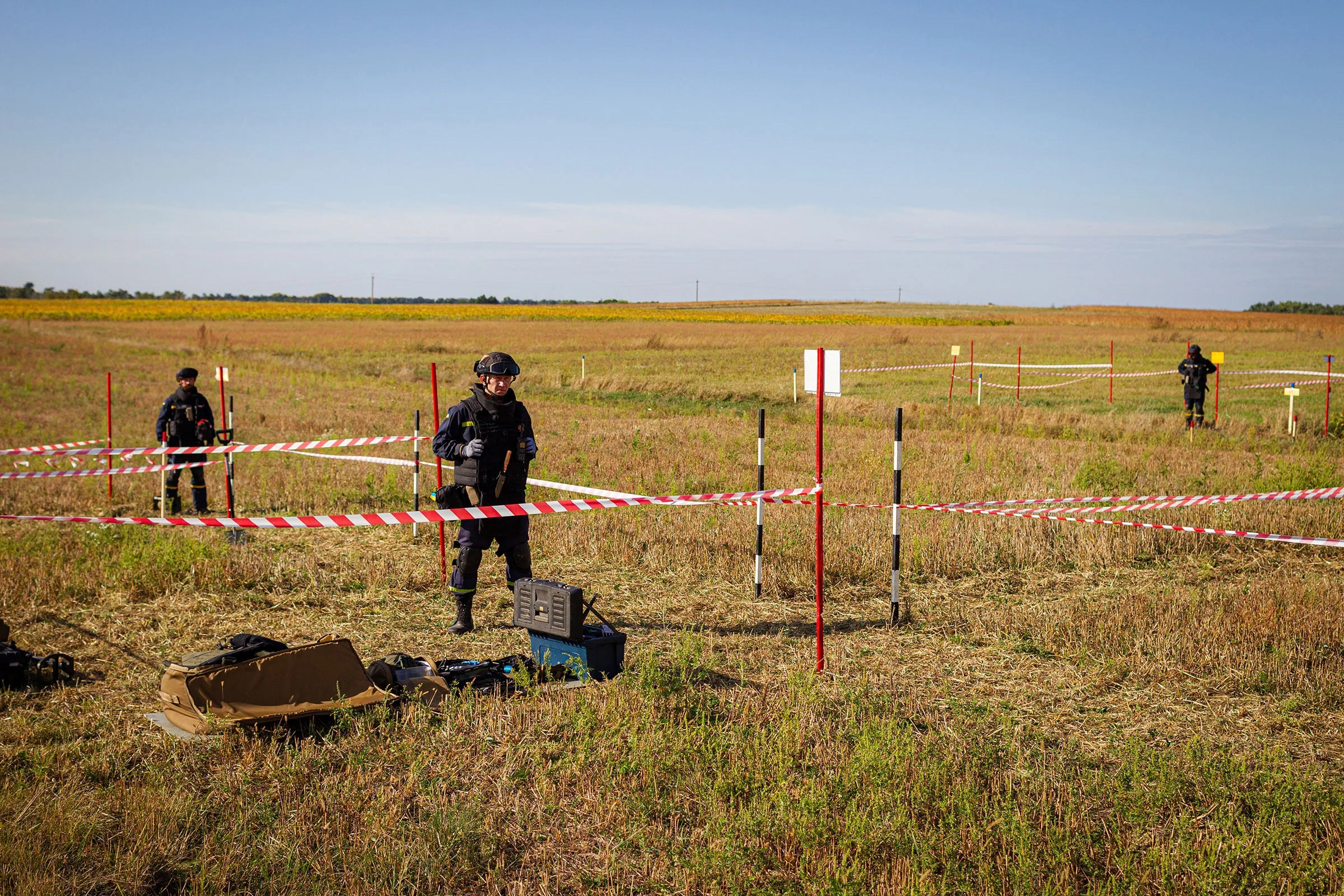
But beyond the data layers, actual demining still relies on people and hardware on the ground. A significant portion of Ukraine’s farmland remains too dangerous to farm. Many farmers have recycled farm equipment and metal detectors to clear their fields themselves. Others hire contractors to clear the land with rudimentary equipment, with no guarantee that the land will be safe to farm afterward.
Ukraine is the first country to conduct humanitarian demining work while fighting an ongoing conflict, said Pete Smith, Ukraine program director at HALO Trust, an international demining NGO with more than 1,000 staff. Data collection is being done everywhere, from drones to partner surveys, he said.
According to the Economy Ministry, Ukraine currently has 29 mine-clearing machines and 3,000 specialists, while a UN official said that 20,000 deminers would be needed to make a significant difference by 2025.
Stealth UAV controlled from Su-57, a new 'nightmare' for Ukraine's air defense
Stealth UAVs controlled from Su-57 manned fighters could be a new "nightmare" for radars and air defense systems of Ukraine and the West.
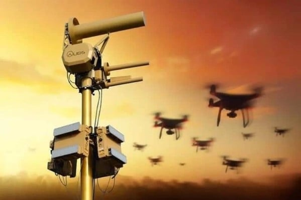
Russia launches new radar system to counter Ukrainian UAVs from a distance of 80 km
Russian engineers have just launched a new air traffic control system (SKVP) capable of detecting "swarms" of unmanned aerial vehicles (UAVs) from a distance of 80 km.
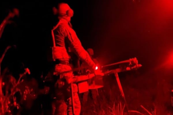
Infrared technology gives Ukraine a tactical advantage over Russia
Infrared night vision technology is giving Ukrainian unmanned aerial vehicle (UAV) units a distinct advantage over their opponents when operating at night.
Source


![[Photo] National Assembly Chairman attends the seminar "Building and operating an international financial center and recommendations for Vietnam"](https://vphoto.vietnam.vn/thumb/1200x675/vietnam/resource/IMAGE/2025/7/28/76393436936e457db31ec84433289f72)


Comment (0)