
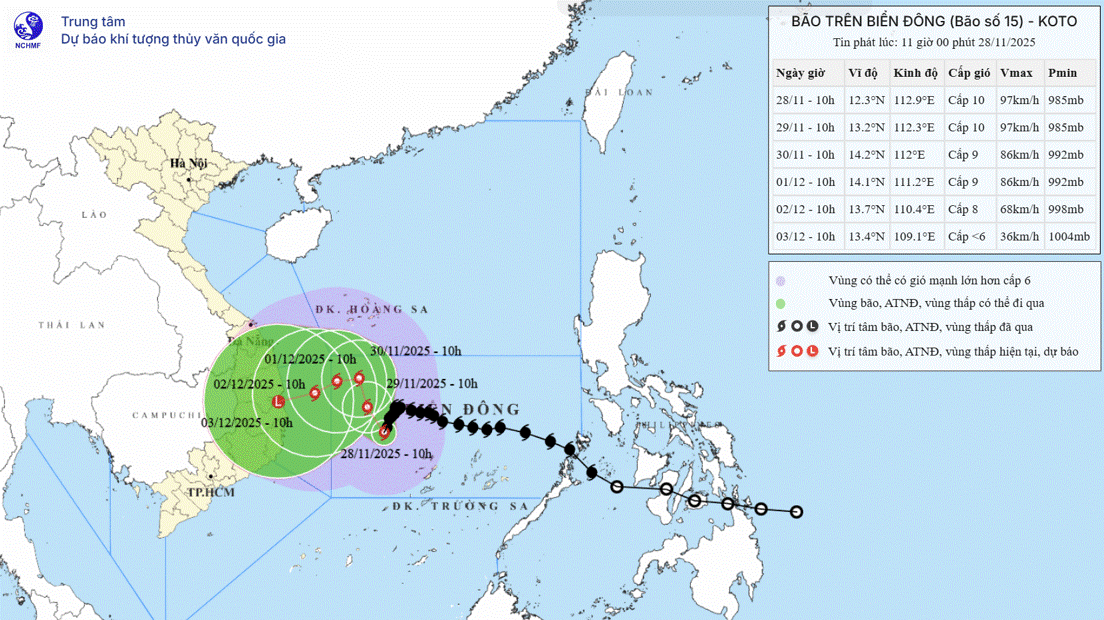
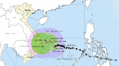
According to the National Center for Hydro-Meteorological Forecasting, the latest update, as of 10:00 a.m. on November 26, the center of the storm was at about 12.5 degrees North latitude; 117.1 degrees East longitude, about 330km East Northeast of Song Tu Tay Island. The strongest wind near the center of the storm is level 8 - 9 (62-88km/h), gusting to level 11. Moving in the West Northwest direction at a speed of 20 - 25km/h.
The main impact period is between November 28 and November 30; it is expected that the area from Da Nang to Lam Dong will likely experience widespread heavy rain, with the heaviest rain concentrated along the coastal strip.
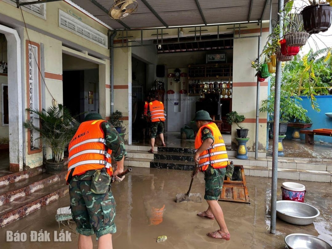 |
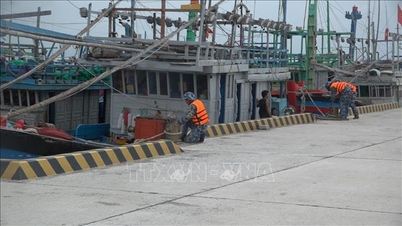
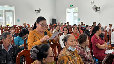
| Officers and soldiers of the provincial armed forces help people overcome flood consequences in Tay Hoa commune. |
To proactively deploy response plans and overcome the consequences of floods in the area, the Provincial Military Command requires agencies and units to thoroughly grasp and strictly implement documents of the Government, the Ministry of National Defense, the General Staff , the Military Region Command, the Provincial People's Committee and the Provincial Military Command on incident response, natural disasters and search and rescue.
The Provincial Military Command requests agencies and units to monitor the latest developments on the tropical depression situation on mass media. Maintain strict combat readiness, on-duty teams to prevent natural disasters; proactively check warehouse systems, reinforce houses; review, adjust, and supplement plans and plans for natural disaster prevention and search and rescue; consolidate, overcome, supplement materials, and check vehicles involved in overcoming floods; prepare forces ready to mobilize and coordinate with local support forces and people to respond and search and rescue when situations arise.
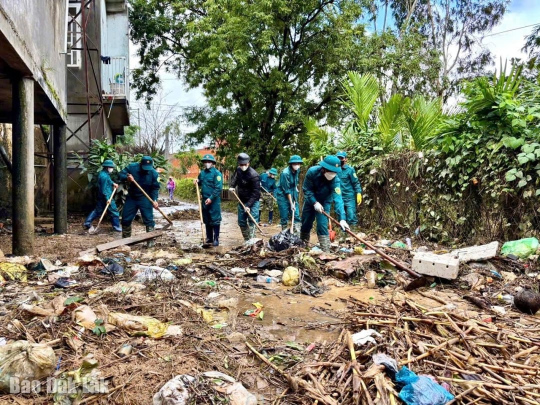 |
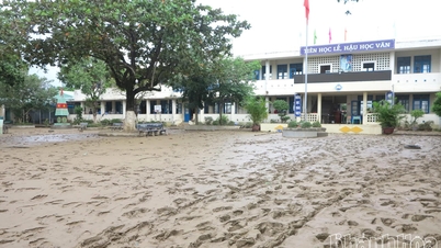
| Militia forces clean up after the flood in Hoa Son commune. |
Agencies and units in charge of construction and mobile missions outside the barracks should pay attention to inspecting and evaluating specific barracks, camps, and construction areas; be ready to evacuate forces, vehicles, and equipment from areas at risk of landslides, floods, and flash floods to ensure safety.
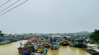
The Provincial Border Guard Command coordinates with local authorities and functional agencies to promptly notify vehicle owners and captains of ships and boats operating at sea of the location and direction of tropical depression/storm movement to proactively prevent, avoid, and ensure safety of people, vehicles, and property.
Source: https://baodaklak.vn/tin-moi/202511/luc-luong-vu-trang-trien-khai-cac-phuong-an-ung-pho-bao-so-15-ce00fbd/

![[Photo] Prime Minister Pham Minh Chinh chairs the 15th meeting of the Central Emulation and Reward Council](/_next/image?url=https%3A%2F%2Fvphoto.vietnam.vn%2Fthumb%2F1200x675%2Fvietnam%2Fresource%2FIMAGE%2F2025%2F11%2F27%2F1764245150205_dsc-1922-jpg.webp&w=3840&q=75)

![[Photo] President Luong Cuong attends the 50th Anniversary of Laos National Day](/_next/image?url=https%3A%2F%2Fvphoto.vietnam.vn%2Fthumb%2F1200x675%2Fvietnam%2Fresource%2FIMAGE%2F2025%2F11%2F27%2F1764225638930_ndo_br_1-jpg.webp&w=3840&q=75)


Comment (0)