
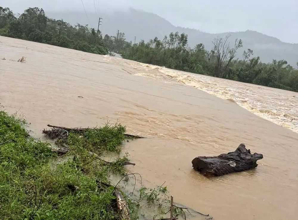
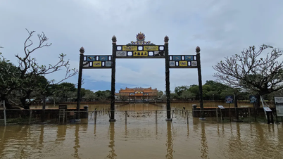
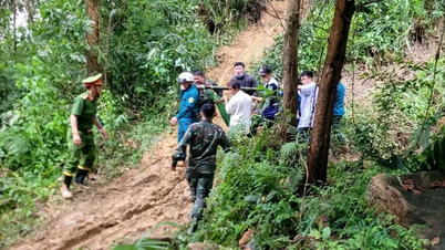
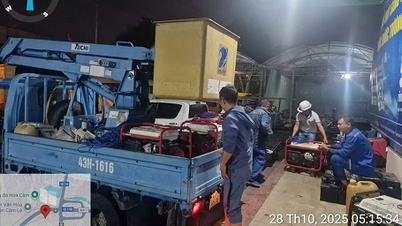
On the evening of October 30, Mr. Vu Trung Tien, Deputy Secretary of the Party Committee of Ky Thuong Commune ( Ha Tinh Province) said that heavy rain combined with floodwaters from upstream caused many roads to be seriously cut off. Two important bridges, Ben Xat Bridge and Nha Co Bridge, were submerged 1-2m deep, with fast-flowing water, and the length of the flooded area was about 80-100m, isolating 10 villages of the commune.
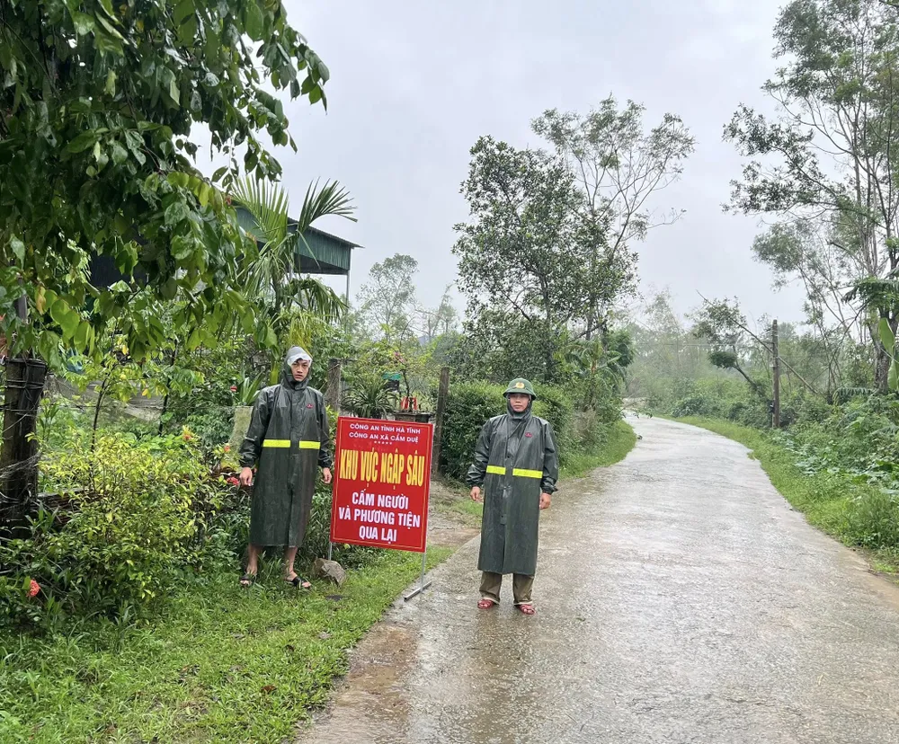
Local authorities have erected barriers, posted warning signs, and prohibited people from passing through to ensure safety.

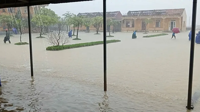
In Vung Ang ward, 146 households with 334 people were urgently evacuated from low-lying areas to safety.
In addition, Ky Xuan commune also recorded 22 households with flooded houses, many inter-village and inter-commune roads were partially flooded in Vung Ang, Hai Ninh wards and Ky Xuan commune.
According to the Standing Office of the Steering Committee for Natural Disaster Prevention and Control of Ha Tinh province, in the past 24 hours, the rainfall recorded at many places exceeded 300mm, concentrated in the following areas: Ky Phong 345mm, Thuong Tuy 332mm, Ky Bac 314mm...

Heavy rains also caused water levels in major reservoirs in the area to rise. As of 1 p.m. on October 30: Ke Go Lake reached 289 million/345 million m³ (83.8% of design capacity); Song Rac Lake reached 100% of design capacity; Ngan Truoi Lake reached 62% of capacity...
The reservoir management unit has increased the regulated flow through the spillway to ensure the safety of the project and the downstream area. Particularly at Ho Ho Hydropower Reservoir, at 13:00 on the same day, the upstream water level reached 65.95/70m, and is being regulated with a flow of 146m³/s.
On National Highway 1A, at Km584+500 (Hoanh Son ward), a landslide occurred at Km590+0. Authorities have put up warning signs and assigned guards to ensure the safety of passing vehicles.
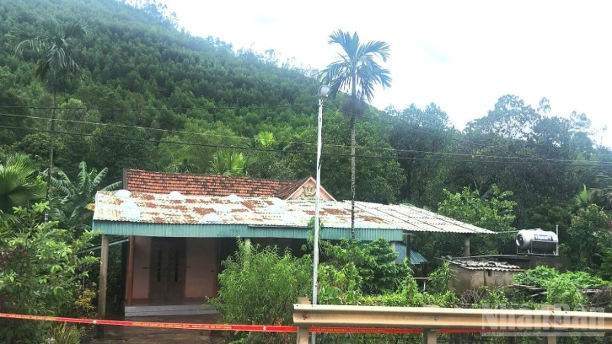
In Cam Due commune, prolonged heavy rains caused water levels to rise rapidly, causing localized flooding in four villages. Local authorities mobilized police and military forces to assist people in evacuating their property and livestock from the danger zone.

Currently, functional forces at all levels are continuing to be on duty 24/7, closely monitoring weather developments, and proactively responding to possible bad situations.
Source: https://www.sggp.org.vn/mua-lon-khien-nhieu-thon-o-ha-tinh-bi-chia-cat-post820901.html
![[Photo] The Third Patriotic Emulation Congress of the Central Internal Affairs Commission](https://vphoto.vietnam.vn/thumb/1200x675/vietnam/resource/IMAGE/2025/10/30/1761831176178_dh-thi-dua-yeu-nuoc-5076-2710-jpg.webp)
![[Photo] General Secretary To Lam attends the Vietnam-UK High-Level Economic Conference](https://vphoto.vietnam.vn/thumb/1200x675/vietnam/resource/IMAGE/2025/10/30/1761825773922_anh-1-3371-jpg.webp)
![[Photo] National Assembly Chairman Tran Thanh Man receives foreign ambassadors who came to say goodbye](https://vphoto.vietnam.vn/thumb/1200x675/vietnam/resource/IMAGE/2025/10/30/1761820977744_ndo_br_1-jpg.webp)
![[Photo] Touching scene of thousands of people saving the embankment from the raging water](https://vphoto.vietnam.vn/thumb/1200x675/vietnam/resource/IMAGE/2025/10/30/1761825173837_ndo_br_ho-de-3-jpg.webp)
![[Photo] General Secretary To Lam meets former British Prime Minister Tony Blair](https://vphoto.vietnam.vn/thumb/1200x675/vietnam/resource/IMAGE/2025/10/30/1761821573624_tbt-tl1-jpg.webp)


Comment (0)