
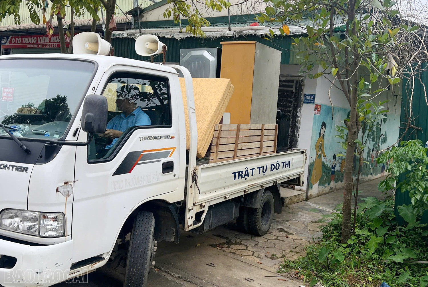
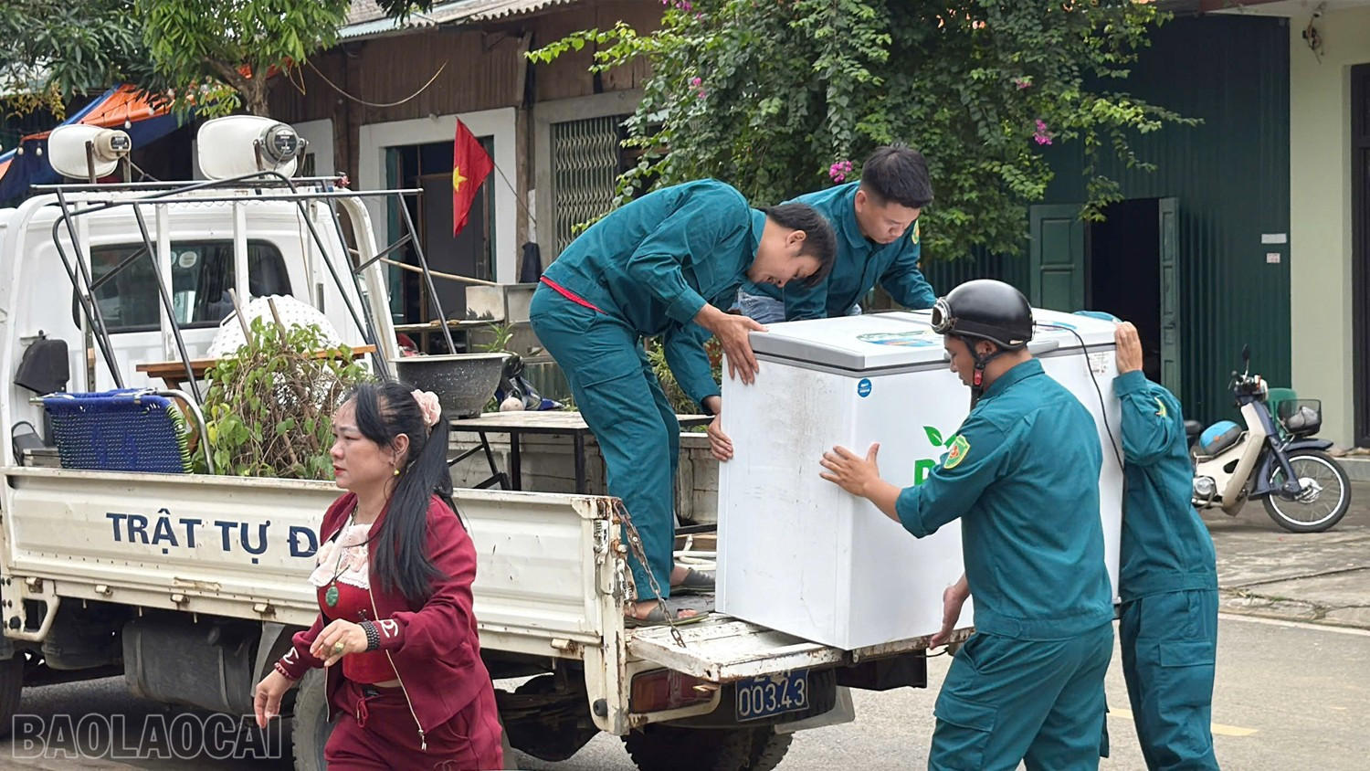

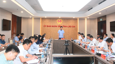
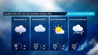
After a period of monitoring, the embankment area behind 16 households continued to fluctuate and was at high risk of landslides. Cam Duong Ward agreed with the households to urgently move people and property to a safe place. Currently, 16 households have been moved to temporarily stay at relatives' houses and some households have been arranged to stay at the ward's kindergarten.
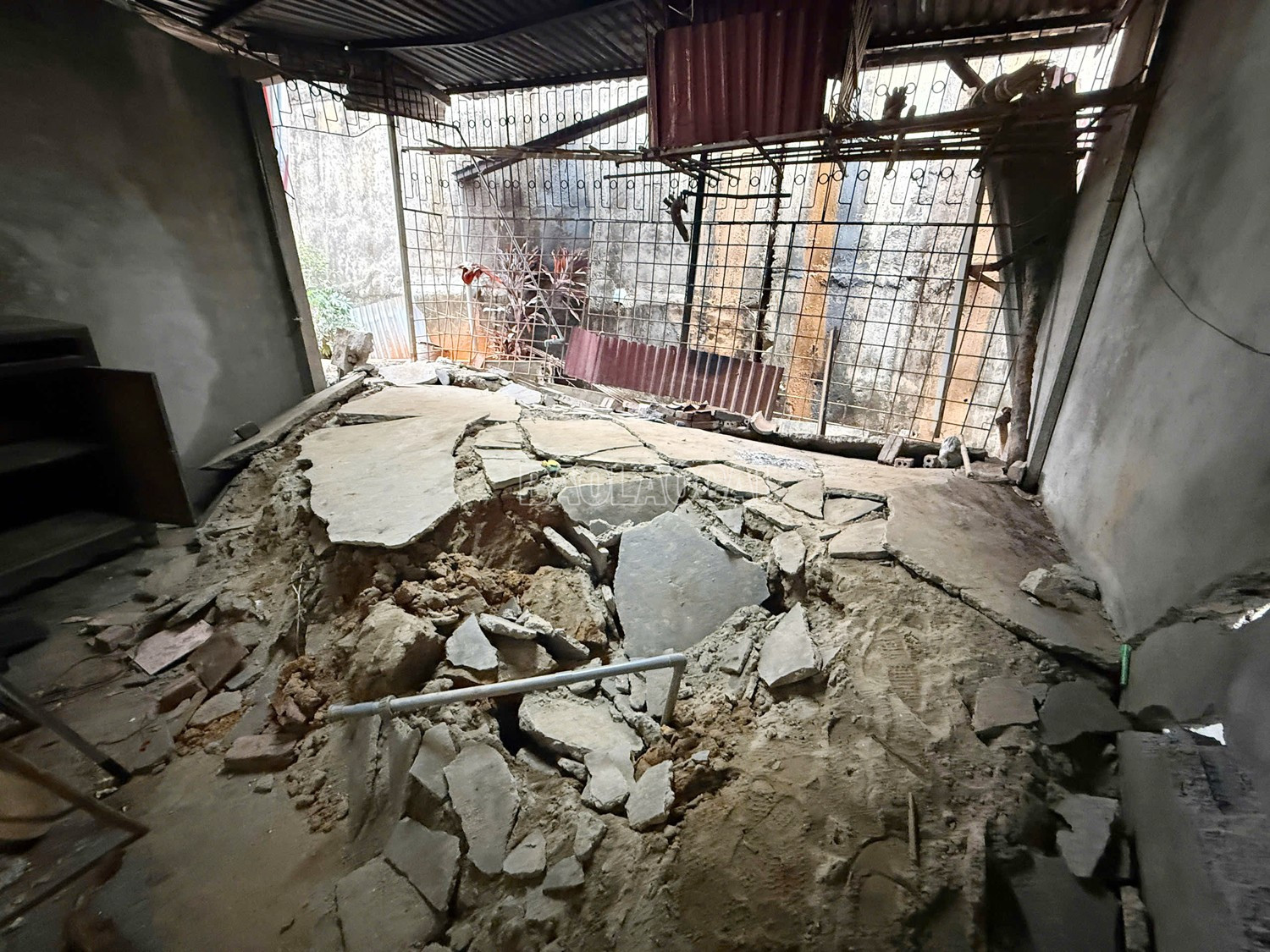
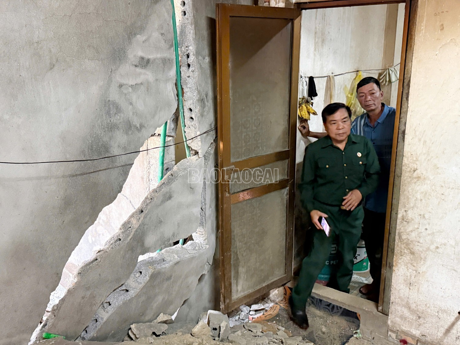
Previously, in 2024, due to the impact of storm No. 3 (Yagi), at the foot of the slope behind the Provincial Political School (in group 12), there was a phenomenon of slope sliding and landslide with a long sliding arc, causing displacement of the construction, structural fracture and damage to 22 houses. By 2025, this area continued to be affected by storm No. 10 and storm No. 11, causing landslides to spread towards B6 road (Mo Sinh). The concrete embankment behind the households appeared many large cracks, the slope continued to slide and collapse, cracking the yard, foundation and walls of 16 households, posing a very high risk of insecurity for people living in the area.
To ensure the safety of people's lives and property, Cam Duong Ward People's Committee has notified and requested households to urgently move out of areas with high risk of landslides. At the same time, the ward also coordinated with provincial agencies, departments and branches to find long-term solutions in the above area.


Source: https://baolaocai.vn/phuong-cam-duong-di-chuyen-khan-cap-16-ho-dan-khoi-vung-nguy-hiem-sat-lo-post885713.html
![[Photo] Da Nang: Water gradually recedes, local authorities take advantage of the cleanup](https://vphoto.vietnam.vn/thumb/1200x675/vietnam/resource/IMAGE/2025/10/31/1761897188943_ndo_tr_2-jpg.webp)


![[Photo] Prime Minister Pham Minh Chinh attends the 5th National Press Awards Ceremony on preventing and combating corruption, waste and negativity](https://vphoto.vietnam.vn/thumb/1200x675/vietnam/resource/IMAGE/2025/10/31/1761881588160_dsc-8359-jpg.webp)


Comment (0)