

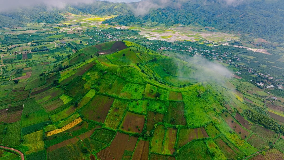
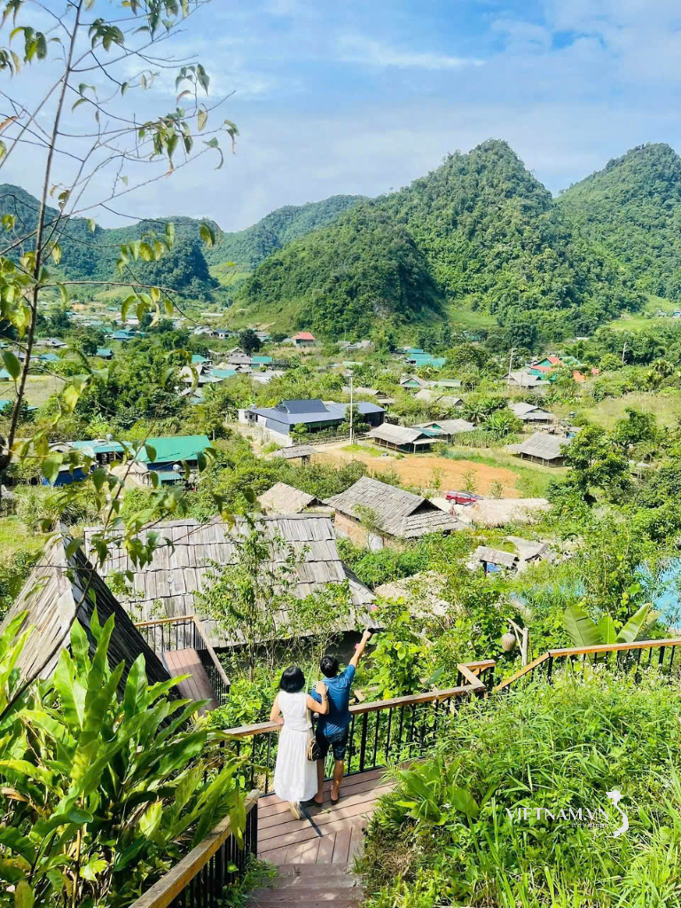
Ganh Da Dia - An attractive tourist destination of Phu Yen province.
The scope of planning research includes 808.89 hectares. (excluding the protected area of the National Special Scenic Site of Ganh Da Dia), located in Sub-zone 9, An Ninh Dong Commune, Tuy An District, Phu Yen Province.
The planning research object includes the entire Ganh Da Dia National Special Scenic Area and the surrounding natural landscape, environment and ecology. The values of tangible cultural heritage, intangible cultural heritage, environmental landscape and related documents and artifacts; the management, protection and promotion of the value of Ganh Da Dia Scenic Area and urban, socio- economic and population factors; related policies and institutions; the current status of technical infrastructure, land use in the planning area; the relationship with relics, works and locations in the area to connect and develop tourism.
Ganh Da Dia becomes an attractive tourist destination of Phu Yen province
The planning objective is to fully identify the value and preserve the unique geological values of Ganh Da Dia Scenic Area; protect water resources, biodiversity, geology, geomorphology and cultural heritage of the community in the area; complete the system of records and data as a basis for digital transformation and automation in the management, protection and promotion of relic values.
Promote the value of Ganh Da Dia scenic spot, making it an attractive tourist destination of Phu Yen province, the South Central region and the whole country; connect with other historical - cultural relics and scenic spots in the locality, form a chain of tourism products, combine protection and environmental protection, contribute to the socio-economic development of the locality and raise awareness and responsibility of the community in preserving the unique values of scenic spots and traditional cultural heritage of the area.
At the same time, determine the boundaries for protecting scenic spots as a legal basis for management and protection; determine functional areas, organize landscape architecture spaces and arrange technical infrastructure suitable for the stages of conservation and promotion of scenic spot values.
Establish a Plan as a legal basis for attracting investment resources; manage and protect scenic spots and heritages in the area; establish, appraise, approve and implement component projects on preservation, restoration, rehabilitation and promotion of the value of scenic spots; develop regulations to manage and control the landscape architectural planning space of scenic spots and neighboring areas, in accordance with approved plans and other relevant plans.
Requirements for the content of the Planning Task include: Determining the requirements for research, survey, and assessment of the current status of scenic spots; assessing regional connections including: Connections with the urban system, tourism and residential areas in the area, location, and role of scenic spots in tourism development in particular and the local socio-economic development in general; determining characteristics, identifying constituent elements, landscape space structure and other typical values of scenic spots...
Source


![[Photo] National Assembly Chairman attends the seminar "Building and operating an international financial center and recommendations for Vietnam"](https://vphoto.vietnam.vn/thumb/1200x675/vietnam/resource/IMAGE/2025/7/28/76393436936e457db31ec84433289f72)


Comment (0)