
(CPV) – The tropical depression in the eastern Philippines is forecast to strengthen into a storm in the next 24 hours and head towards the East Sea.
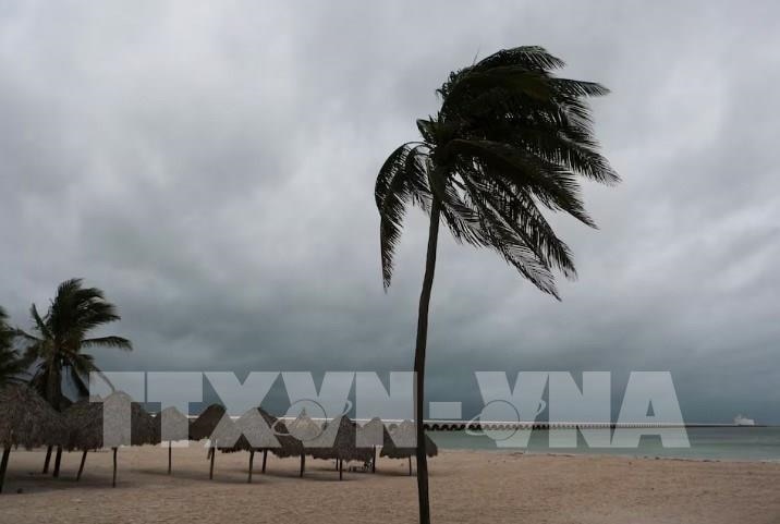 |
| Illustrative photo. (Source: VNA) |
On the evening of October 21, the National Center for Hydro-Meteorological Forecasting said that there is currently a tropical depression active in the eastern region of the Philippines.
At 4:00 p.m. on October 21, the center of the tropical depression was at about 13.5 degrees North latitude; 131 degrees East longitude, about 1,300 km southeast of Luzon Island (Philippines). The strongest wind near the center of the tropical depression was level 7 (50-61 km/h), gusting to level 9.
In the next 24 hours, the tropical depression will move mainly in a West-Northwest direction and is likely to strengthen into a storm. At 4 p.m. on October 22, the center of the storm will be at about 14.8 degrees North latitude; 127.1 degrees East longitude, in the sea east of the Philippines. The strongest wind near the center of the storm is level 8 (62-75 km/h), gusting to level 11; waves are 3-4 meters high.
It is forecasted that around October 25, the storm is likely to move into the East Sea. From around the afternoon and night of October 24, the eastern sea area of the North East Sea will have winds gradually increasing to level 8, near the storm center will have strong winds of level 9-10, gusting to level 12; very rough seas, waves 3-5m high, thunderstorms with dangerous whirlwinds.
On the afternoon of October 21, the meteorological agency also said that currently in the eastern sea area of the North East Sea, there are strong northeast winds of level 6, sometimes level 7. The southern sea area of the Central East Sea and the southern East Sea area (including the sea area of the Truong Sa archipelago), the sea area from Quang Tri to Quang Ngai and the Gulf of Thailand has scattered showers and thunderstorms.
In addition, on the night of October 21-22, the Central and Southern East Sea (including the waters of the Truong Sa archipelago), the Southern Gulf of Tonkin, the waters from Quang Tri to Ca Mau , Ca Mau to Kien Giang and the Gulf of Thailand will have scattered showers and thunderstorms. During thunderstorms, there is a possibility of tornadoes and strong gusts of wind of level 7-8.
Forecast for the night of October 22-23, in the North East Sea area (including the waters of Hoang Sa archipelago), there will be strong Northeast winds of level 6, sometimes level 7, gusting to level 8-9, rough seas; waves from 2.5-4.5m high.
In the Gulf of Tonkin, the northeast wind gradually increases to level 6, sometimes level 7, gusting to level 8; the sea is rough; the waves are 1.5-2.5m high. The sea area from Quang Tri to Binh Thuan and the northern sea area of the Central East Sea has strong northeast wind at level 5, sometimes level 6, gusting to level 7-8; the sea is rough; the waves are 2.0-3.5m high. The risk level of natural disasters due to strong winds at sea is level 2. All ships operating in the above areas are at high risk of being affected by tornadoes, strong winds and big waves./.


Comment (0)