
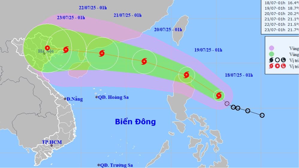
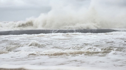
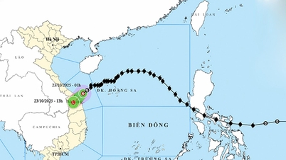
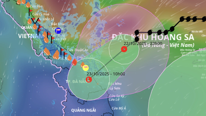
The center of the storm is currently about 200km east of Luzon Island (Philippines), with winds at level 8. In the next 24 hours, the storm will move west-northwest at a speed of 20-25km/hour. After entering the East Sea, the storm will continue to strengthen, possibly reaching level 11-12 and directly affecting the mainland of Vietnam from around July 22.
Meteorological experts say that the movement of typhoon WIPHA is quite similar to typhoon Yagi (typhoon No. 3 in 2024). According to the forecast of the National Center for Hydro-Meteorological Forecasting, from July 21 to 23, the North and Thanh Hoa will have heavy to very heavy rain, with a high risk of flash floods, landslides and localized flooding.

On the afternoon of July 18, in Hanoi, the Deputy Minister of Agriculture and Environment will chair an urgent meeting with ministries, branches and localities to discuss proactive measures to respond to the storm.
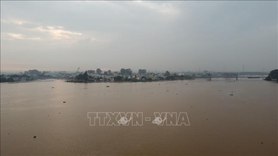
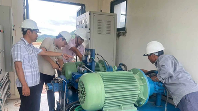
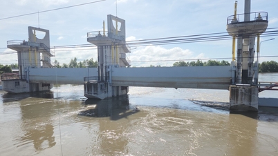
Meanwhile, large reservoirs in the North are being operated according to the Inter-reservoir Process to create capacity to receive floods. Currently, Hoa Binh Hydropower Plant has opened 3 bottom spillway gates, Tuyen Quang Hydropower Plant has opened 1 gate. Recorded at 8:00 a.m. the same day, the total amount of water discharged from Hoa Binh Reservoir to the downstream was nearly 7,000 m³/hour, while the amount of water flowing into the reservoir was about 4,000 m³/hour.
Authorities recommend people closely monitor the developments of storm No. 3 to proactively prevent and minimize damage.
Source: https://www.sggp.org.vn/bao-so-3-sap-vao-bien-dong-huong-ve-ban-dao-loi-chau-post804265.html

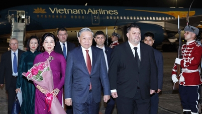
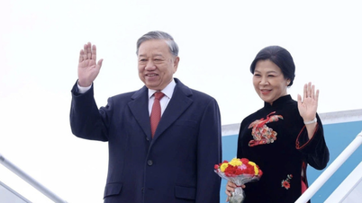
![[Photo] General Secretary To Lam and his wife begin their official visit to Bulgaria](https://vphoto.vietnam.vn/thumb/1200x675/vietnam/resource/IMAGE/2025/10/23/1761174468226_tbtpn5-jpg.webp)
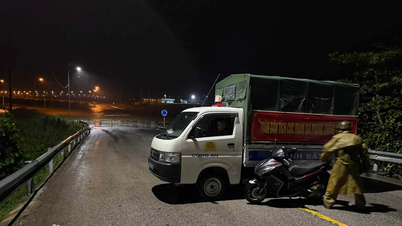
![[Photo] Da Nang: Shock forces protect people's lives and property from natural disasters](https://vphoto.vietnam.vn/thumb/1200x675/vietnam/resource/IMAGE/2025/10/22/1761145662726_ndo_tr_z7144555003331-7912dd3d47479764c3df11043a705f22-3095-jpg.webp)
![[Photo] Comrade Nguyen Duy Ngoc visited and worked at SITRA Innovation Fund and ICEYE Space Technology Company](https://vphoto.vietnam.vn/thumb/1200x675/vietnam/resource/IMAGE/2025/10/23/1761174470916_dcngoc1-jpg.webp)
![[Photo] Prime Minister Pham Minh Chinh chairs meeting on nuclear power plant construction](https://vphoto.vietnam.vn/thumb/1200x675/vietnam/resource/IMAGE/2025/10/22/1761137852450_dsc-9299-jpg.webp)
![[Photo] Award Ceremony of the Political Contest on Protecting the Party's Ideological Foundation](https://vphoto.vietnam.vn/thumb/1200x675/vietnam/resource/IMAGE/2025/10/22/1761151665557_giaia-jpg.webp)


Comment (0)