
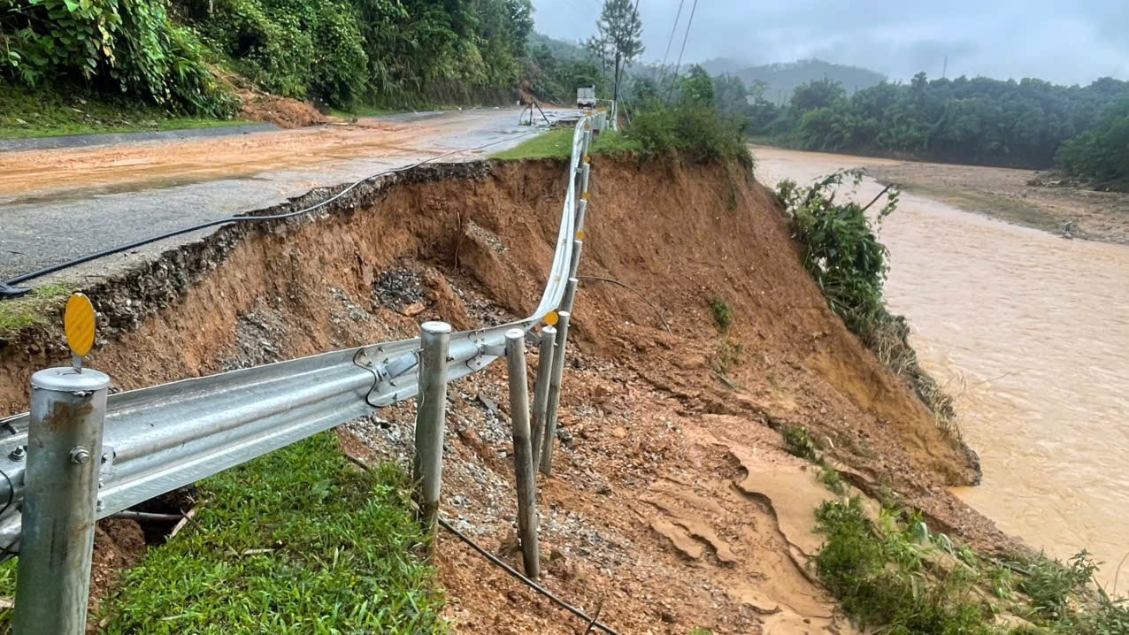
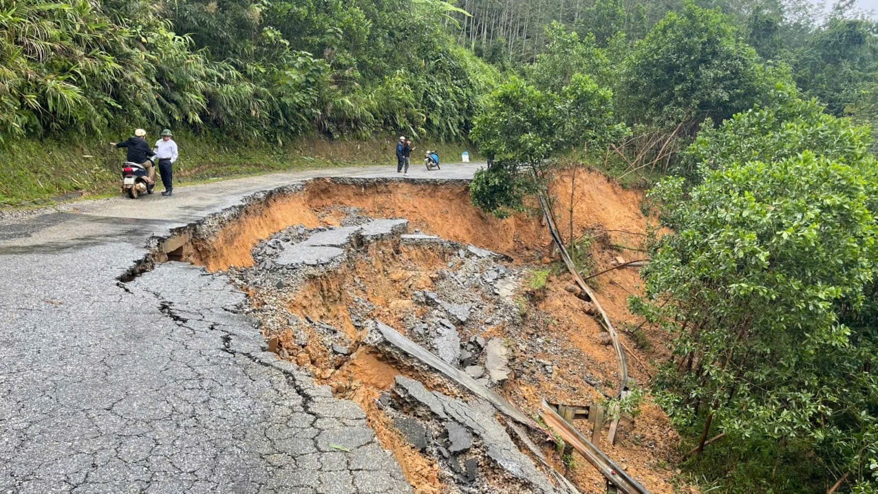
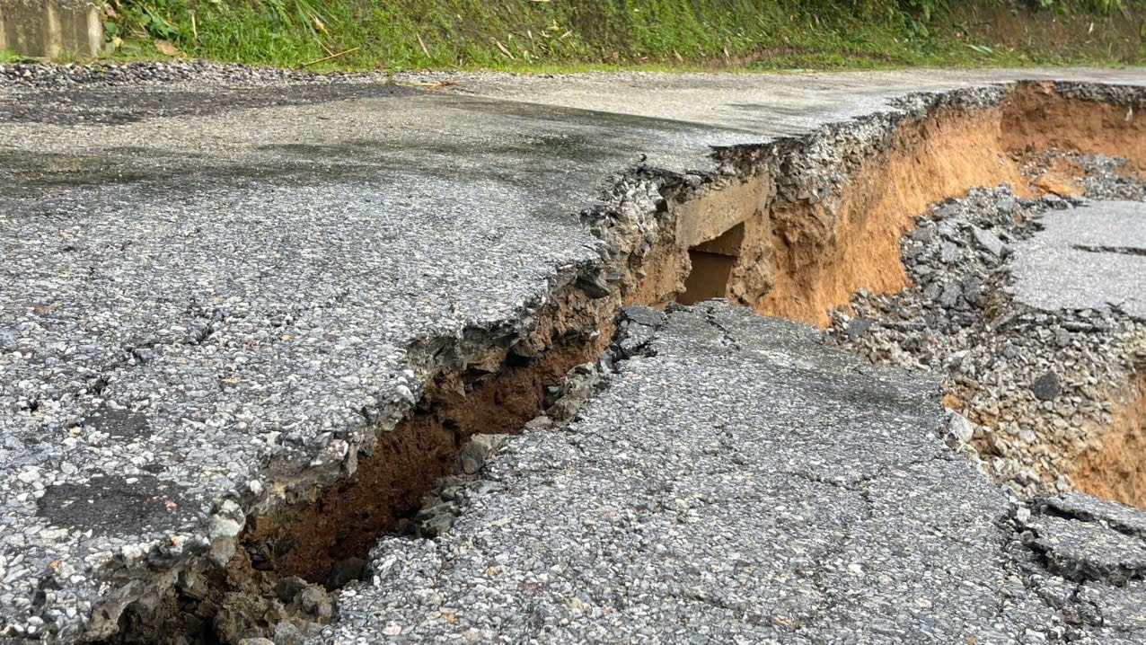
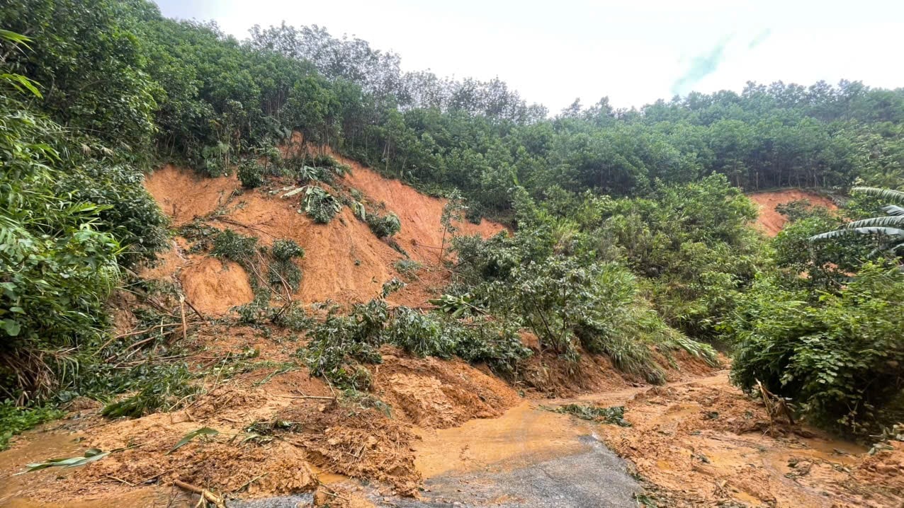
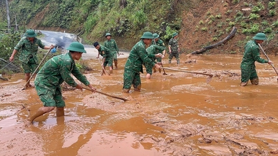
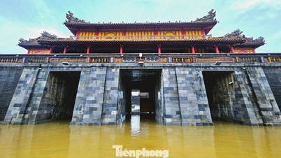
Mr. Bhling Mia, Secretary of the Party Committee of Tay Giang Commune, said that on the DT606 route passing through the commune, there were at least 42 landslides on the negative and positive slopes. Many locations had fractures and subsidence of more than half of the roadbed, with open spaces; posing a risk to the safety of people and vehicles traveling through these areas.
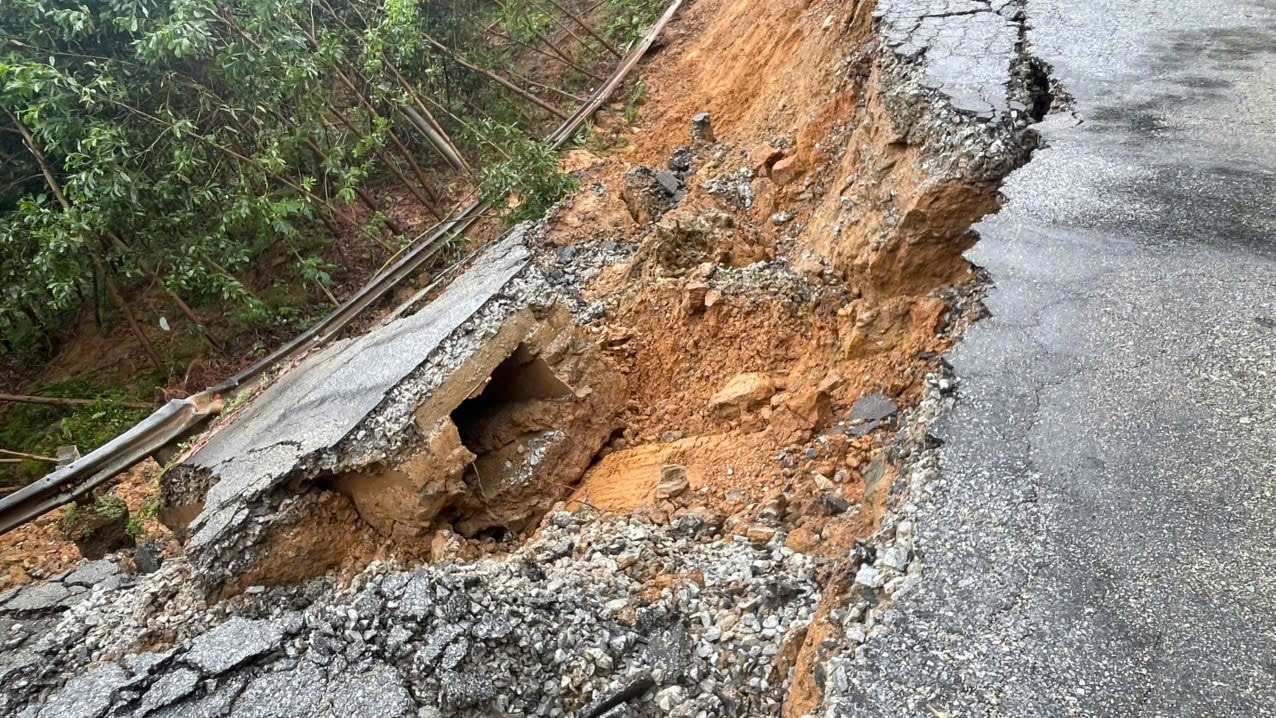
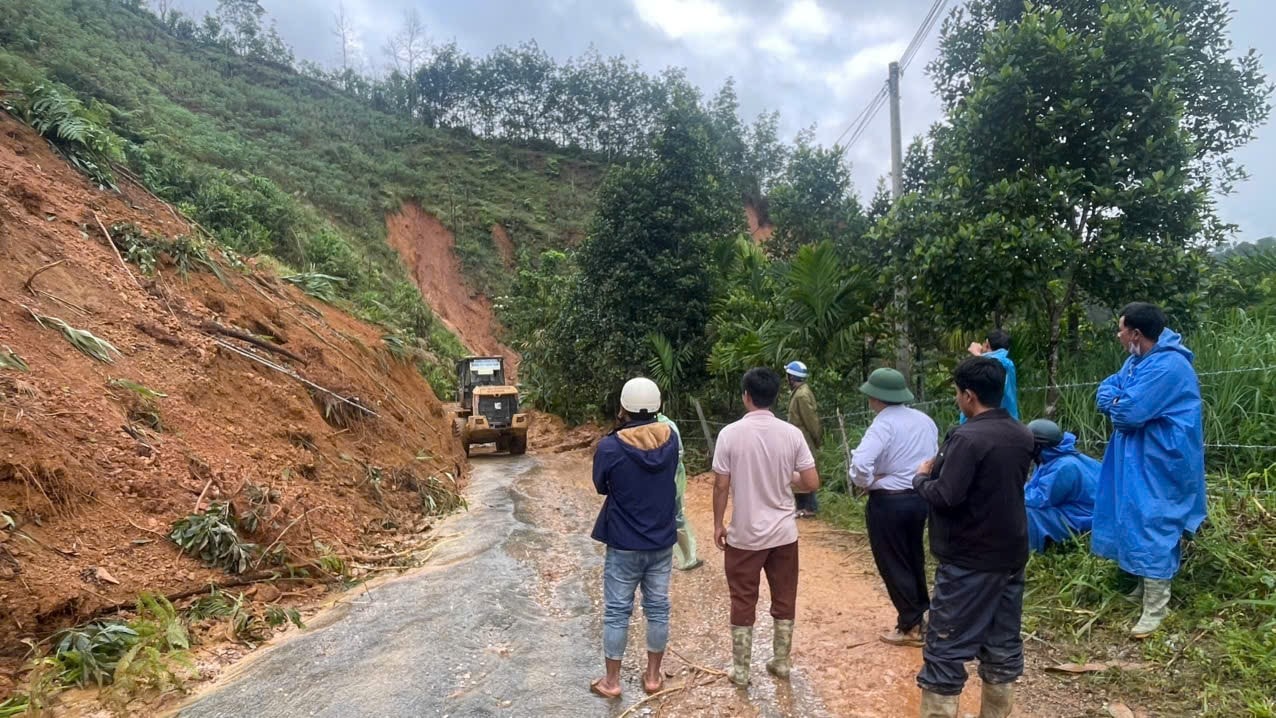
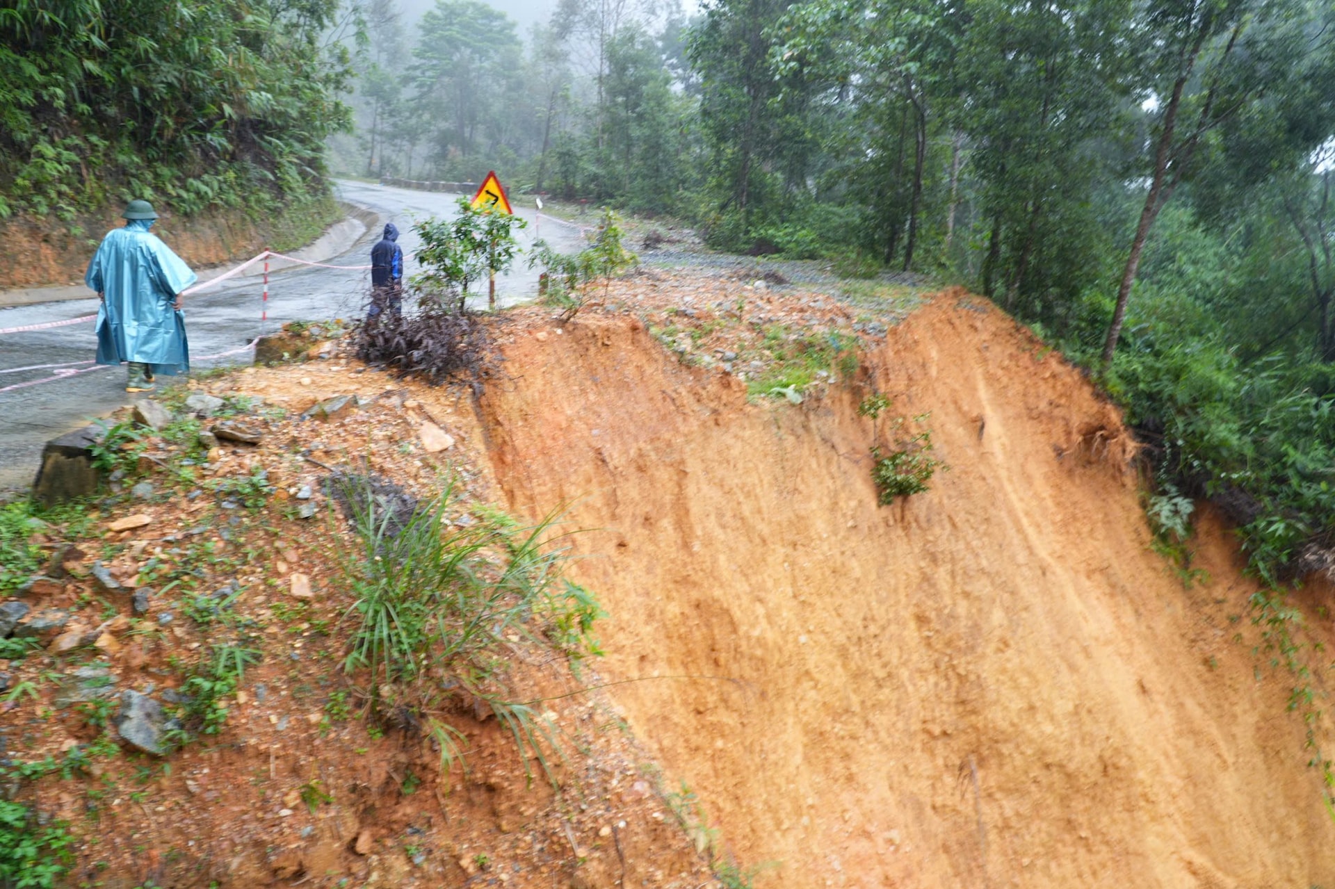
Currently, the road maintenance unit is making efforts to level the layers of soil and rocks that have spilled onto the roadbed, striving to open the first phase of the road to traffic on the morning of October 31; at the same time, ropes are being put up and warning signs are being placed at some dangerous locations.
"With the forecast of complicated rain and flood situations, the risk of landslides will continue. We are recommending that the Department of Construction soon have a plan to fix landslides and ensure traffic safety on this vital route," said Mr. Mia.

[ VIDEO ] - Highway 606 destroyed after flood:
Source: https://baodanang.vn/can-canh-tuyen-dt606-nat-tuom-sau-mua-lu-3308821.html


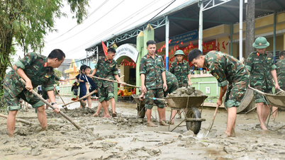
![[Photo] Da Nang: Water gradually recedes, local authorities take advantage of the cleanup](https://vphoto.vietnam.vn/thumb/1200x675/vietnam/resource/IMAGE/2025/10/31/1761897188943_ndo_tr_2-jpg.webp)
![[Photo] Prime Minister Pham Minh Chinh attends the 5th National Press Awards Ceremony on preventing and combating corruption, waste and negativity](https://vphoto.vietnam.vn/thumb/1200x675/vietnam/resource/IMAGE/2025/10/31/1761881588160_dsc-8359-jpg.webp)


Comment (0)