
The Government Office said on May 8 that the Ministry of Construction was assigned to review and ensure sufficient grounds for adjusting the planning according to the simplified procedure, as prescribed in Article 54a of the Law on Planning (amended by Law No. 57/2024/QH15). During the implementation process, attention should be paid to air traffic safety assessment and avoiding overlap and airspace conflicts.
When qualified, the Minister of Construction will approve the planning adjustment and report to the Prime Minister.
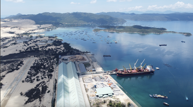
According to the project submitted to the Government, Van Phong airport is expected to be located in Van Thang commune, Van Ninh district, Khanh Hoa province. This location is about 65 km south of Nha Trang city, about 108 km south of Cam Ranh international airport, and about 48 km from Tuy Hoa airport.
The airport is expected to be located entirely on the coastal water surface, with an area of approximately 497 hectares. The expected capacity is 1.5 million passengers per year by 2030 and 2.5 million by 2050; the airport meets level 4E according to the classification of the International Civil Aviation Organization (ICAO).
Mang Den Airport is proposed to be located in Mang Den town, Kon Plong district, Kon Tum province, about 45 km from Kon Tum city, about 73 km northeast of Pleiku airport, about 105 km from Phu Cat airport, about 93 km southwest of Chu Lai airport.
The planning area is located in a mountainous area, with an area of about 350 hectares, with an expected capacity of 1 million passengers per year by 2030. This airport meets ICAO standards of level 4C, with plans to renovate to increase capacity after 2030.
Previously, according to the Master Plan for the development of the national airport system for the period 2021-2030, with a vision to 2050, Van Phong and Mang Den were identified as two potential locations for airport development.
Source: https://baoquangninh.vn/de-xuat-bo-sung-san-bay-van-phong-va-mang-den-vao-quy-hoach-quoc-gia-3357247.html


Comment (0)