
Through a quick survey, many affected areas were recorded in the area. Notably, the Tan Lap - Hop Thanh inter-village road had a landslide about 30 m long and 15-20 m deep; some sections of the Tan Lap inner-village road continue to have the potential risk of landslides.
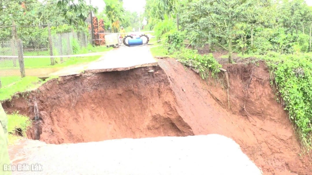 |
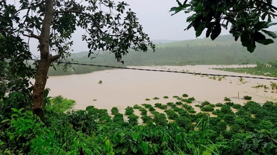
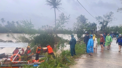
Tan Lap - Hop Thanh inter-village road (Krong Buk commune) was eroded. |
In addition, locations such as An Binh village hydroelectric reservoir, Hop Thanh village bridge spillway, Kim Phu village bridge and Drah village bridge spillway also show signs of being unsafe due to high water levels.
The commune leaders have directed the functional forces to block off the heavily eroded area on the Tan Lap - Hop Thanh route to ensure the safety of people and vehicles; at the same time, propagandize households near the eroded concrete road area to raise vigilance and keep a safe distance due to the risk of landslides continuing to occur when heavy rain continues.
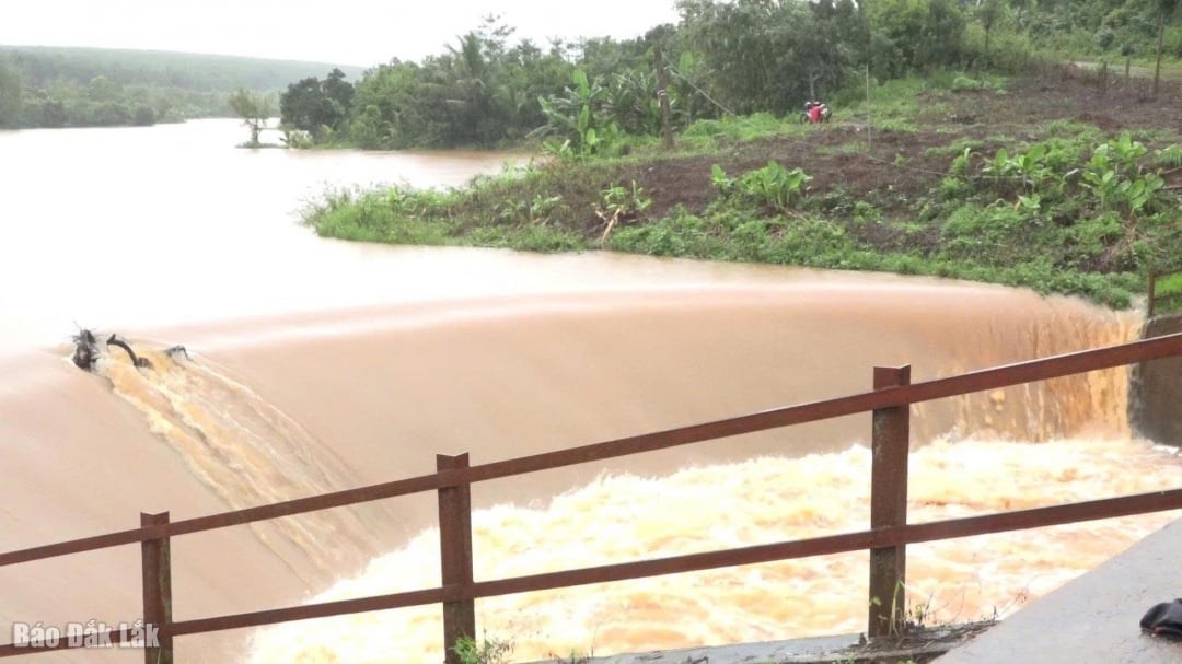 |
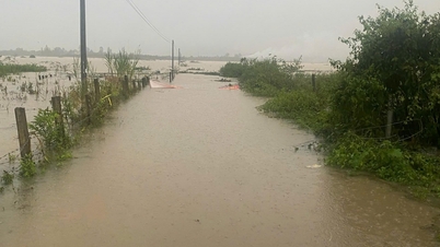
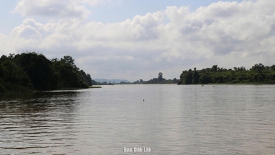
| Water level at An Binh village hydroelectric reservoir at 4:00 p.m. on November 19. |
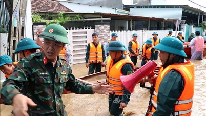
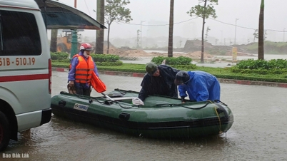
In addition, the Commune Civil Defense Command has maintained 24/7 duty, assigned members to be in charge of the area and activated response teams in villages and hamlets to regularly update the situation and promptly handle arising incidents.
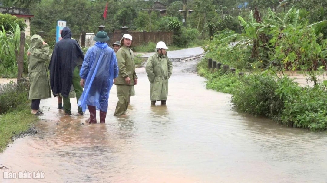 |
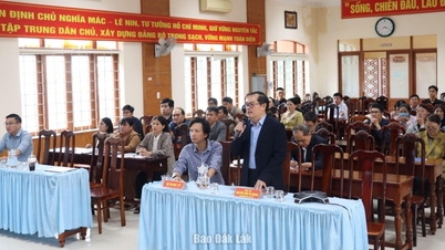
| Leaders of Krong Buk commune inspected Hop Thanh village. |
To warn people, Krong Buk commune has placed 15 warning signs at locations at risk of landslides and deep flooding on traffic routes, contributing to limiting risks and ensuring safety during the rainy season.
Source: https://baodaklak.vn/kinh-te/202511/mua-lu-gay-sat-lo-mot-tuyen-giao-thong-o-xa-krong-buk-a8c2547/


Comment (0)