
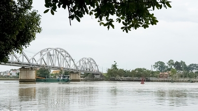
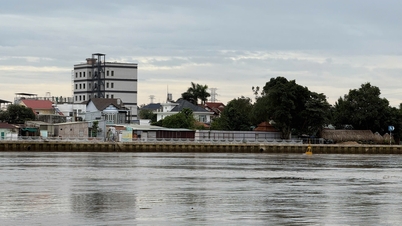
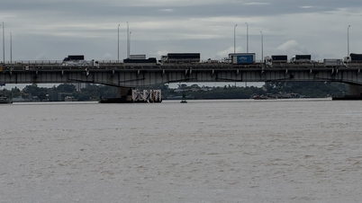
Specifically, at Ta Lai station ( Dong Nai river), the water level continues to fall slowly, below alarm level 2 (112.5m); at Phu Hiep station (La Nga river), the water level continues to fall slowly, below alarm level 1 (104.5m); at Tri An station (Tri An lake), the water level changes slowly, above alarm level 1 (61.4m); at Bien Hoa station (downstream of Dong Nai river), the peak high tide water level falls slowly, above alarm level 1 (1.8m).
It is forecasted that in the next 24 hours, at Ta Lai station, the water level will slowly decrease, below alert level 2. At Phu Hiep station and Bien Hoa station, the water level will gradually decrease, below alert level 1, with no possibility of flooding.

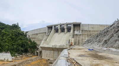
At Tri An station, the water level changes slowly, at alert level 1. The flood warning level that may occur on Dong Nai River and Tri An Lake is alert level 1.
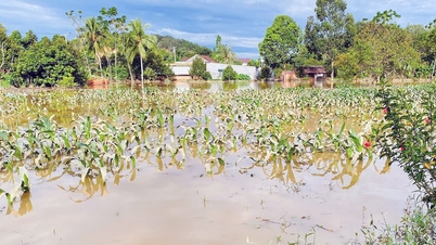
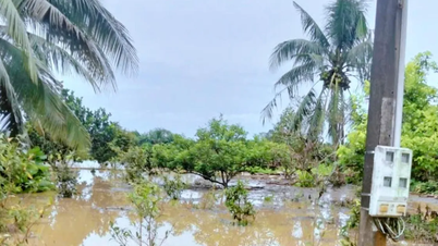
Dong Nai Hydrometeorological Agency forecasts that areas likely to be flooded include: Dong Nai River, from upstream to the communes of Dak Lua, Nam Cat Tien, Ta Lai, Thanh Son, Phu Vinh, Dinh Quan in Dong Nai province.
Low-lying areas along Tri An lake, in the communes of Phu Ly, Thanh Son, Dinh Quan, Xuan Bac, La Nga, Thong Nhat, Bau Ham, Tri An; low-lying areas along rivers, in the downstream of Dong Nai river, in the wards and communes of Tri An, Tan An, Trang Dai, Tan Trieu, Bien Hoa, Tran Bien, Tam Hiep, Long Hung, Phuoc Tan, Tam Phuoc, An Phuoc, Nhon Trach, Dai Phuoc, Phuoc An in Dong Nai province and neighboring areas.
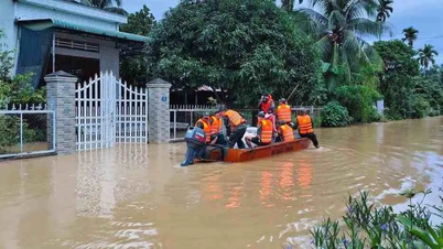
People need to be on guard against the possibility of heavy rain combined with floods causing inundation and landslides on river and stream banks in the above wards and communes.
Source: https://www.sggp.org.vn/muc-nuoc-tren-he-thong-song-dong-nai-dang-ha-thap-dan-post825175.html


![[Photo] Next to the "mountain of trash" after the flood, Tuy Hoa residents strive to rebuild their lives](/_next/image?url=https%3A%2F%2Fvphoto.vietnam.vn%2Fthumb%2F1200x675%2Fvietnam%2Fresource%2FIMAGE%2F2025%2F11%2F24%2F1763951389752_image-1-jpg.webp&w=3840&q=75)


![[Photo] General Secretary To Lam attends the National Conference to review the Party's inspection, supervision and discipline enforcement work in 2025 and the 13th Congress term](https://vphoto.vietnam.vn/thumb/402x226/vietnam/resource/IMAGE/2025/11/24/1763967570884_anh-man-hinh-2025-11-24-luc-13-59-19.png)


Comment (0)