

National Assembly Chairman Vuong Dinh Hue and Lao National Assembly Chairman Saysomphone Phomvihan
The border between Vietnam and Laos is about 2,340 km long, stretching across 10 provinces of Vietnam: Dien Bien , Son La , Thanh Hoa , Nghe An , Ha Tinh, Quang Binh, Quang Tri , Thua Thien Hue , Quang Nam and Kon Tum ; bordering 10 provinces in Laos: Phongsali , Louangphabang , Huaphanh , Xiengkhuang , Borikhamxay , Khammuane , Savannakhet , Salavan , Sekong and Attapeu . The boundary line in the area of three villages Na-luong, Na-un, Na-son from the point with coordinates 20053'38 " - 103007'18" (Marker C-5) to the point with coordinates 20049'58"2 - 103014'24"2 (Marker C-7) shown on three 1:25,000 scale diagrams numbered 5650 IV-A, 5650 IV-B, 5650 IV-D of section C (corresponding to coordinates 23G21'83" - 111G97'27" and coordinates 23G15'04" - 112G10'44" on the 1:100,000 scale map calculated according to the Sop Cop 45-W, No. 9) between Lai Chau province (Vietnam) and Luong Pha Bang province. (Laos) has been revised as follows: From the headwaters of Ta La stream and Lao Thao stream, coordinates 20053'38"5 - 103007'8"0, the border line follows the mountain ridge in a North-Northeast direction to the mountain ridge in a coordinates 20054'27"5 - 103007'58"3; turns Southeast along the mountain ridge down to the junction of Ta La stream - Chen stream, coordinates 20054'19"2 - 103008'08"1. From there, the border line turns East along Chen stream to the junction of Chen stream - Hua stream, coordinates 20054'12"5 - 103009'38"0; then turns Northeast along Hua stream to the junction of Hua stream - unnamed stream, coordinates 20054'51"7 - 103010'14"5; general direction Southeast upstream of unnamed stream to mountain top coordinates 20054'01"8 - 103011'33"0; general direction East Southeast along the mountain ridge through mountain top coordinates 20054'14"9 - 103012'08"2, high point 1288 to saddle next to trail coordinates 20053'50"2 - 103013'06"6; general direction Southeast along the mountain ridge through coordinates 20053'18"5 - 103013'02"2 high point 1447 to mountain top coordinates 20052'19"3 - 103014'21"8; general direction south along the mountain ridge through the mountain peak coordinates 20050'27"8 - 103013'54"1, high point 1472 to the point on the mountain ridge at the source of Hua stream and Vai stream coordinates 20049'58"2 - 103014'24"2. The border line in the Na-cay, Na-hoi area from the mountain peak coordinates 20053'57"3 - 103055'20"3 to the mountain peak coordinates 20053'37"4 - 103056'52"7 shown on the 1:25,000 scale diagram number 5750 IB of section D (corresponding to coordinates 23G22'40" - 112G86'20" and coordinates 23G21'62" - 112G88'95" on the 1:100,000 scale map attached to the Muong Het 46-W Planning Agreement, No. 13) between Son La province (Vietnam) and Hua-phan province (Laos) has been amended as follows: From the mountain peak coordinates 20053'57"3 - 103056'52"7 103055'20"3, the border line follows the mountain ridge in a general direction to the East through the mountain peak at coordinates 20053'37"1 - 103056'53"5, the saddle of Co Mun pass next to the trail at coordinates 20054'05"2 - 103056'19"2, the high point 855 to the mountain peak at coordinates 20053'37"4 - 103056'52"7. The border line of Phu Ta Me area from the point with coordinates 20055'33"0- 104017'12"2 to the mountain peak with coordinates 20055'22"5 - 104017'46"0 shown on the 1:25,000 scale map number 5850 IA of section E (corresponding to coordinates 23G25'36" - 113G26'52" and coordinates 23G24'75" - 113G27'66" on the 1:100,000 scale map attached to the Muong Het 46-E planning agreement, number 14) between Son La province (Vietnam) and Hua Phan province (Laos) has been amended as "From the point with coordinates 20055'33"0 - 104017'12"2, the line The border is in a general direction of East Southeast following the mountain ridge through the mountain top at coordinates 20055'34"5 - 104017'15"0, the mountain peak at coordinates 20055'26"8 - 104017'32"3 to the mountain peak at coordinates 20055'22"5 - 104017'46"0." : The border in the Na Ham area from Phu Xa Vit peak coordinates 20025'11"4 - 104042'23"2 to the mountain peak coordinates 20021'41"2 - 104037'22"8 shown on 4 pieces of 1:25,000 scale diagrams numbered 5949 IV-A, 5949 IV-B, 5949 IV-C, 5949 IV-D of section G (corresponding to coordinates 23G68'95" - 113G73'37" and coordinates 22G62'67" - 113G64'23" on the 1:100,000 scale map attached to Hoi Xuan 59-W, No. 16) between Thanh Hoa province (Vietnam) and Hua Phan province (Laos) has been amended as follows: "From Phu Xa Vit mountain top at coordinates 2002'11"4 - 104043'28"2, the border line follows the unnamed stream to Khiet stream at coordinates 20020'24"1 - 104043'26"2; turns South Southwest up the mountain ridge to the mountain peak at coordinates 20023'53"2 - 104043'08"0; turns generally West along the mountain ridge to the mountain peak at coordinates 20024'09"2 - 104041'20"3; turns generally Southwest along the mountain ridge down to Khua stream at coordinates 20024'02"5 - 104041'19"0, goes up the mountain ridge and then down again to meet the junction of Xia Top stream - Pa Khom stream at coordinates 20023'24"5 - 104040'44"8, upstream Pa Khom stream to coordinate point 20023'00"9 - 104039'56"3, then continue following the mountain ridge through coordinate point 20022'39"7 - 104039'04"4, down to cut a small slot at coordinate 20022'31"3 - 104039'10"7, up along the mountain ridge then down to cut Son stream at coordinate 20022'05"1 - 104038'10"8, then up along the mountain ridge to the mountain top at coordinate 20021'41"2 - 104037'22"8." The border line in the Vang Ang Nguoc area from the top of the mountain with coordinates 20010'08"8 - 104049'27"9 to the mountain peak with coordinates 20008'39"5 - 104052'47"5 shown on two 1:25,000 scale map pieces numbered 5949 II-A, 5949 II-B of section II (corresponding to coordinates 22G41'08" - 113G86'52" and coordinates 22G38'29" - 113G92'38" measured on two 1:10,000 scale map pieces attached to the Sam Teu 70-E Planning Agreement, No. 19) between Thanh Hoa province (Vietnam) and Hua Phan province (Laos) has been amended as follows: "From the top of the mountain with coordinates 20010'08"8 - 104049'27"9 border line follows the mountain ridge in a general direction to the Southeast through the saddle at coordinates 20009'37"3 - 104049'36"5, the mountain peak at coordinates 20009'18"6 - 104050'21"8 down to meet the stream of Ang Nguoc Top at coordinates 20008'54"5 - 104050'42"9, then down the stream of Ang Nguoc Top to meet Nam Niem at coordinates 20008'44"3 - 104051'30"9, then down the stream of Nam Niem to the intersection of Nam Niem - Ang Nguoc Noi stream at coordinates 20008'45"3 - 104051'32"7 upstream of Ang Nguoc Noi stream to the mountain peak at coordinates 20008'30"0 - 104052'07"2, turn general direction East Northeast along the mountain ridge to the mountain peak coordinates 20008'39"5 - 104052'47"5."
Kim Oanh
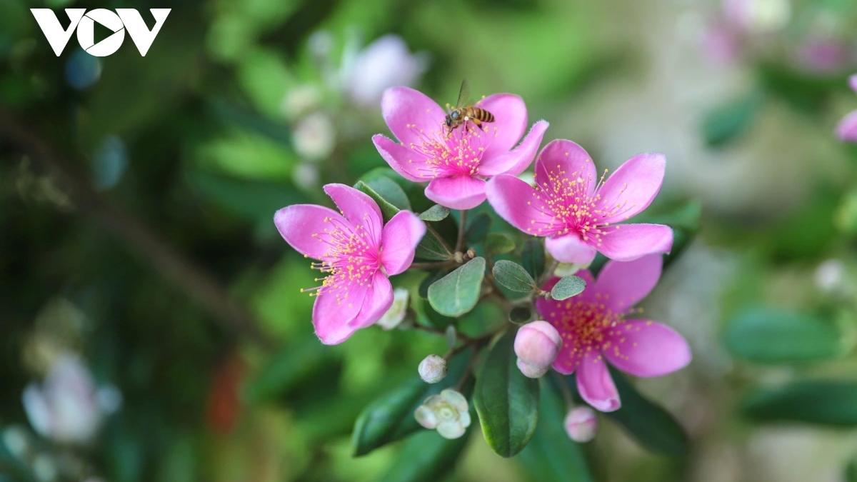
![[Photo] Coming to Son La, let's "show off" with the Wallflowers](https://vphoto.vietnam.vn/thumb/1200x675/vietnam/resource/IMAGE/2025/5/21/627a654c41fc4e1a95f3e1c353d0426d)


Comment (0)