Lesson 6: Four famous passes of Vietnam
There are hundreds of large and small passes in our country. Among them, according to the online community, there are 4 "huge" passes that are ranked among the "four great famous passes", which are: O Quy Ho, Pha Din, Ma Pi Leng and Khau Pha. I have traveled through all of the above passes and hundreds of other large and small passes. And I would like to add 2 names to the "great famous passes": Vi O Lac and Hai Van.
Pass on the "roof"
A pass that wants to be considered "huge" must often have all the following factors: length, height, level of danger, beautiful scenery, associated with a relic or famous place,...
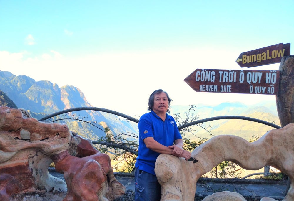
O Quy Ho Pass on National Highway 4D, bordering Lao Cai and Lai Chau provinces, has all of the above elements. Hoang Lien Son mountain range with Fansipan peak is considered the “roof” of Indochina (highest in Indochina). Therefore, O Quy Ho Pass can be considered the “rooftop pass”.
With an altitude of about 2,000m above sea level and a length of more than 50km, cutting across Hoang Lien Son mountain range, winding slopes, majestic mountain scenery with clouds all year round..., O Quy Ho pass is chosen by many people as the "first famous pass" of Vietnam.
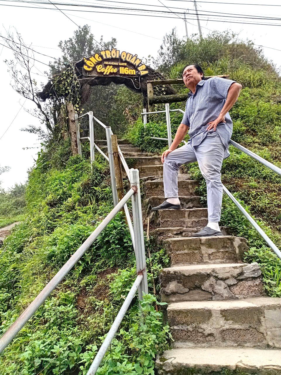
The pass is also called Heaven's Gate (because it is so high, reaching up to the sky) or Cloud Pass (because the top of the pass is covered in clouds all year round).
On the top of O Quy Ho pass
O Quy Ho Pass is named after O Quy Ho village located next to National Highway 4D. Legend has it that in the past, in this mountainous area, there was a bird with a mournful cry “o... quy... ho”, a mournful cry about the failed love story of a young couple.
Over time, the bird's call "o quy ho" has become the name of this pass. Today, at the top of the pass there is a rest stop, including a bungalow and a lovely small park, where anyone passing by stops to check in.
Standing on the top of O Quy Ho pass, looking at Fansipan peak from afar is very beautiful and majestic, especially when there are white clouds surrounding the mountain top.
Pha Din Slope, she carries the load, he carries the load
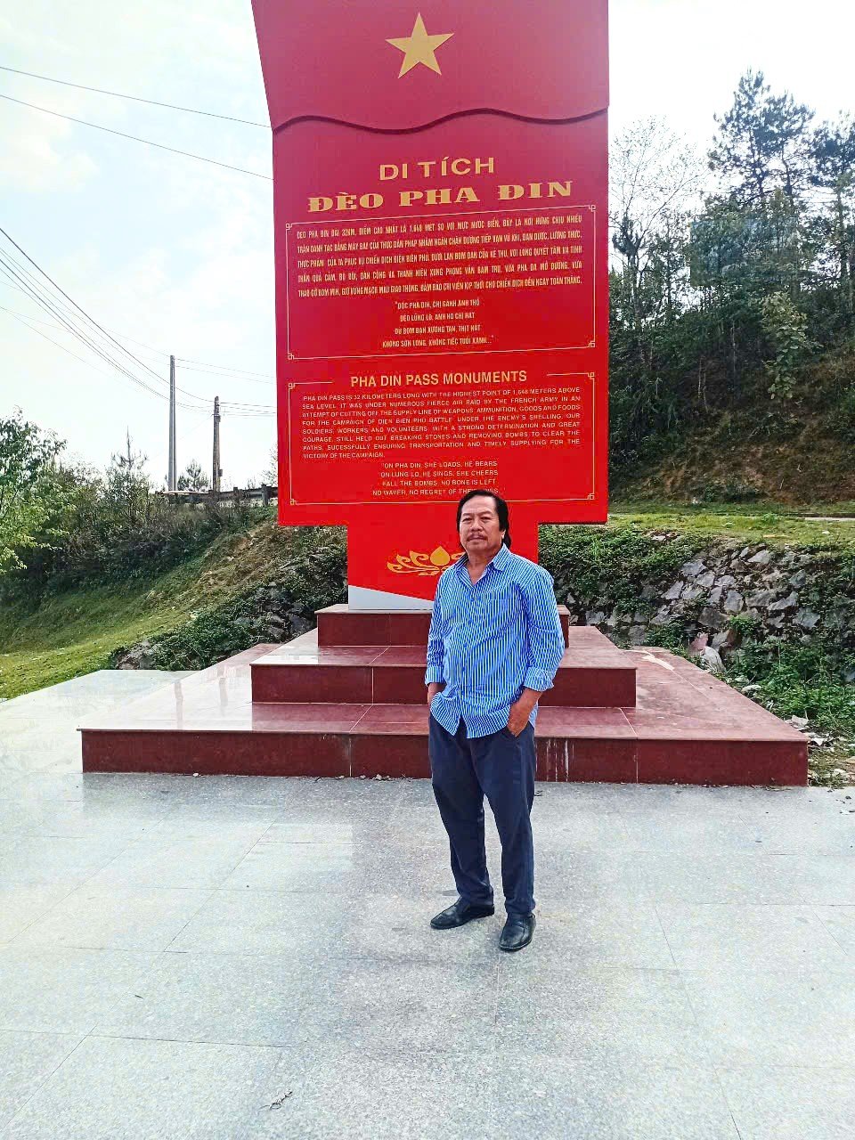
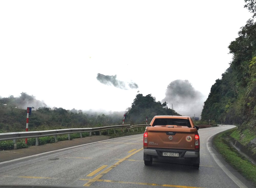
Pha Din Pass is located on the border of Son La and Dien Bien provinces, 44km long, the peak of the pass is 1,648m above sea level. The pass is very dangerous with a cliff on one side and a deep abyss on the other.
From afar, the 8-turn pass looks like a giant rope connecting the mountains. Pha Din Pass is located on the vital route from the rear to the battlefield during the Dien Bien Phu Campaign more than 70 years ago. Most of the forces, combat vehicles, logistics,... for the army passed through Pha Din Pass .
On the slopes of the pass, the sound of artillery pulling chants echoed; groups of bicycle porters and porters carried loads over the top of the pass... "Pha Din slope, women carry loads, men carry/ Lung Lo pass, men sing and women sing" (Hooray for the Dien Bien soldiers - To Huu).
Pha Din Pass Peak
Lung Lo Pass when placed next to “Pha Din slope” sounds big because “pass” is always longer and higher than “slope” but in fact Lung Lo Pass located on National Highway 37 between Yen Bai and Son La provinces is only 15km long.
During the resistance war against French colonialism, we opened Highway 13A, more than 120km long, with terrain mainly consisting of high mountains and deep ravines, passing through three major rivers: Chay River, Red River and Da River, from Tuyen Quang province through Lung Lo pass to serve the Dien Bien Phu Campaign.
Ma Pi Leng or Khau Pha?
In terms of length and height, Khau Pha Pass (Yen Bai province, on the way from Yen Bai city to Mu Cang Chai district) "beats" Ma Pi Leng Pass (Ha Giang province, on the way from Ha Giang city to Lung Cu flagpole).
Khau Pha Pass is more than 30km long, 1,500m high, crossing Khau Pha mountain peak, Mu Cang Chai district. Ma Pi Leng Pass is only about 20km long, only about 1,200m high.
However, among the "four great passes", the online community often ranks Ma Pi Leng above Khau Pha because of other factors: The level of danger, associated with the famous destination of Lung Cu Flagpole .
On Ma Pi Leng Pass
The name Ma Pi Leng in the local ethnic language means "horse's nose", indicating that this is one of the "death" mountain passes of the Northern mountainous region because of its dangerous curves.
Ma Pi Leng with its soft beauty, the road curving and winding around the mountain, always fascinates backpackers. Traveling on Ma Pi Leng Pass, in just a few hours, I had to give way to nearly 50 groups of motorbikes, each group had a few dozen motorbikes carrying couples, some Vietnamese, some Westerners, after a while, they stopped in a spacious place to check-in.
Khau Pha Pass is not as dangerous, it looks like a high “horn of heaven”. Passing the pass, visitors will have the opportunity to hunt for photos of Mu Cang Chai terraced rice fields, each season has its own beauty.
During the trip, I had the opportunity to cross many passes in the Northern mountainous region, which were more dangerous than the above "famous passes": Deo Gio (Bac Kan), Pass Khau Lieu (Cao Bang), Pass Me Pia (Cao Bang),... But unfortunately, these passes were not long enough and high enough, and were not located in "spiritual" places that many people were interested in visiting.
Hai Van Pass, why not?
Hai Van Pass is also called Ai Van Pass because there used to be a gate on the top of the pass, or May Pass because the top of the pass is often covered with clouds, cutting across the Bach Ma mountain range - a part of the Truong Son range running out to the sea, located on National Highway 1, the natural boundary between Hue City and Da Nang City. As mentioned, among the "great passes" of Vietnam, there is no name Hai Van Pass, simply because Hai Van Pass is too low (500m) and not too long (about 20km).
However, Hai Van Pass has the special advantage of running along the East Sea, and is considered one of the most beautiful coastal passes in the world.
Standing on the pass, visitors can clearly see Da Nang City, Tien Sa Port , Son Tra Peninsula, Cham Island,... and long stretches of golden sand embracing the clear blue sea.
Hai Van Pass is also associated with the process of opening up the country and the struggle for national liberation, entering poetry, music and painting. “Traveling along Vietnam following the spinning train wheels/ Passing Hai Van Pass, clouds float on the mountain top” (lyrics of the song My Train Passing the Mountain).
With such a special beautiful landscape, although since 2005 there has been a road tunnel through Hai Van Pass, facilitating travel, Hai Van Pass is still bustling with tourists coming to admire it.
Vi O Lac - the forgotten "famous pass"
There is a road about 200km long connecting the coastal city of Quang Ngai with the highland city of Kon Tum, on that road there is a 50km long pass called Vi O Lak, named after the village of Vi O Lak located near the pass. Vi O Lak pass starts from Thach Tru intersection, Ba To district, Quang Ngai province and ends at Kon Plong district, Kon Tum province.
This 1,300m high pass is not only considered the boundary between Quang Ngai and Kon Tum but also the dividing point between the Eastern Truong Son and Western Truong Son. Even the road in Quang Ngai province is named “Eastern Truong Son Road” recalling the famous Truong Son road during the war.
Vi O Lac Pass attracts many backpackers because the road up the pass is very beautiful, the higher the scenery becomes more majestic and attractive, the winding road with steep cliffs. In many sections, both sides of the road are green rice fields, passing through green hills and rivers at the foot of the mountain. Vi O Lac Pass also brings tourists from the central coastal region to visit the famous Mang Den tourist area .
Vi O Lac Pass
Vi O Lac Pass is as long as the "first famous pass" O Quy Ho, longer than all the other "great passes"; higher than Ma Pi Leng Pass. In my opinion, Vi O Lac Pass is only less dangerous than Ma Pi Leng Pass; only less beautiful than Hai Van Pass, more beautiful than all the other passes...
Perhaps because the road through Vi O Lac Pass has only recently been opened, the pass is not yet known to many people. But I believe that, with the advantages just mentioned, the name Vi O Lac will soon be included in the group of "famous passes" in Vietnam!/.
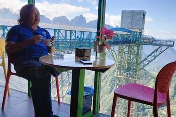 | Sunlight streak across Vietnam: Lao Cai - Lai Chau - Dien Bien - Son La (Part 5) If we imagine the North of our country as an open hand, the "thumb" area includes 4 mountainous provinces: Lao Cai, Lai Chau, Dien Bien and Son La. |
(to be continued)
Nguyen Phan Dau
Last post: Following the Ho Chi Minh trail from
Source: https://baolongan.vn/vet-nang-xuyen-viet-tu-dai-danh-deo-dat-viet-bai-6--a195488.html



![[Photo] Special flag-raising ceremony to celebrate the 135th birthday of President Ho Chi Minh](https://vphoto.vietnam.vn/thumb/1200x675/vietnam/resource/IMAGE/2025/5/19/1c5ec80249cc4ef3a5226e366e7e58f1)
![[Photo] Party and State leaders visit President Ho Chi Minh's Mausoleum](https://vphoto.vietnam.vn/thumb/1200x675/vietnam/resource/IMAGE/2025/5/19/d7e02f242af84752902b22a7208674ac)
![[Photo] Party and State leaders attend the special art program "You are Ho Chi Minh"](https://vphoto.vietnam.vn/thumb/1200x675/vietnam/resource/IMAGE/2025/5/18/6895913f94fd4c51aa4564ab14c3f250)





















Comment (0)