
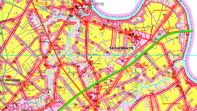
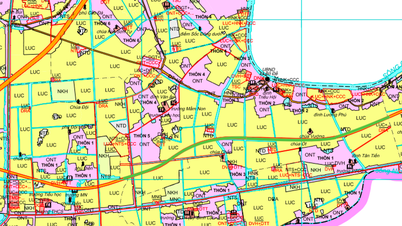
According to the adjusted land use planning map to 2030 of Ý Yên district, Nam Định province, this locality will deploy a number of new routes to complete the traffic network and promote socio-economic development. These projects focus on enhancing the connection between residential areas and key roads such as expressways and national highways.
Details of key routes to be opened
Based on planning documents, three notable routes will be formed in the coming time, contributing to changing the face of the area's traffic infrastructure.
1. Highway 01 intersection route
This route starts at Highway 01, near Ngo Xa 1 residential area, and ends near Yen Bang Secondary School. The formation of this route is expected to create a new connection point, helping local people move more conveniently and reduce the load on existing routes.
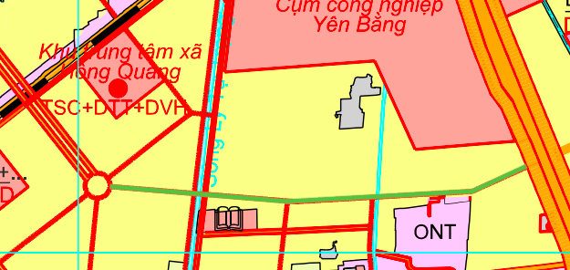
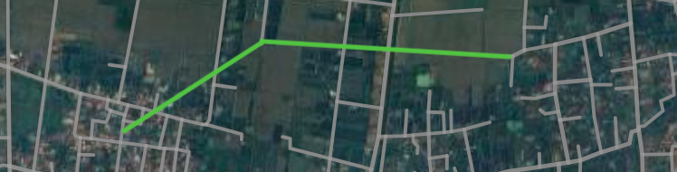
2. Road connecting Nhat Doai residential area and Ngo Xa 1
This is an important internal route, planned to directly connect the two residential areas of Nhat Doai and Ngo Xa 1. Once completed, the route will shorten the travel distance, creating favorable conditions for trade and daily life of people in the area.
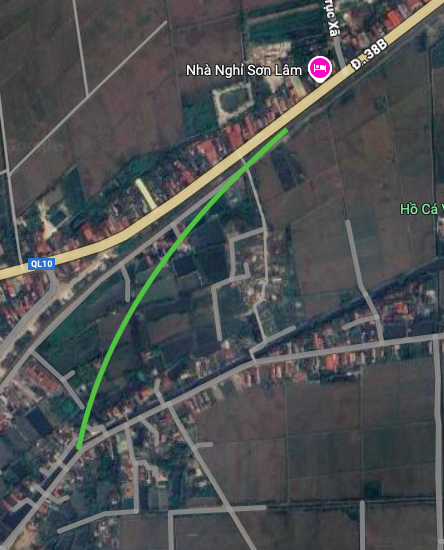
3. Axis connecting Yen Bang commune road and National Highway 38B
The third route starts at Yen Bang commune road (near Hung Thinh residential area) and ends at National Highway 38B, near Truc Xa road. This project plays the role of an important traffic axis, connecting the commune road network with the national highway system, thereby improving inter-regional connectivity.
Legal basis and importance of planning
All of the above routes are included in the land use planning adjustment map until 2030 of Ý Yên district, Nam Định province. The announcement and implementation of this planning is an important legal basis for the locality to manage land, attract investment and develop infrastructure in a synchronous and sustainable manner.
Note: The route diagrams in the article are for reference only, based on the planning map. The actual route and implementation time may change according to the decision of the competent authority.
Source: https://baolamdong.vn/quy-huach-giao-thong-huyen-y-yen-3-tuyen-duong-moi-sap-mo-399032.html
![[Photo] General Secretary To Lam attends the Vietnam-UK High-Level Economic Conference](https://vphoto.vietnam.vn/thumb/1200x675/vietnam/resource/IMAGE/2025/10/30/1761825773922_anh-1-3371-jpg.webp)

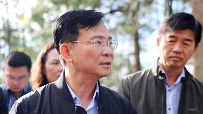
![[Photo] Prime Minister Pham Minh Chinh attends the 5th National Press Awards Ceremony on preventing and combating corruption, waste and negativity](https://vphoto.vietnam.vn/thumb/1200x675/vietnam/resource/IMAGE/2025/10/31/1761881588160_dsc-8359-jpg.webp)

![[Photo] The Third Patriotic Emulation Congress of the Central Internal Affairs Commission](https://vphoto.vietnam.vn/thumb/1200x675/vietnam/resource/IMAGE/2025/10/30/1761831176178_dh-thi-dua-yeu-nuoc-5076-2710-jpg.webp)


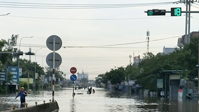

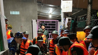

![[Photo] Touching scene of thousands of people saving the embankment from the raging water](https://vphoto.vietnam.vn/thumb/1200x675/vietnam/resource/IMAGE/2025/10/30/1761825173837_ndo_br_ho-de-3-jpg.webp)


Comment (0)