
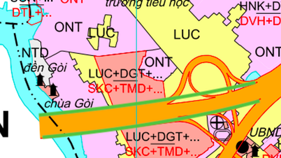
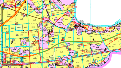
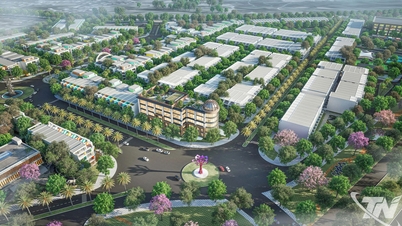
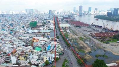
Overview of infrastructure planning of Tam Vu commune
According to the land use planning adjustment map to 2030 of Chau Thanh district, Long An province, Tam Vu commune will have important changes in traffic infrastructure. The implementation of new routes is expected to strengthen inter-regional connectivity and promote local socio-economic development.
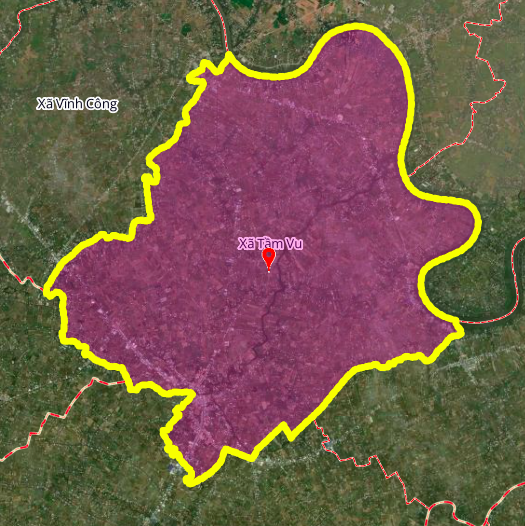
Tam Vu commune has a strategic location, bordering Vinh Cong and Tan Tru communes to the north; Vam Co and Thuan My communes to the east; Thuan My and An Luc Long communes to the south; My Tinh An and Vinh Cong communes to the west. The new traffic planning will focus on forming arterial roads, connecting areas within the commune and with neighboring localities.
Key routes will be deployed
Based on planning documents, three notable routes will be built in the coming time, contributing to completing the traffic network of Tam Vu commune.
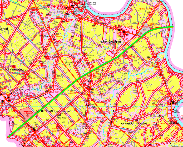
1. Provincial Road 827E
This is one of the most important infrastructure projects in the area. This route is planned to cross Provincial Roads 827B, 827D and 827. According to the diagram, one end of the route will cross the Vam Co Tay River near Tan Chau Pagoda, and the other end will connect near Binh Cach Bridge. When completed, Provincial Road 827E will create a new traffic axis, reducing the load on existing routes and enhancing the connectivity of Tam Vu commune with other economic centers in the province.
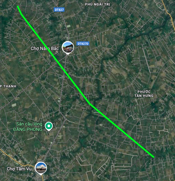
2. Provincial Road 827K
Provincial Road 827K is planned to intersect with Provincial Road 827 and Provincial Road 827D. The location of this route has one end near Vinh Hung Pagoda and the other end near Phu Loc Bridge. The construction of Provincial Road 827K will help to streamline traffic more effectively, especially connecting residential areas and agricultural production areas in the commune.
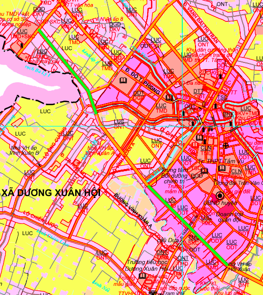
3. Route connecting Ba Ly canal 3
In addition to provincial roads, the planning also includes an important internal route passing through Ba Ly 3 canal. This route starts at Provincial Road 827D (near Binh Cach bridge) and ends at Tran Van Giau street. This road plays a role in connecting existing residential areas, creating favorable conditions for local people to travel and transport goods.
Impact and notes from planning
The development of planned routes is expected to create leverage for the real estate market and attract investment in Tam Vu commune as well as Chau Thanh district. Synchronous transport infrastructure will shorten travel time, promote trade and improve the quality of life for people.
Important note: The planning information is based on the "Map of land use planning adjustment to 2030 of Chau Thanh district, Long An province". The planning may be adjusted in the future. People and investors need to contact the competent state agencies directly to be provided with the most accurate and updated information before making related transactions.
Source: https://baolamdong.vn/quy-hoach-giao-thong-xa-tam-vu-long-an-den-nam-2030-398454.html
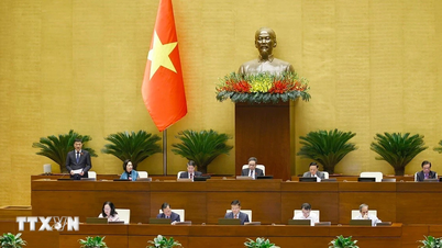
![[Photo] National Assembly Chairman Tran Thanh Man received a delegation of the Social Democratic Party of Germany](https://vphoto.vietnam.vn/thumb/1200x675/vietnam/resource/IMAGE/2025/10/28/1761652150406_ndo_br_cover-3345-jpg.webp)


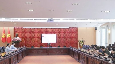
![[Photo] Prime Minister Pham Minh Chinh chaired a meeting to discuss solutions to overcome the consequences of floods in the central provinces.](https://vphoto.vietnam.vn/thumb/1200x675/vietnam/resource/IMAGE/2025/10/29/1761716305524_dsc-7735-jpg.webp)

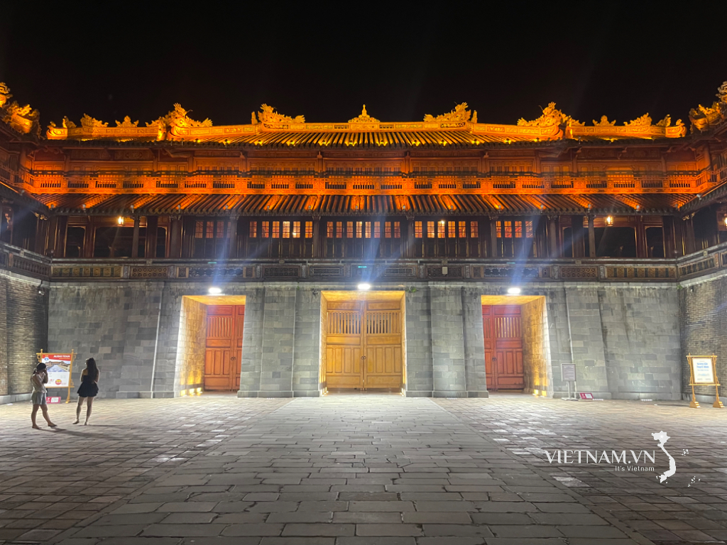
![[Photo] Flooding on the right side of the gate, entrance to Hue Citadel](https://vphoto.vietnam.vn/thumb/1200x675/vietnam/resource/IMAGE/2025/10/28/1761660788143_ndo_br_gen-h-z7165069467254-74c71c36d0cb396744b678cec80552f0-2-jpg.webp)


![[Photo] Draft documents of the 14th Party Congress reach people at the Commune Cultural Post Offices](https://vphoto.vietnam.vn/thumb/1200x675/vietnam/resource/IMAGE/2025/10/28/1761642182616_du-thao-tai-tinh-hung-yen-4070-5235-jpg.webp)


Comment (0)