
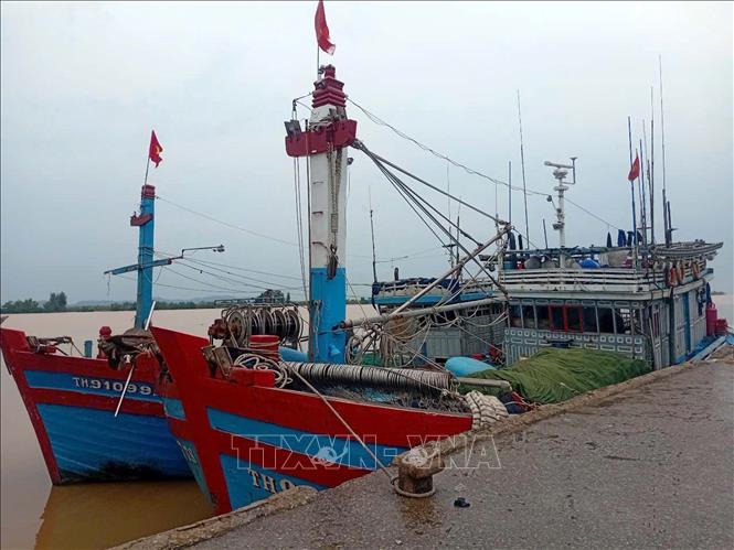
Accordingly, the Thanh Hoa Provincial Civil Defense Command requested sectors, units, People's Committees of coastal communes and wards; People's Committees of communes and wards with ships and boats operating at sea to closely monitor warning bulletins, forecasts and developments of the storm. From there, notify captains and owners of vehicles and boats operating at sea to proactively prevent and have appropriate production plans, ensure safety of people and property, as well as maintain communication to promptly handle bad situations that may occur. Localities, units, departments and sectors are ready with forces and means to deploy rescue work when situations arise.
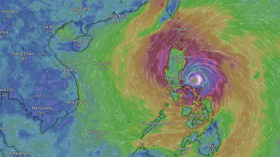
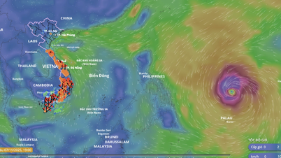
According to the National Center for Hydro-Meteorological Forecasting, a storm is currently active in the sea east of the central Philippines, with the international name Fung-wong. At 7:00 a.m. on November 9, the center of the storm was at about 14.3 degrees North latitude; 124.9 degrees East longitude, in the sea east of the central Philippines. The strongest wind near the center of the storm is level 15 (167-183 km/h), gusting to level 17. Moving in the West Northwest direction, at a speed of about 30 km/h. The storm is forecast to strengthen and move into the sea east of the North East Sea in the coming days.
Warning: From November 10 to 12, the eastern sea area of the North East Sea is likely to be affected by strong storm winds of level 11-13, gusts of level 16, waves of 8-10 m high, and rough seas. All ships and boats operating in the above-mentioned dangerous areas are likely to be affected by storms, whirlwinds, strong winds, and large waves.
Source: https://baotintuc.vn/kinh-te/theo-doi-chat-che-tau-thuyen-dang-hoat-dong-tren-bien-truoc-bao-fungwong-20251109150743593.htm


![Dong Nai OCOP transition: [Part 2] Opening new distribution channel](https://vphoto.vietnam.vn/thumb/402x226/vietnam/resource/IMAGE/2025/11/09/1762655780766_4613-anh-1_20240803100041-nongnghiep-154608.jpeg)


Comment (0)