

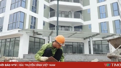
Illustration photo.
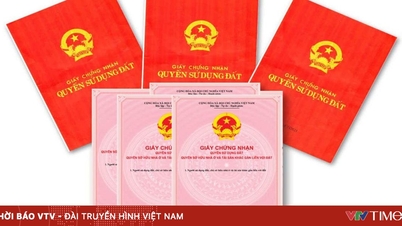
Mr. Nguyen Van Huynh's family ( Bac Ninh ) has 922 m2 of land. In the Land Use Right Certificate issued in 2002, the area is recorded as 900 m2, the purpose of use is T, plot number 23, map sheet number 31, but in the commune cadastral map, Mr. Huynh's land plot includes plot number 23 - 462 m2 (AO) and plot number 24 - 460 m2 (T).
Mr. Huynh asked, now he applies for a new Land Use Rights Certificate, how many square meters is the residential land area of his family determined to be?
The Ministry of Agriculture and Environment responded to this issue as follows:
The content of your reflection is a specific case under the jurisdiction of the locality and needs to be based on the archived records and specific regulations issued by the locality under its authority to implement the Land Law for consideration and resolution; therefore, the Ministry has no basis to respond. The Ministry would like to state some principles as follows:
According to the above reflection, the Certificate was issued in 2002, the expression of land use purpose and conventional symbols recorded in the land registry and the Land Use Right Certificate was carried out according to the provisions of Circular No. 1990/2001/TT-TCDC dated November 30, 2001 of the General Director of the General Department of Land Administration guiding land registration, establishing land records and issuing Land Use Right Certificates, accordingly, the residential land purpose is symbolized by the letter T.
The Ministry of Agriculture and Environment would like to inform you and contact the local competent authority for consideration and resolution in accordance with the provisions of law.
Source: https://vtv.vn/xac-dinh-dien-tich-dat-o-theo-giay-chung-nhan-hay-ban-do-dia-chinh-100251017153026086.htm


![[Photo] Collecting waste, sowing green seeds](https://vphoto.vietnam.vn/thumb/1200x675/vietnam/resource/IMAGE/2025/10/18/1760786475497_ndo_br_1-jpg.webp)
![[Photo] General Secretary To Lam attends the 95th Anniversary of the Party Central Office's Traditional Day](https://vphoto.vietnam.vn/thumb/1200x675/vietnam/resource/IMAGE/2025/10/18/1760784671836_a1-bnd-4476-1940-jpg.webp)


Comment (0)