
At 11:00 AM this morning, the storm maintained its intensity at level 15 (167-183 km/h), with gusts exceeding level 17, and was moving rapidly towards Quy Nhon ( Gia Lai ). The current wind speed suggests that Typhoon No. 13, upon landfall, could be even stronger than Typhoon Damrey in 2017 and Typhoon Molave in 2020.
The forecast indicates the most dangerous period for strong winds and storms will be from approximately 8 PM on November 6th to 8 AM on November 7th. These winds are capable of sinking boats, collapsing single-story houses, uprooting large trees, and shattering tempered glass windows.
Due to the influence of Typhoon No. 13, as of 10:00 AM this morning, Ly Son Island (Quang Ngai) recorded strong winds of level 6, gusting to level 7; Dung Quat (Quang Ngai) recorded strong winds of level 6, gusting to level 8; and Phu Cat (Gia Lai) recorded strong winds of level 6, gusting to level 10. It should be noted that the wide circulation of the typhoon's cloud system may cause thunderstorms, tornadoes, and strong gusts of wind in the mainland both before and during the typhoon's landfall.

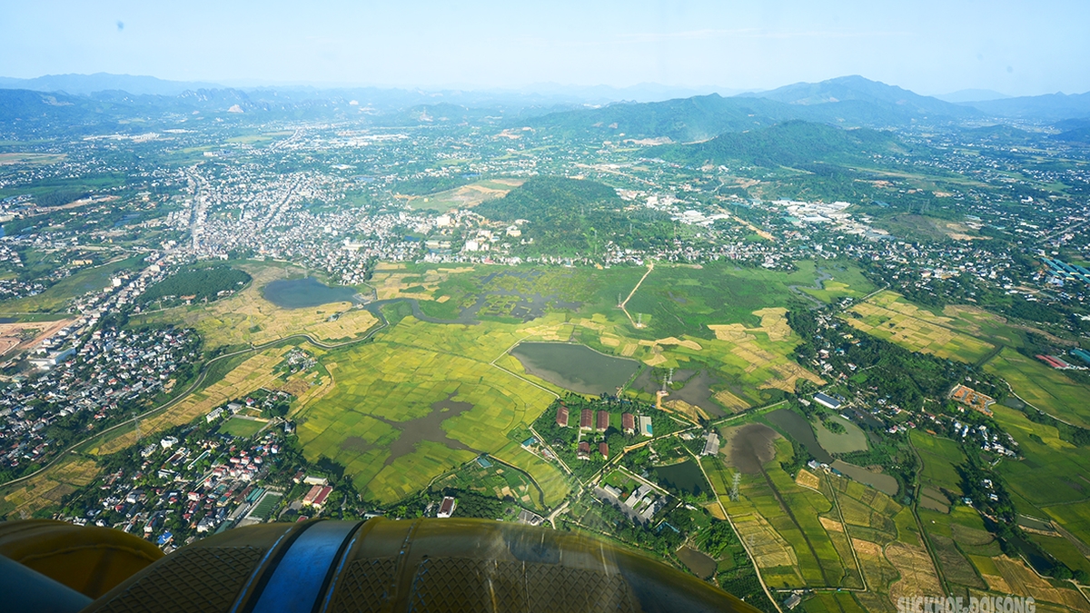
At noon on November 6th, Typhoon No. 13 approached the sea area from Quang Ngai to Dak Lak with wind speeds of level 15, gusting to level 17. Photo: Vietnam Disaster Monitoring System.
Starting this afternoon, the sea area from southern Quang Tri to Khanh Hoa (including Ly Son special zone and Cu Lao Cham island) will experience increasingly strong winds, reaching levels 7-8, then increasing to levels 9-12, with waves 4-7 meters high. Near the center of the storm, winds will be strong at levels 13-15, gusting above level 17, with waves 8-10 meters high; the sea will be extremely rough.
The coastal area from southern Quang Tri to Dak Lak experienced storm surges of 0.5-1m. Specifically, the highest sea levels were recorded at Thuan An (1m), Son Tra (1.2m), Hoi An (1.3m), Dung Quat (1.5m), Quy Nhon (1.2m), and Tuy Hoa (1.1m).
Rising water levels accompanied by large waves caused flooding in low-lying areas, breached dikes and coastal roads, caused coastal erosion, and slowed flood drainage in the region. All ships, boats, and aquaculture farms in the aforementioned hazardous areas were severely affected by thunderstorms, tornadoes, strong winds, large waves, and rising sea levels.
Winds over land will gradually strengthen from this afternoon. In the area from southern Da Nang to Dak Lak, winds will gradually increase to level 6-7, then to level 8-9, and in the area near the center of the storm, winds will be strong at level 10-13 (the focus being the eastern parts of Quang Ngai and Gia Lai provinces, and the northern part of Dak Lak province), with gusts up to level 15-16.
In the area from southern Quang Tri to the north of Da Nang city and the northern part of Khanh Hoa province, winds will strengthen to level 6-7, with gusts up to level 8-9.
From the evening of November 6th, the western provinces from Quang Ngai to Gia Lai experienced increasingly strong winds, reaching levels 6-7, with winds near the storm's center reaching levels 8-9, and gusts up to level 11.
In particular, heavy rain occurred from the evening of November 6th to the end of November 7th. The area from Da Nang City to Dak Lak experienced very heavy rain with rainfall amounts generally ranging from 200-400mm per event, and in some localized areas exceeding 600mm per event.
The area from southern Quang Tri to Hue City, Khanh Hoa and Lam Dong experienced heavy rain with rainfall amounts generally ranging from 150-300mm per event, with some areas experiencing very heavy rain exceeding 450mm per event. From November 8th, the heavy rain in the aforementioned areas is expected to decrease.
From November 7-8, the area from northern Quang Tri to Thanh Hoa will experience moderate to heavy rain with rainfall amounts generally ranging from 50-150mm per period, and locally very heavy rain exceeding 200mm per period. A warning is issued regarding the risk of heavy rainfall (>200mm/3h).
Source: https://nongnghiepmoitruong.vn/bao-vao-dat-lien-van-co-the-manh-cap-11-13-giat-cap-17-d782672.html
![[Photo] Ba Lang An Lighthouse - the "eye of the sea" amidst the "rock museum" of Quang Ngai province.](https://vphoto.vietnam.vn/thumb/1200x675/vietnam/resource/IMAGE/2026/05/29/1780038698840_anh-man-hinh-2026-05-29-luc-14-10-42.png)


![[Image] Pleasant weather helps students enter the 10th grade entrance exam with confidence.](https://vphoto.vietnam.vn/thumb/1200x675/vietnam/resource/IMAGE/2026/05/29/1780034401612_ngay-1-thi-lop-10-minh-duy-8-5009-jpg.webp)


Comment (0)