
 on August 1.")
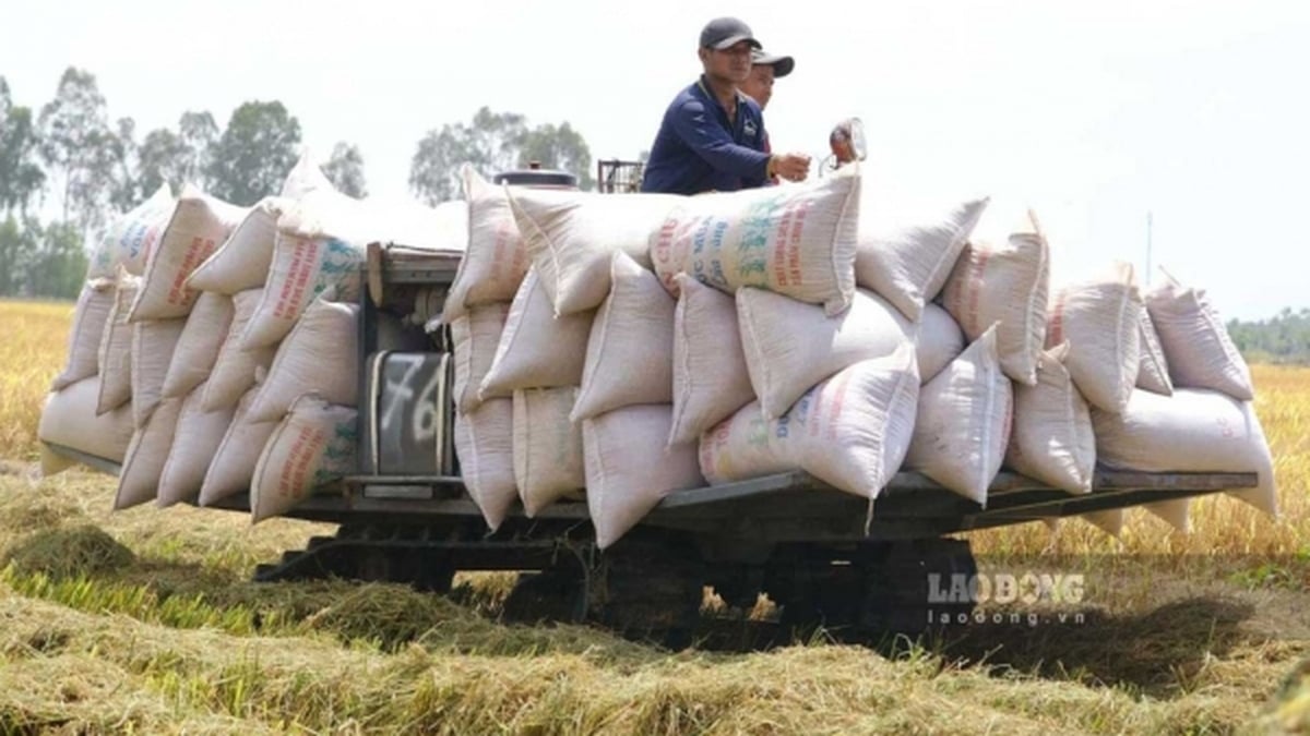
According to the Ministry of Agriculture and Environment , landslides and flash floods are becoming more and more serious due to climate change, especially in 2020, 2023, 2024, and 2025, causing great damage to people and property. Although there are many policies, there is still a lack of legal basis, data, warnings, and investment capital.
During the 2018-2024 period, the authorities have created risk maps in 22 provinces, built an early warning WebGIS system, trained nearly 2 million people, deployed warning projects in Son La province with JICA funding, and relocated nearly 22,000 households...
From 2025-2035, the project will focus on dealing with landslides and flash floods. In particular, in the 2026-2030 period, a risk map will be created for the entire mountainous region, with a detailed survey of 1,500 key areas.
In the 2031-2035 period, continue to investigate and build a real-time warning system, increase monitoring stations, evacuate people from dangerous areas, protect them with structures if they cannot be relocated, communicate on-site, plant native forests, build Sabo dam, anti-erosion embankments and warning stations.
The total capital for this project is 161,000 billion VND. The goal by 2030 is to complete the risk map and fully train the disaster prevention force.

By 2035, the warning system will be modernized, 95% of the station network will be automated, 100% of residents in affected areas will be educated on prevention skills, all high-risk areas that cannot be relocated will have evacuation and warning plans, and prevention infrastructure will be completed.
The project also sets out the goal of applying AI, Big Data, remote sensing, GIS, and drones. The tasks include investigating and zoning risk areas, increasing warning capacity, relocating residents, controlling construction, building prevention works, and protecting and developing protective forests.
The scope of implementation is in provinces and cities in the Northern and Central mountainous regions including: Dien Bien, Lai Chau, Son La, Lao Cai, Lang Son, Cao Bang, Tuyen Quang, Quang Ninh, Bac Ninh, Thai Nguyen, Phu Tho, Thanh Hoa, Nghe An, Ha Tinh, Quang Tri, Hue, Da Nang, Quang Ngai, Khanh Hoa, Lam Dong, Gia Lai, Dak Lak.
Source: https://www.sggp.org.vn/can-161000-ty-dong-phong-chong-sat-lo-lu-quet-tai-22-tinh-thanh-pho-post806948.html


![[Photo] Nghe An: Provincial Road 543D seriously eroded due to floods](https://vphoto.vietnam.vn/thumb/1200x675/vietnam/resource/IMAGE/2025/8/5/5759d3837c26428799f6d929fa274493)


Comment (0)