
 |
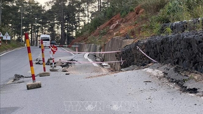
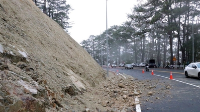
| Landslide at Km67+800 on National Highway 49 this morning (November 17). Photo: Duong Huy |
Due to the impact of the flood from November 16 to the morning of November 17, on National Highway 49 through the A Luoi area and the city's delta communes, there were 5 locations blocked by landslides and rocks spilling onto the road surface. Of these, 2 were quite large with a volume of about 2,000m3 of rocks and soil. Specifically, the location at Km76+300 was leveled and opened to traffic on the afternoon of November 16 and the location at Km67+800 had rocks and soil spilling onto the road surface, causing traffic disruption in the early morning of November 17, and the route has not been cleared yet.
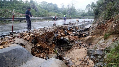
Meanwhile, on the Ho Chi Minh Highway West branch, there are currently 6 landslides with a volume of 1,050m3 and 6 flooded points from Km342+100-Km345+500 through the communes of A Luoi area. Immediately after the landslide, Hue City Road Management and Construction Joint Stock Company deployed forces to coordinate warnings, traffic diversions and mobilized human resources and machinery to clear the route at some locations. For the remaining locations, the company is monitoring and will deploy human resources and machinery to continue the repair work, ensuring traffic safety.
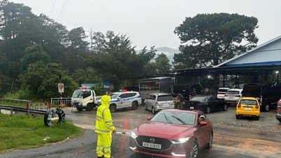
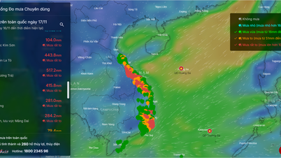
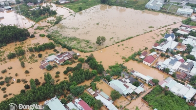
According to the Hue City Hydrometeorological Station, from early morning of November 17 to early morning of November 19, there was heavy rain in the city. Total rainfall in the plains was generally 150-300mm, in some places over 400mm; in mountainous areas 200-400mm, in some places over 500mm. Currently, localities in the A Luoi region are carrying out barricades to ensure traffic safety on flooded roads and evacuating people in deeply flooded, isolated areas and key areas at risk of landslides.
Source: https://huengaynay.vn/kinh-te/xay-dung-giao-thong/dam-bao-an-toan-giao-thong-cho-cac-tuyen-duong-sat-lo-160015.html


Comment (0)