
The Philippine National Weather Service said Typhoon Mawar was moving closer to the Philippines with sustained winds of 165 km/h near its center, gusting to over 205 km/h. It is expected to weaken gradually by May 30.
Several areas in the northern Philippines have received storm warnings, while some local residents have evacuated.
Despite weakening, Super Typhoon Mawar is forecast to bring heavy rains and strong winds to western parts of the Philippines, along with the potential to cause flooding and landslides.

Preparing relief goods ahead of super typhoon Mawar in Quezon City, Philippines on May 27. Photo: EPA
"Mawar's rainfall and wind strength in the Philippines will depend on how close the storm gets before it is expected to turn north toward Japan's Ryukyu Islands and east of Taiwan (China)," AccuWeather said.
Philippine authorities have ordered a suspension of sea voyages and warned small boats not to fish offshore.
A few days ago, Mawar caused widespread damage to the US island of Guam. It has strengthened into a super typhoon, equivalent to a Category 5 hurricane in the Atlantic Ocean, as it moves towards the Philippines.
The Guam Electric Power Authority said nearly the entire island of 52,000 homes and businesses were without power. There were no reports of fatalities, but Mawar caused extensive damage.
CNN quoted Governor Lou Leon Guerrero as saying that much of Guam was damaged. Many local residents had no electricity or clean water.
The super typhoon is currently moving north, then northeast, and is expected to impact Taiwan (China) and South Korea. Depending on regional weather conditions, Mawar may move west toward Taiwan or northwest toward Japan and may gradually weaken as it encounters cooler seas.
Weather experts confirmed to The Independent that Mawar's strength has surpassed any previous storm in 2022.
Source


![[Photo] Anh Hoang - Dinh Duc successfully defended the men's doubles championship of the National Table Tennis Championship of Nhan Dan Newspaper](https://vphoto.vietnam.vn/thumb/1200x675/vietnam/resource/IMAGE/2025/5/23/d6ab3bcac02c49928b38c729d795cac6)

![[Photo] Top players gather at the 2025 Nhan Dan Newspaper National Table Tennis Championship](https://vphoto.vietnam.vn/thumb/1200x675/vietnam/resource/IMAGE/2025/5/23/9ad5f6f4faf146b08335e5c446edb107)


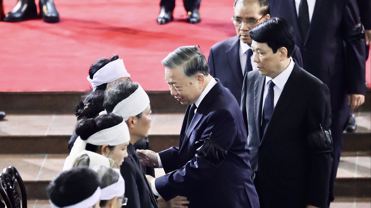
![[Photo] The Central Party Executive Committee delegation visits former President Tran Duc Luong](https://vphoto.vietnam.vn/thumb/402x226/vietnam/resource/IMAGE/2025/5/24/32f67673454445aab0f1f2af331cb170)


Comment (0)