
.jpg)
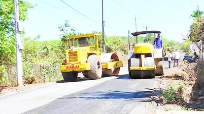
In a recent report to the Department of Agriculture and Environment, the Project Management Board said that the area of land to be recovered along the route is 604.9 hectares. The area of land to be recovered for resettlement areas is 208.84 hectares.
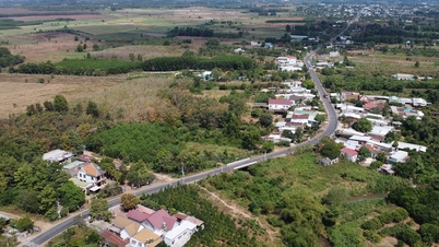
The high-speed railway route passes through 15 communes and wards including: Go Noi, Duy Xuyen, Xuan Phu, Que Son Trung, Thang Binh, Thang Phu, Thang Dien, Tay Ho, Chien Dan, Ban Thach, Huong Tra, Tam Xuan, Tam Anh, Nui Thanh, Tam My.
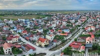
In addition to Tam Anh and Nui Thanh communes which already have resettlement areas, the remaining 13 communes and wards must build new resettlement areas. Of which, the largest area of land recovered to build resettlement areas to arrange accommodation for people is Tam My commune with 42.6 hectares; the smallest is Que Son Trung commune with 4 hectares.
It is known that on July 23, the City People's Committee issued a document on the implementation of compensation, support and resettlement for the high-speed railway project on the North-South axis through Da Nang .
Accordingly, the city assigned the Management Board of Investment Projects for Construction of Traffic and Agricultural Works in Da Nang to be the investor of the sub-project of compensation, support, and resettlement serving the project area from Thu Bon River to the North to the city boundary; the Management Board of Investment Projects for Construction of Traffic Works in Quang Nam to be the investor of the sub-project of compensation, support, and resettlement serving the project section from Thu Bon River to the South to the city boundary.
The city leaders assigned the Department of Agriculture and Environment to preside over and direct the City Land Registration Office to provide land plot data records according to project boundary records to the City Land Fund Development Center.
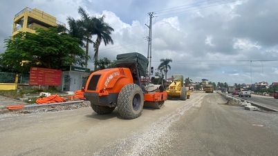
Review local material mines and propose and advise the City People's Committee to consider and give instructions to ensure the source of materials for project construction.
Source: https://baodanang.vn/du-an-duong-sat-toc-do-cao-bac-nam-dien-tich-dat-thu-hoi-tu-song-thu-bon-vao-phia-nam-la-813-74ha-3298883.html


![[Photo] Deep sea sand deposits, ancient wooden ship An Bang faces the risk of being buried again](https://vphoto.vietnam.vn/thumb/1200x675/vietnam/resource/IMAGE/2025/11/13/1763033175715_ndo_br_thuyen-1-jpg.webp)


![Dong Nai OCOP transition: [Article 3] Linking tourism with OCOP product consumption](https://vphoto.vietnam.vn/thumb/402x226/vietnam/resource/IMAGE/2025/11/10/1762739199309_1324-2740-7_n-162543_981.jpeg)


Comment (0)