

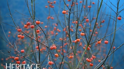
Located on the natural border between Sin Suoi Ho commune (Lai Chau province) and Muong Hum (formerly Bat Xat district, Lao Cai province), Vietnam, Ky Quan San (formerly known as Bach Moc Luong Tu) is a rugged mountain peak that has been explored by backpackers since 2012. 
This mountain, at 3,046m high, ranks fourth in Vietnam after Fansipan (3,143m), Pu Ta Leng (3,096m), and Pu Si Lung (3,076m).

There are two routes to reach the summit of Ky Quan San: one in Sin Suoi Ho commune (Phong Tho district, Lai Chau province) and the other in Sang Ma Sao commune (Bat Xat district, Lao Cai province).

Experienced trekkers generally agree that each climbing route to Ky Quan San offers a different experience.

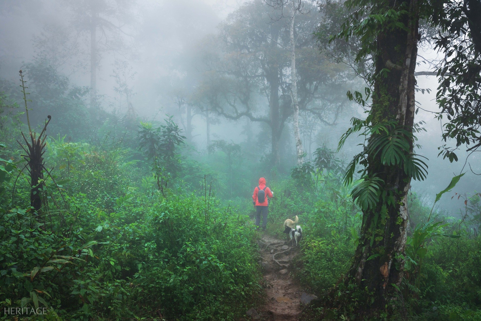
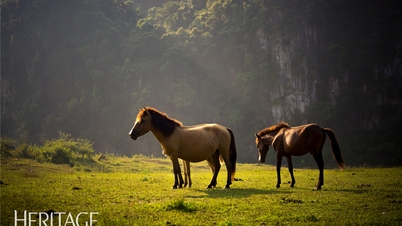
While the climb from Lai Chau offers visitors the opportunity to enjoy a fairytale-like stretch of pristine forest, the Lao Cai route provides expansive, panoramic views of the surrounding landscape.
The journey to conquer Ky Quan San requires a moderate to high level of physical fitness, so participants need to train for 2-3 weeks before starting.
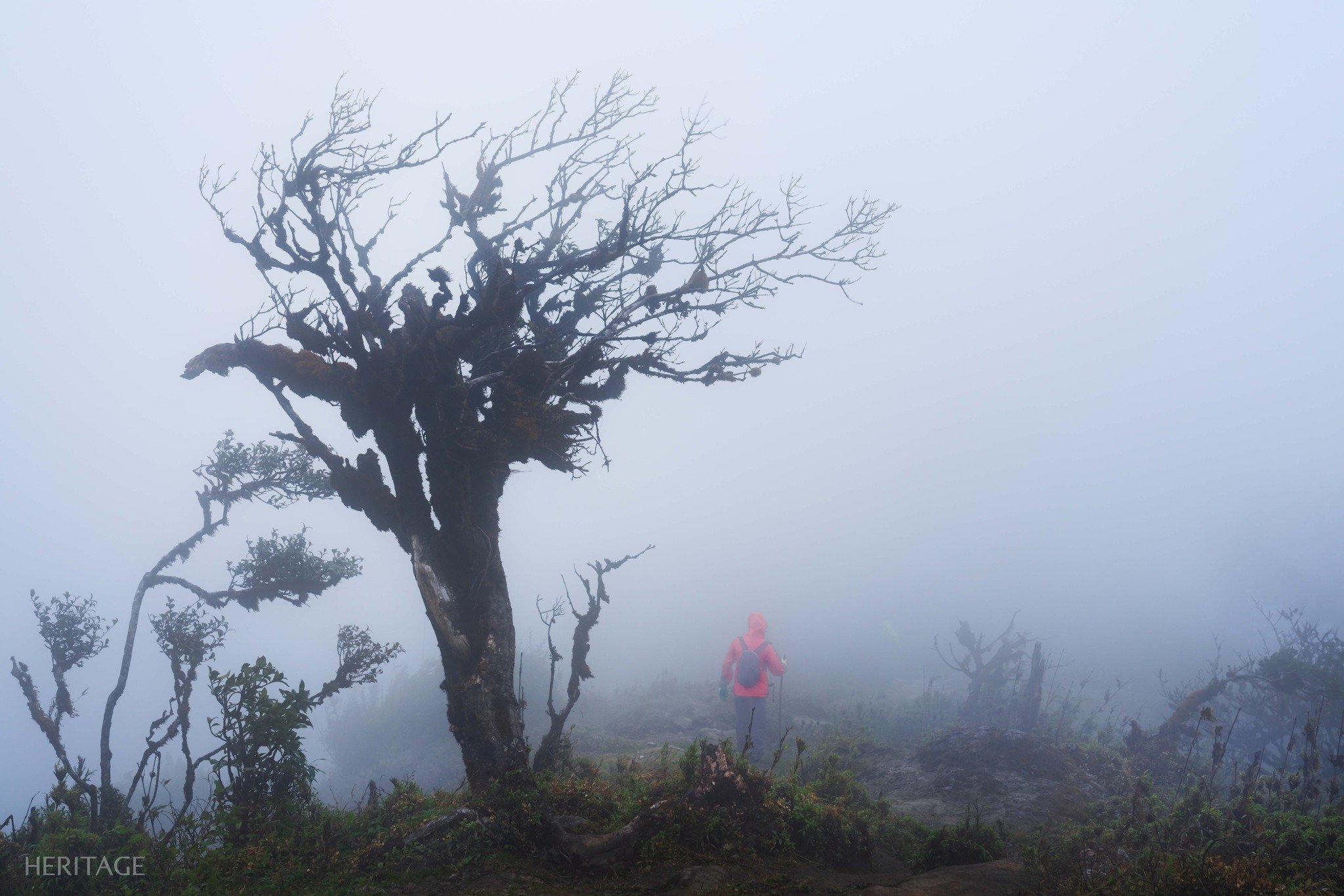
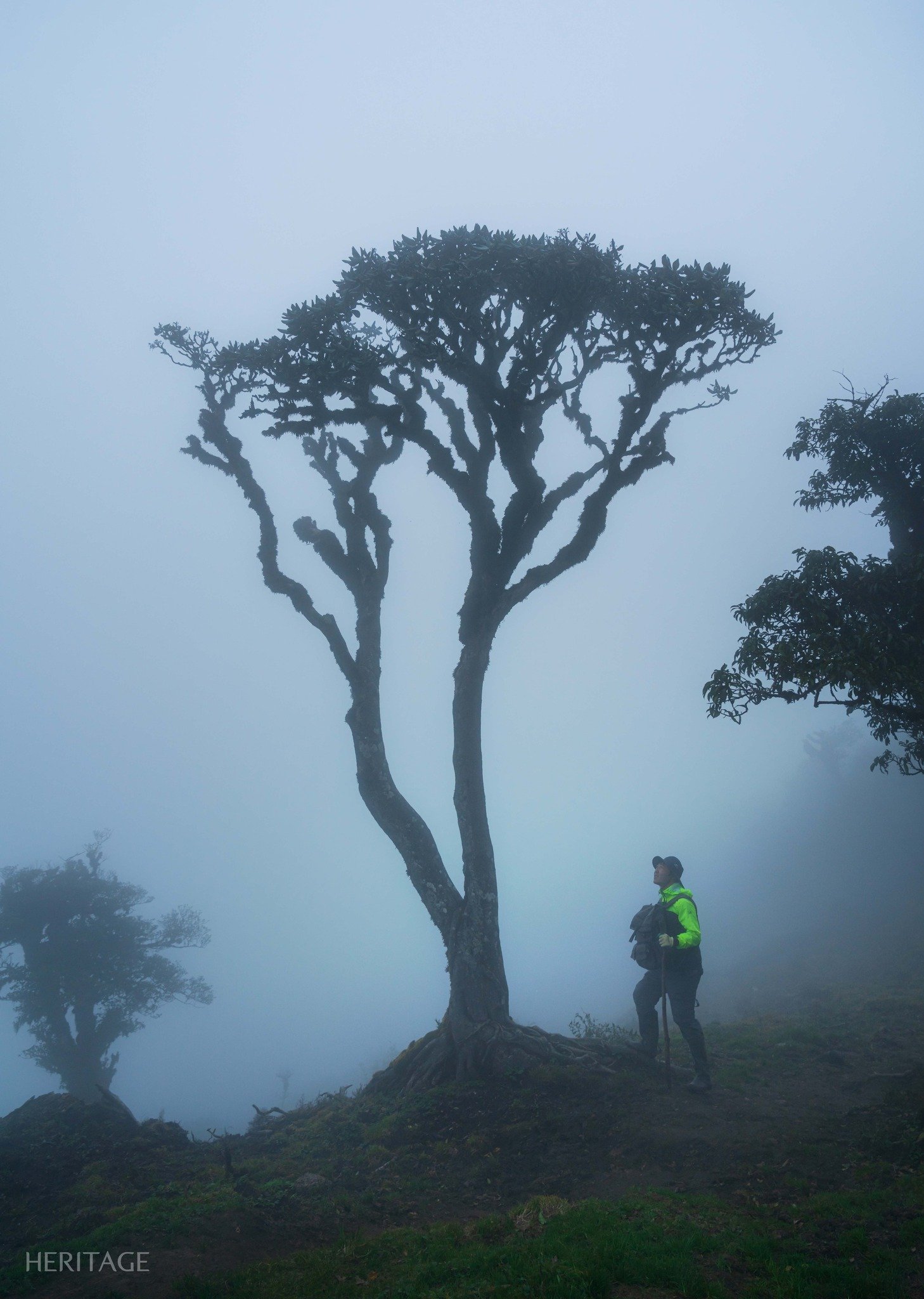
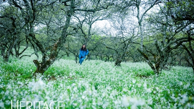
In the early days of winter, this trekking route is considered most beautiful, with the rhododendron flowers in full bloom, and it is also famous as one of the most majestic cloud-watching spots in Northwest Vietnam.

Bach Moc Luong Tu is also one of the most beautiful cloud-hunting spots, attracting a large community of travel and trekking enthusiasts recently.
The ideal time for trekking in Bach Moc Luong Tu is from mid-September to April of the following year, when the northern provinces enter the dry season, with cool weather and little rain. This is also the most beautiful and perfect time of year for mountain climbing.

The weather in the mountains gets very cold at night, so tourists need to prepare warm clothing and heat patches.
Beginners should not attempt these activities on their own, but should participate under the supervision and guidance of reputable organizing units. This helps minimize risks such as exhaustion, accidents, and getting lost.
Photo: Vinh Dav
Heritage Magazine


![[Photo] Prime Minister Pham Minh Chinh holds a phone call with the CEO of Russia's Rosatom Corporation.](https://vphoto.vietnam.vn/thumb/402x226/vietnam/resource/IMAGE/2025/12/11/1765464552365_dsc-5295-jpg.webp)


![[Photo] Prime Minister Pham Minh Chinh holds a phone call with the CEO of Russia's Rosatom Corporation.](/_next/image?url=https%3A%2F%2Fvphoto.vietnam.vn%2Fthumb%2F1200x675%2Fvietnam%2Fresource%2FIMAGE%2F2025%2F12%2F11%2F1765464552365_dsc-5295-jpg.webp&w=3840&q=75)


Comment (0)