
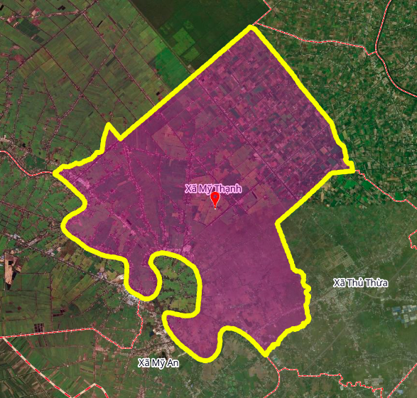
Overview of new route planning
According to the land use planning adjustment map for the period 2021 - 2030 of Thu Thua district, Long An province, a new road with a length of about 4.7 km will be deployed in My Thanh commune. This route is expected to contribute to completing the traffic network and promoting socio- economic development in the locality.
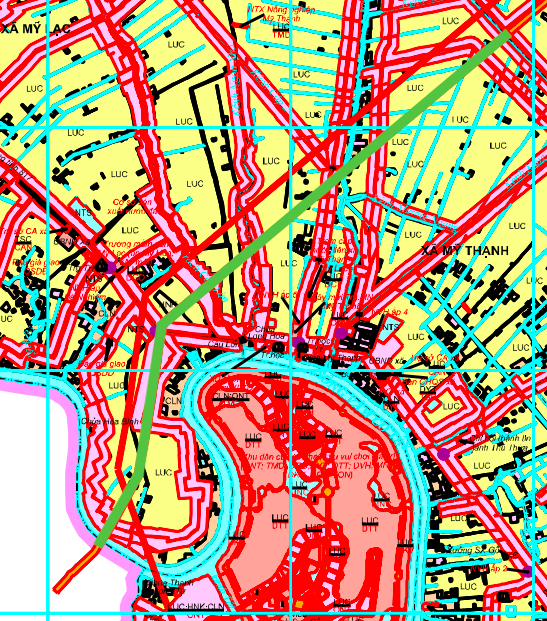
Detailed route itinerary
The most important highlight of the project is the construction of a bridge over the Vam Co Tay River , near Ba Hai Mang Bridge. In addition, the planned route will intersect with the existing route, Provincial Road 833, creating an inter-regional traffic connection point.
The specific route of the route has been clearly shown on the land use planning map of Thu Thua district, providing a basis for the management and implementation of related projects in the future.
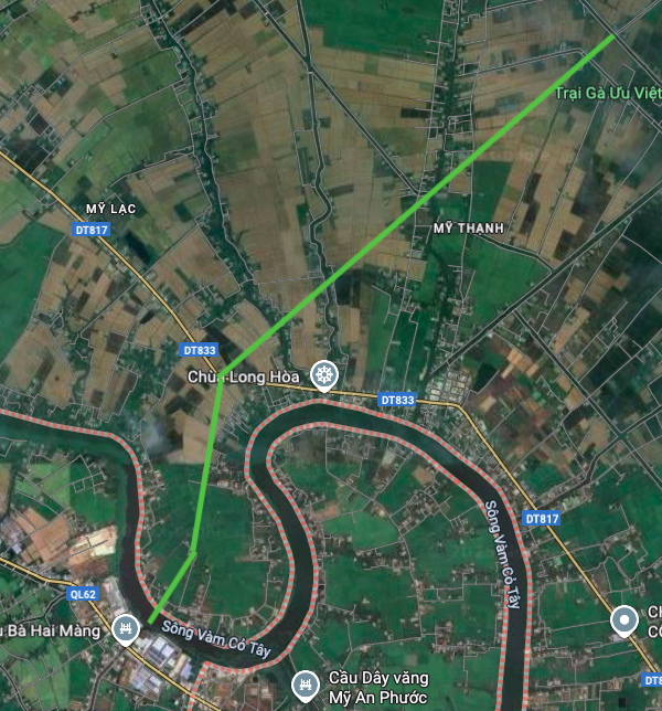
Impact on regional infrastructure and connectivity
The formation of a new route across the Vam Co Tay River is expected to create a new East-West connection axis for My Thanh commune and neighboring areas. The project not only helps shorten travel distances but also reduces pressure on existing traffic routes.
When completed, the route will enhance connectivity between My Thanh commune and the center of Thu Thua district and other localities, creating favorable conditions for the exchange of goods and the development of economic activities.
Note: The information in the article is based on the Land Use Planning Adjustment Map for the period 2021 - 2030 of Thu Thua district, Long An province. The actual route and scale may be adjusted during the implementation process.
Source: https://baolamdong.vn/long-an-quy-hoach-duong-47-km-vuot-song-vam-co-tay-tai-xa-my-thanh-399763.html
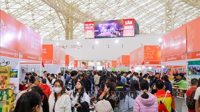
![[Photo] Fall Fair 2025 and impressive records](https://vphoto.vietnam.vn/thumb/1200x675/vietnam/resource/IMAGE/2025/11/03/1762180761230_ndo_br_tk-hcmt-15-jpg.webp)
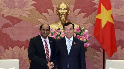
![[Photo] General Secretary To Lam receives Singaporean Ambassador Jaya Ratnam](https://vphoto.vietnam.vn/thumb/1200x675/vietnam/resource/IMAGE/2025/11/03/1762171461424_a1-bnd-5309-9100-jpg.webp)
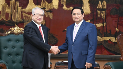
![[Photo] Prime Minister Pham Minh Chinh receives the Chairman of the Japan-Vietnam Friendship Association in the Kansai region](https://vphoto.vietnam.vn/thumb/1200x675/vietnam/resource/IMAGE/2025/11/03/1762176259003_ndo_br_dsc-9224-jpg.webp)
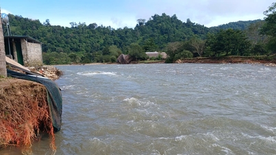
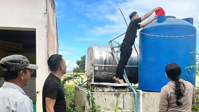
![[Photo] Lam Dong: Close-up of illegal lake with broken wall](https://vphoto.vietnam.vn/thumb/1200x675/vietnam/resource/IMAGE/2025/11/03/1762166057849_a5018a8dcbd5478b1ec4-jpg.webp)


Comment (0)