
FORMATION OF SPECIAL CITIES
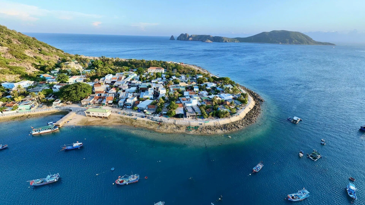
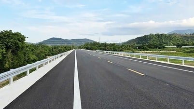
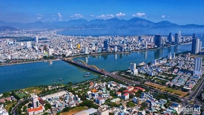
In terms of terrain, Quang Nam is quite special. The river runs parallel to the sea, a form that the province can take advantage of to create typical urban areas, with one side facing the river and the other facing the sea.
For a long time, Quang Nam only focused on Tam Ky and Hoi An areas. Later, there were added Chu Lai Open Economic Zone and Nam Giang International Border Gate Economic Zone.
Quang Nam has also had some development orientations along the axis from Hoi An - Tam Ky - Nui Thanh. However, the locality needs better infrastructure connections, especially in urban transition areas. Only then can it take advantage of the river-sea terrain to develop a suitable urban chain.
It is necessary to develop a more convenient transportation system. At least there must be a connection between the coastal traffic route and the traffic route on the national highway and expressway side. The connections between these routes are still quite thin.
With the connection of routes, Quang Nam will take advantage of its special location to create transitional urban areas. This is the way to define the identity of the new urban area. These are urban areas with some facing the river, some facing the sea, and some areas between the river and the sea.
The outskirts of Chu Lai Open Economic Zone have great potential for airport urban development. In my opinion, the province's planning for Chu Lai airport is quite close. It is determined to develop here not only an international airport but also a cargo airport, because currently Da Nang Airport is too narrow and cannot be expanded much.
Once that development direction has been determined, more investment is needed in transport routes connecting to the seaport system. We need a more efficient infrastructure system, connecting the East-West - North-South directions, meeting the demand for transporting large volumes of goods through these ports. That is also the premise for developing specific urban areas such as airport urban areas and seaport urban areas.
Unable to go it alone, Quang Nam needs to link well with Da Nang. Both localities need to develop in correlation and truly cooperate with each other.
The East of Quang Nam should be developed in complete project clusters. That means wherever the project clusters are built, they should aim to help people settle down and make a living.
For example, when forming a university urban area located between Tam Ky and Nui Thanh, it is necessary to have full technical infrastructure as well as social infrastructure, convenient transportation, smart network connection technical utilities and full electricity and water, schools, hospitals, markets...
The western mountainous area of the province also needs attention, because it can be a very good agricultural development area to support the coastal urban area, helping to raise the standard of living, not allowing the gap between rich and poor to be too large compared to the coastal area. It is necessary to ensure convenient East-West connection, to create conditions for the development of the mountainous area, and so that the people in the west can still share the enjoyment of the infrastructure values concentrated in the east.
URBAN CITIES NEED TO BE ORGANIZED IN HARMONY WITH NATURE
Smart urban development should focus on key areas, not spread out, because in fact, investing in infrastructure for smart cities is very expensive, and Quang Nam's urban areas are moderately populated, not too crowded. We should choose the appropriate way, prioritizing smart infrastructure only for some key areas, instead of wasting money spreading it out across the entire province.
The axis area between Thang Binh - Tam Ky connecting to Chu Lai is starting to develop strongly industrial zones, so in the future there will be a great demand for human resources. So should we consider sooner the possibility of building a university urban area in this area?
We should choose the appropriate way, only prioritizing smart infrastructure for some key areas, instead of wasting money spreading it across the whole province.
Dr. of Science - Architect Ngo Viet Nam Son
In the situation where the University Village in Da Nang is having difficulty resolving the problems that have lasted for the past 25 years, Quang Nam should consider investing in building a university urban area in the area near Tam Ky connecting to Nui Thanh and Chu Lai - where there is a great demand for human resources in high-tech industries such as silica zones or electronics manufacturing industries.
We focus on training technical experts and economic experts. We link university development with the need to connect with businesses. That is a smart way to invest in university cities to meet the goal of socio-economic development associated with green development.
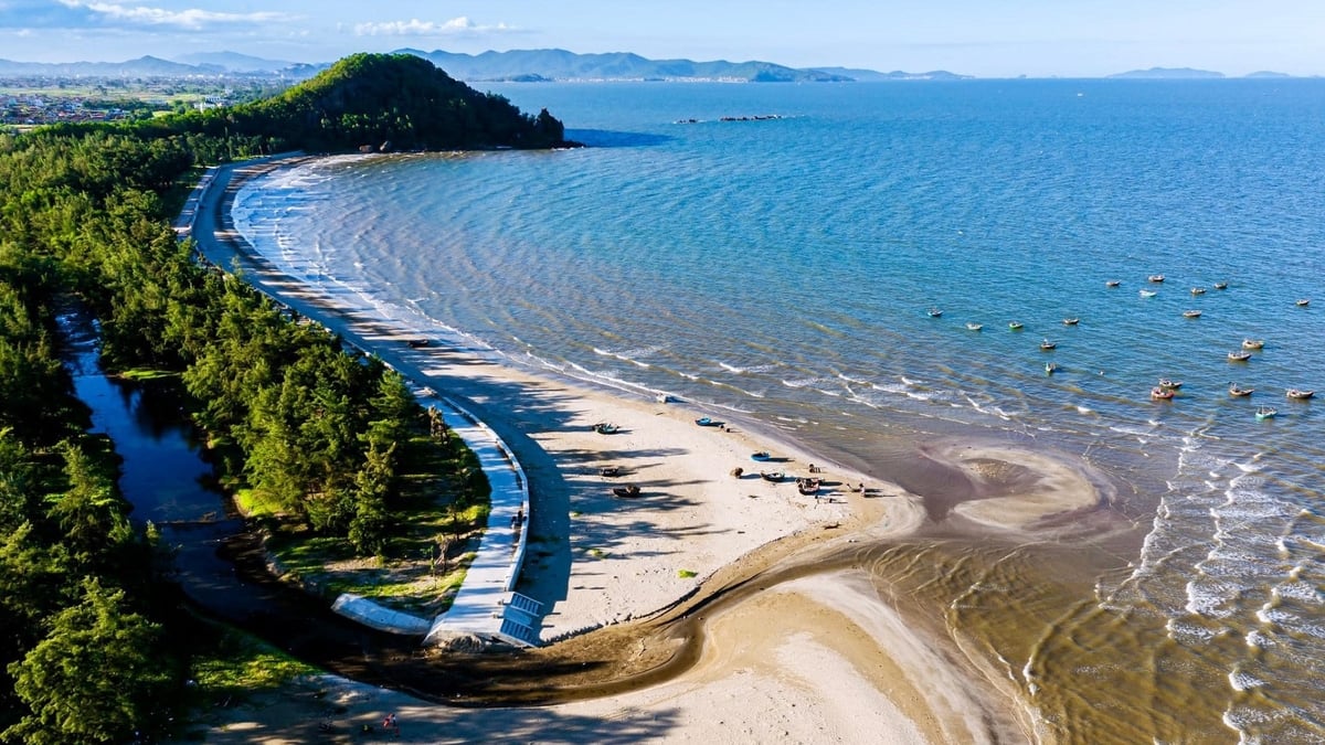
I think Tam Ky should focus on developing the Tam Ky urban route connecting to Nui Thanh and Chu Lai. The beautiful coastal and riverside areas should be developed into tourist urban areas, taking advantage of the value of the landscape that is still quite wild and very beautiful.
These areas have large land funds, much room for development, and need to be invested in to complete the infrastructure framework, with important arterial routes in the North-South direction as well as the East-West direction for Quang Nam. Through that, it creates opportunities to develop potential land funds along key infrastructure, creating an important source of revenue for the local budget in the future!
Urban areas need to be organized in harmony with nature, not over-concrete.
Dr. of Science - Architect Ngo Viet Nam Son
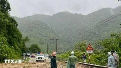
Tam Ky as well as other urban areas in Quang Nam, in the context of climate change and rising sea levels, the foundation for planning must be built on scenarios to respond to climate change and rising sea levels.
That means it is necessary to establish sustainable planning, ensuring good flood prevention and drainage, based on a map of flood-prone areas with appropriate response scenarios.
Urban areas need to be organized in harmony with nature, and should not be overly concreted. There should be open spaces for water - where water is absorbed during extreme rains, then slowly flows into rivers and seas, helping to effectively prevent flooding. Urban areas need to be raised to ensure that they are not flooded in any situation.
Thank you for taking the time to speak with Quang Nam Newspaper!
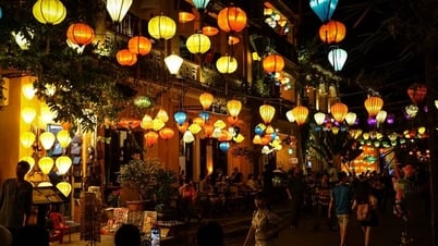
For Hoi An, it must develop in connection with Dien Ban and Da Nang. First of all, it is necessary to improve the convenient public transport system connecting with each other. This inter-regional public transport system can be a light rail or a rapid bus, but I do not think that building a metro will be effective for this area, at least in the next few decades. Second, we should not be too greedy, piling too many hotels into Hoi An, but should form a chain of coastal tourist urban areas running from the south of Da Nang to Hoi An. Third, we should create conditions for people to develop businesses in the connection between Hoi An and Dien Ban and Da Nang, solving the accommodation needs of tourists, associated with organizing tourism connections between regions, creating more new sources of jobs.
Dr. of Science - Architect Ngo Viet Nam Son
Content: HOANG DIEM
Photo: PHAN VU TRONG, LE TRONG KHANG
Graphics: MINH TAO
Source


Comment (0)