
Specifically, the entire province will conduct a review and classification of land data that has been compiled to date (approximately 3.5 million land parcels in all 102/102 communes and wards); build land and housing data for areas where no database has been built; synchronize, connect, and share a unified, common land database; and manage and operate the land database and online public services.
The land database that has been built will be reviewed and perfected to be "accurate - complete - clean - viable - unified - shared"; ensuring consistency, synchronization, and suitability with the two-tiered local government organizational model.
This will improve the quality of public land services; reform and streamline administrative procedures related to land for citizens and businesses in an electronic environment.
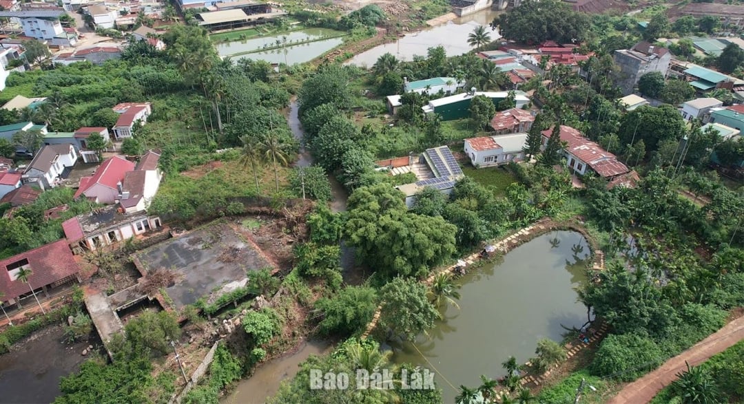 |
| A plot of land in Buon Ma Thuot ward. (Illustrative image) |
To date, the province has built and created land spatial data in 70 out of 102 communes and wards; completed statistical and inventory databases in 77 out of 102 communes and wards; land use planning and plan databases in 72 out of 102 communes and wards; and land price databases in 66 out of 102 communes and wards.
Simultaneously, the province is operating, connecting, and sharing land databases from 102 communes and wards on the interconnected Land Management Information System and the Administrative Procedure Resolution Information System to receive and process land-related dossiers at the commune and provincial levels for 46 procedures, corresponding to 100 electronic processes established on the system.
Source: https://baodaklak.vn/kinh-te/202509/ra-soat-phan-loai-du-lieu-doi-voi-gan-35-trieu-thua-dat-3a21067/


Comment (0)