
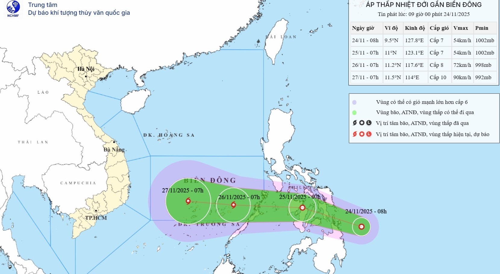
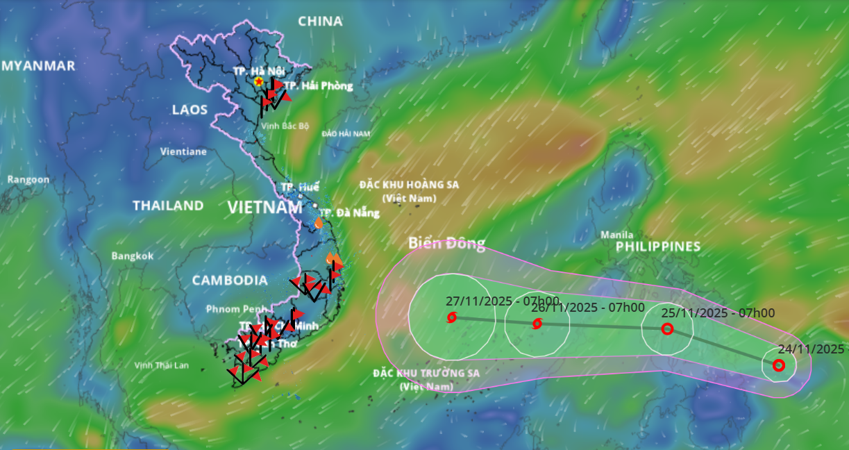
Accordingly, at 7:00 a.m. on November 26, the center of the storm was at about 11.2 degrees north latitude, 117.6 degrees east longitude, in the sea southeast of the central East Sea with the strongest wind at level 8, gusting to level 10.
The storm continues to move mainly west at a speed of 15-20km/h and is likely to strengthen.
Due to the storm's influence, from the night of November 26 to 28, the central and southern areas of the East Sea (including the waters north of Truong Sa special zone) are likely to be affected by strong winds of level 9-10, gusting to level 13.
Ships operating in dangerous areas at sea are susceptible to the effects of storms, whirlwinds, strong winds and large waves.
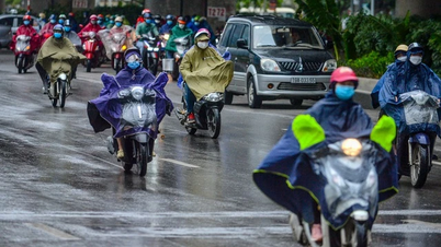
Previously, due to the influence of the cold air moving south, from the afternoon of November 24, in the Gulf of Tonkin, the northeast wind gradually increased to level 6, gusting to level 7-8, rough seas, and waves 2-4m high.
From the evening of November 24, the sea area from the south of Quang Tri to Ca Mau , the central area of the East Sea, has northeast winds gradually increasing to level 6, sometimes level 7, gusting to level 8-9, rough seas, waves 3-5m high.
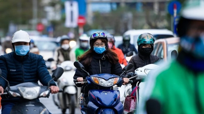
Around the afternoon and night of November 24, cold air will affect the mainland of the Northeast and North Central regions, then affect the Northwest and North Central regions; strong northeast wind level 3-4, coastal areas strong level 4-5; cold weather, the lowest temperature commonly from 12-15 degrees, the mountainous areas of the North have some places with severe cold and the high mountainous areas have places below 10 degrees.
During the day and night of November 24, due to the influence of cold air combined with disturbances in the upper easterly wind zone, in Hue city, Da Nang city and the eastern area of Quang Ngai province there will be moderate rain, heavy rain, and locally very heavy rain.
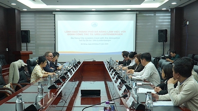
The Da Nang City Civil Defense Command has issued a document requesting departments, branches, localities and units to continue to overcome the consequences of floods and proactively respond to the strengthening cold air and heavy rain.
At the same time, organize on-duty teams, regularly and closely monitor disaster forecasts and warnings, promptly inform people about natural disaster situations to proactively respond; be ready to deploy disaster prevention and control plans; inform about natural disaster situations to units, headquarters, tourism infrastructure and tourists and request localities, tourist areas, outdoor entertainment areas to ensure safety for tourists and infrastructure when natural disasters occur.
Management boards and investors of construction projects are implementing plans to prevent heavy rain for the projects; implementing measures to prevent flooding, and clearing water flows for residential areas due to unfinished construction projects.
The Department of Construction presides over and coordinates with relevant units to direct the implementation of plans to prevent and combat flooding, clear drainage ditches; guide and ensure traffic safety, and promptly direct the handling of landslides on traffic routes.
The Department of Agriculture and Environment organizes inspections and guides localities and units to ensure safety and restore agricultural production activities.
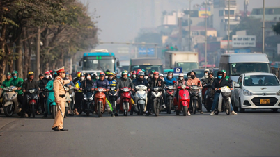
The City Military Command, the City Border Guard Command, the Department of Agriculture and Environment, the Da Nang Coastal Information Station, and the People's Committees of coastal communes and wards continue to closely monitor dangerous weather conditions at sea, promptly notify owners of vehicles and boats still operating at sea of dangerous weather conditions at sea so that they can proactively avoid them. The City Border Guard Command proactively checks, counts, and manages boats going out to sea according to regulations.
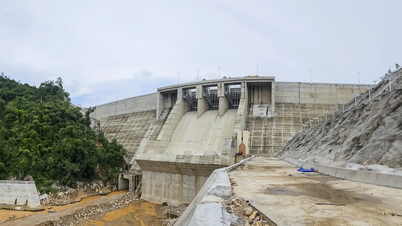
Dam and reservoir management units inspect and monitor dams, promptly detect and handle incidents; closely monitor rainfall and water level developments in reservoirs, regularly report to superior management agencies; properly notify and inform downstream areas, and operate and regulate reservoirs in accordance with operating procedures approved by competent authorities.
Source: https://baodanang.vn/sap-xuat-hien-bao-tren-bien-dong-khong-khi-lanh-tang-cuong-gay-gio-manh-3311192.html


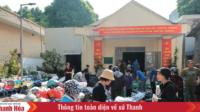
![[Photo] Next to the "mountain of trash" after the flood, Tuy Hoa residents strive to rebuild their lives](/_next/image?url=https%3A%2F%2Fvphoto.vietnam.vn%2Fthumb%2F1200x675%2Fvietnam%2Fresource%2FIMAGE%2F2025%2F11%2F24%2F1763951389752_image-1-jpg.webp&w=3840&q=75)


![[Photo] General Secretary To Lam attends the National Conference to review the Party's inspection, supervision and discipline enforcement work in 2025 and the 13th Congress term](https://vphoto.vietnam.vn/thumb/402x226/vietnam/resource/IMAGE/2025/11/24/1763967570884_anh-man-hinh-2025-11-24-luc-13-59-19.png)


Comment (0)