
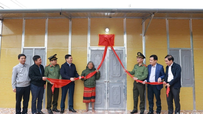
New look in the homeland
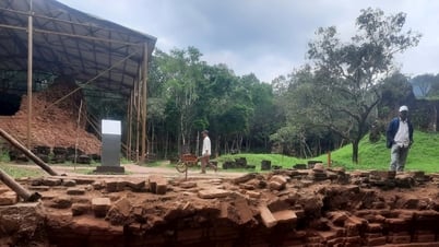
Minh Nong Ward, Viet Tri City is located on the Red River with heavy alluvium, is a sacred land, the origin of wet rice. According to legend and history, this was the land where the Hung Kings and ancient residents started their life of settling, reclaiming and developing agriculture , especially wet rice cultivation.

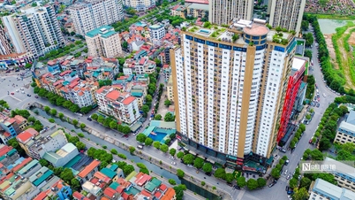
Minh Nong is not only a symbol of the spirit of hard work and creativity but also a cultural heritage, closely linked to the nation's roots. From a purely agricultural commune, in recent years, the urbanization process here has taken place strongly, becoming the most dynamically developing ward of Viet Tri city. Minh Nong ward is being oriented to develop into a modern urban area while still preserving traditional cultural features. Planning projects focus on preserving historical relics, cultural spaces associated with agriculture, while developing modern residential areas, eco -tourism areas and green spaces.
Mr. Nguyen Quang Chung, Chairman of Minh Nong Ward People's Committee said: Minh Nong is planned to become a highlight in the urban development of Viet Tri, a place that both preserves the imprint of the wet rice civilization and blends and harmonizes with the modern lifestyle. This will be an ideal space for residents and tourists to learn about history and culture, while enjoying a fresh, green living environment, connected with nature and national traditions.

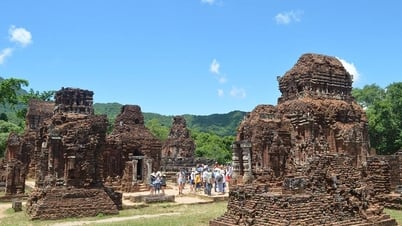
From Minh Nong, we went to Bach Hac ward, associated with the Bach Hac junction, the confluence of three major rivers: the Red River, the Lo River and the Da River. It is not only a famous cultural and historical site but also plays an important role in the economic and urban development of Phu Tho province. With a strategic location near the center of Viet Tri city, this area is considered the intersection of waterways and roads, acting as an economic gateway between the midlands, the northern mountainous region and the Red River Delta. In Phu Tho's urban development strategy, Bach Hac junction is oriented to become a key area, combining modern urban development and preserving natural landscape values, while maximizing the economic potential of major rivers.
According to the leaders of Viet Tri city, in order for the city to develop to be worthy of being the "heart" of the homeland, along with preserving and promoting traditional cultural values, the city focuses on planning, management, and urban development in both breadth and depth; mobilizing maximum resources to develop urban infrastructure, focusing on 3 main areas: transportation system; urban areas, concentrated residential areas; public areas, entertainment.
Ecological green belt
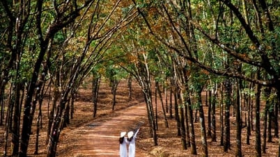
The Red River, as an important waterway and unique landscape, has become the focus of the province's urban planning strategies. Exploiting, preserving and promoting the value of this river not only brings economic benefits but also contributes to building a green and sustainable urban image. Planning projects have been focusing on exploiting the Red River landscape to build riverside urban areas and public spaces.

According to the Master Plan of Viet Tri City (Phu Tho Province) until 2040, Viet Tri City will be developed according to the model of "One corridor, one green belt". The Red River and Lo River belts create a green belt surrounding the city - a landscape and ecological space that creates an urban image and combines service and tourism development.
The green corridor is a corridor along the city's axis in the Northwest - Southeast direction, including the festival space axis returning to the origin of the Vietnamese people from Hung Temple to Bach Hac intersection.
The green belt includes the inside of the riverside dike - a green space, ecological landscape; the outside of the dike, connecting a chain of urban residential areas, tourism, commercial services, associated with green spaces serving the public, parks, sports, tourist squares, ecological areas.
Green space harmoniously connects the space of Hung Temple area, rural and urban areas and riverside space to become an impressive cultural - historical - ecological landscape, typical of the land of the ancestors.

Based on landscape zoning, functional zoning, and operational characteristics of each area, the Plan outlines spatial development orientations according to 8 sub-zones: Zone 1 - Hung Temple Special Historical Relic Area; Zone 2 - Existing Urban Center - Administrative and Political Center; Zone 3 - Urban - Commercial - Service Complex (smart); Zone 4 - Urban Tourism - Service Area (green development); Zone 5 - High-tech Complex - Smart Urban; Zone 6 - Industrial Support Service Urban Area; Zone 7 - Ecological Village combining tourism - services; Zone 8 - Riverbank space strip (alluvial land).
The city as a whole consists of 3 main landscape areas: Area 1 - the focus is the Hung Temple historical relic site - Nghia Linh mountain area; Area 2 - the central area of existing wards, is the strip of land along both sides of Hung Vuong and Nguyen Tat Thanh streets; Area 3 - the belt along the Red River and Lo River, including a mixed urban strip along the river (outside the dike).
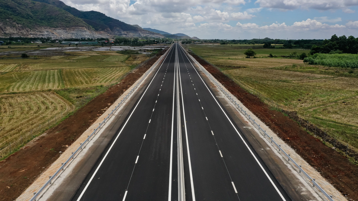
To realize the planning idea, Viet Tri city has completed and put into use many new urban areas and dozens of inner-city traffic routes, creating traffic links with National Highway 2, National Highway 32C, Noi Bai - Lao Cai Expressway... contributing to expanding trade, promoting socio-economic development. Service and tourism infrastructure continues to be invested, moving towards forming green and clean industry, gradually relocating polluting industrial clusters out of the city center.
According to the leader of the Department of Construction of Phu Tho province, urban planning and development work has had many innovations and long-term visions, bringing positive impacts to economic and cultural development, accelerating the process of economic restructuring towards industry - trade - services, attracting investors to the province's expanding urban land fund. In the Phu Tho Provincial Planning Plan for the period 2021 - 2030, with a vision to 2050, the province sets a target of bringing the urbanization rate to 25% by 2025 (the whole province will have 14 urban areas), by 2030 reaching 32% with 22 urban areas, of which Viet Tri city becomes a festival city returning to the roots of the Vietnamese people. Viet Tri has been exploiting all resources to accelerate the urbanization rate, combined with traditional urban architecture rich in cultural identity.
Lesson 4: Awakening the potential of riverside land
Source: https://baolaocai.vn/bai-3-vanh-dai-xanh-sinh-thai-o-viet-tri-post399208.html
![[Photo] Party and State leaders attend the special art program "You are Ho Chi Minh"](https://vphoto.vietnam.vn/thumb/1200x675/vietnam/resource/IMAGE/2025/5/18/6895913f94fd4c51aa4564ab14c3f250)

![[Photo] Special flag-raising ceremony to celebrate the 135th birthday of President Ho Chi Minh](https://vphoto.vietnam.vn/thumb/1200x675/vietnam/resource/IMAGE/2025/5/19/1c5ec80249cc4ef3a5226e366e7e58f1)
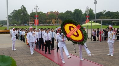
![[Photo] Party and State leaders visit President Ho Chi Minh's Mausoleum](https://vphoto.vietnam.vn/thumb/1200x675/vietnam/resource/IMAGE/2025/5/19/d7e02f242af84752902b22a7208674ac)


Comment (0)