
According to the National Center for Hydro-Meteorological Forecasting, early this morning, October 6, storm No. 11 made landfall in the Fangcheng area (Guangxi province, China).
In Vietnam, due to the influence of the storm circulation, Bach Long Vi island area has strong winds of level 8, gusts of level 9; Co To area has winds of level 6, gusts of level 8; coastal areas of Quang Ninh - Hai Phong have winds of level 6-7.
At 6:00 a.m. on October 6, the center of storm No. 11 was at approximately 22 North latitude - 107.3 East longitude, on the mainland of Guangxi province (China). At this time, the strongest wind was level 8 (62-74 km/h), gusting to level 10.
")
According to SGGP reporters and many people's reports, this morning, October 6, many places in Hanoi were still calm and windless, with no rain. However, some places had light rain or localized heavy rain (mainly concentrated in the East of Hanoi) such as Hoang Mai, Yen So, Gia Lam, Long Bien, Trau Quy... In the West of Hanoi, there was still no rain as of 6 o'clock.
Meanwhile, in Lang Son , from about 5:30 a.m., it started to rain heavily and windy.

Vietnam's Meteorological Agency forecasts that in the next 12 hours (October 6), storm No. 11 will continue to move in a West-Northwest direction at a speed of about 20km/hour and gradually weaken.
As of 4 p.m. today, the center of the low pressure area is located over the mountainous region of the North. The strongest wind speed has decreased to below level 6.
Quang Ninh, Lang Son provinces and the northern Gulf of Tonkin are affected by storm circulation combined with terrain, so there are strong winds.
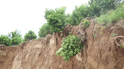
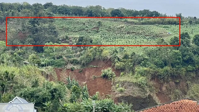
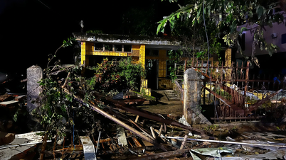
The National Center for Hydro-Meteorological Forecasting said that from early this morning until the end of the night of October 7, the circulation after storm No. 11 will cause heavy to very heavy rain in the mountainous and midland areas of the North with common rainfall of 100-200mm, in some places exceeding 300mm.
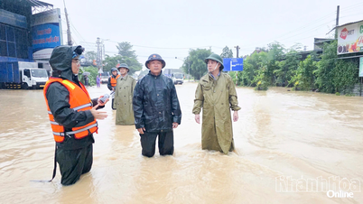
The Northern Delta provinces and Thanh Hoa have moderate to heavy rain, with common rainfall of 50-150mm, and some places may have over 200mm.
The National Center for Hydro-Meteorological Forecasting said that the Hanoi area is unlikely to be directly affected by storms, but still needs to be on guard against thunderstorms, tornadoes and strong gusts of wind. It is forecasted that from this morning until the end of October 7, Hanoi will have moderate to heavy rain with rainfall of about 50-100mm, in some places over 150mm.
Source: https://www.sggp.org.vn/bao-so-11-vao-dat-lien-trung-quoc-bac-bo-mua-to-post816529.html


Comment (0)