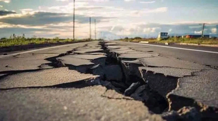
The journey to discover and measure Earth's tremors has spanned more than 2,000 years with many important turning points - Photo: Gelogia
According to the United States Geological Survey (USGS), the earliest recorded earthquake in history occurred in 1831 BC, in Shandong province, China.
However, at that time, people had no equipment to measure the size or intensity of geological tremors. Instead, ancient scholars had to rely on observations of damage, changes in terrain, or oral traditions to speculate about the severity of earthquakes.
Before modern measuring technologies, researchers had to judge the strength of earthquakes based on the consequences they caused, such as structural damage, faults in the earth's crust, or the human response in the affected area. This assessment was highly subjective and could not be standardized across regions or time periods.
Seismoscope: the first "moving recording" device in history
One of the earliest milestones in the journey to measuring earthquakes was the advent of a device called a seismoscope, invented in China around 132 AD by the scholar Zhang Heng.
The seismoscope did not record data for analysis like modern devices, but only aimed to detect whether an earthquake had occurred, and indicate the direction of the shaking of the ground. This device consisted of a large circular copper vessel, inside which was a pendulum sensitive to movement. When an earthquake occurred, the pendulum would oscillate and drop a metal ball into the mouth of a copper frog on the outside, indicating the direction of the shaking.
Although the device did not indicate a specific magnitude or time, it marked the beginning of seismology, demonstrating scientific thinking and innovation beyond its time.
The birth of the seismograph and the seismic scale
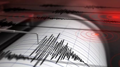
It wasn’t until the late 19th century that seismology had a truly groundbreaking tool: the seismograph. This device allowed the ground motions caused by earthquakes to be recorded in a linear graph, allowing scientists to accurately analyze the timing, amplitude, and characteristics of earthquakes.
In 1935, American seismologist Charles Richter developed the Richter scale, a quantitative system based on seismic wave amplitude to determine the magnitude of earthquakes. This was an important step forward, because for the first time, humans had a unified and widely applicable scale to compare earthquakes.
However, the Richter scale has certain limitations, especially for large and deep earthquakes. Therefore, today, scientists use the Moment Magnitude Scale (Mw). This is a logarithmic scale based on the actual energy released in the earth.
The Mw scale is not only more accurate for large earthquakes, but also better able to measure earthquakes that occur in remote areas or deep under the sea.
From past to future
From ancient seismoscopes to modern seismometers, from observing the aftermath to analyzing seismic waves with computers, the journey of measuring earthquakes is a testament to the constant progress of science and human intelligence.
These measurement tools not only help us better understand the Earth's behavior, but also play a vital role in forecasting, early warning, and minimizing damage caused by natural disasters.
Today, with the support of global seismic sensor systems, satellites and artificial intelligence, humans are getting closer to the goal of better understanding and responding to harsh natural phenomena, including earthquakes.
Source: https://tuoitre.vn/con-nguoi-theo-doi-dong-dat-trong-2-000-nam-qua-the-nao-20250731171654384.htm


![[Photo] Lam Dong: Close-up of illegal lake with broken wall](https://vphoto.vietnam.vn/thumb/1200x675/vietnam/resource/IMAGE/2025/11/03/1762166057849_a5018a8dcbd5478b1ec4-jpg.webp)















Comment (0)