
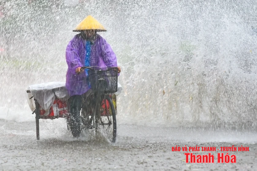
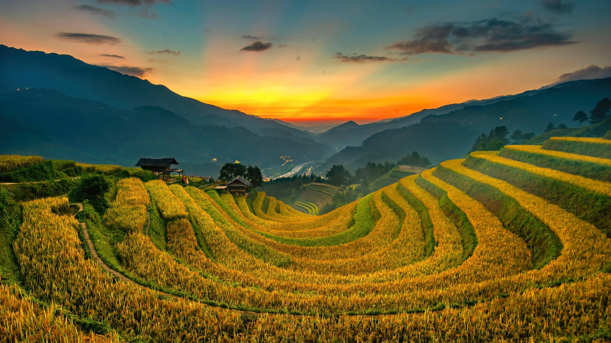
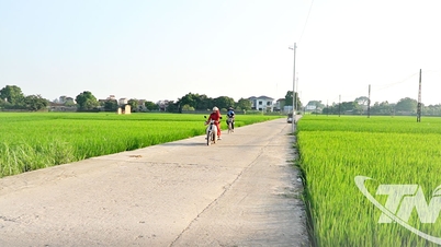
Illustration photo. (Hoang Dong)
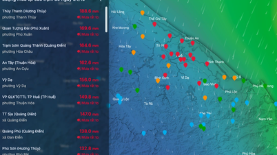
Rainfall in the northern and northwestern mountainous areas is from 100 - 300mm, in some places over 350mm; in the western, southwestern mountainous areas and coastal plains is from 150 - 350mm, in some places over 400mm. Warning of the risk of heavy rain (>150mm/6 hours). In thunderstorms, there is a possibility of tornadoes, lightning and strong gusts of wind.
Detailed forecast from July 21 to the morning of July 23: Northern and Northwestern mountainous areas (Muong Lat, Quan Son, Hoi Xuan, Thiet Ong, Cam Thuy, Kim Tan) will have heavy rain, total rainfall from 100 - 300mm, in some places over 350mm.
In the western and southwestern mountainous regions (Linh Son, Ngoc Lac, Thuong Xuan, Lam Son, Nhu Xuan, Nhu Thanh), total rainfall is from 150 - 350mm, in some places over 400mm.
Coastal plains (Vinh Loc, Yen Dinh, Ha Trung, Bim Son, Nga Son, Hau Loc, Hoang Hoa, Thieu Hoa, Trieu Son, Nong Cong, Nghi Son, Quang Chinh, Hac Thanh, Sam Son) will also have heavy rain, total rainfall from 150 - 350mm, in some places over 400mm.
From the afternoon of July 23 to the end of July 24, Thanh Hoa province will continue to have moderate rain, heavy rain and thunderstorms in some places, with rainfall ranging from 30 - 50mm, and in the midland and mountainous areas, over 80mm in some places.
Warning level of natural disaster risk due to heavy rain: Level 1
There is a high risk of flash floods on small rivers and streams, landslides, especially in areas with steep terrain. Heavy rain can also be accompanied by thunderstorms, tornadoes, lightning, hail and strong winds that can break trees, damage houses, traffic works and infrastructure, cause damage to crops, overload urban drainage systems, and cause flooding in residential areas...
News Reporter Group
Source: https://baothanhhoa.vn/du-bao-luong-mua-tai-cac-khu-vuc-tren-dia-ban-tinh-den-ngay-23-7-255517.htm
![[Photo] Prime Minister Pham Minh Chinh meets with South African President Matamela Cyril Ramaphosa](https://vphoto.vietnam.vn/thumb/1200x675/vietnam/resource/IMAGE/2025/10/23/1761226081024_dsc-9845-jpg.webp)
![[Photo] President Luong Cuong holds talks with South African President Matamela Cyril Ramaphosa](https://vphoto.vietnam.vn/thumb/1200x675/vietnam/resource/IMAGE/2025/10/23/1761221878741_ndo_br_1-8416-jpg.webp)


Comment (0)