
According to the Southern Institute of Water Resources Planning, currently the water level at stations in the East Sea coastal area is low and tends to increase again with the tide, the water level is generally below the first alarm level (BĐI), except for Tra Vinh station (Vinh Long province) on BĐI and Ca Mau station on BĐIII.
Water levels at stations along the West coast are low and tend to decrease slightly. Currently, water levels are generally below BĐI, except for Song Doc station ( Ca Mau province) above BĐII.

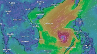
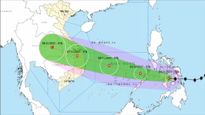
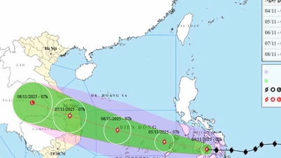
High risk of flooding in the next 10 days due to the impact of high tides and heavy rain. Photo: Le Binh .
It is forecasted that in the next 10 days, water levels at stations in the East Sea coastal area will continue to increase and reach the peak of the high tide period in the middle of the 9th lunar month on November 7-8, 2025, with the peak water level at a common high level on BĐIII from 0.05-0.30 m.
Water levels at stations in the western coastal area will increase again and reach the peak of the high tide period in the middle of the 9th lunar month on November 8-9, 2025, with the peak water level at a common high level on BĐIII from 0.05-0.35 m.
The Southern Institute of Water Resources Planning recommends that localities in the coastal areas of the Mekong Delta, especially residential areas and shrimp-rice production areas with low-lying terrain along the main rivers such as the central area of Ca Mau province, the Northern Ca Mau irrigation sub-regions, the area inside the Quan Lo - Phung Hiep irrigation system (HTTL) and the Ganh Hao riverside area in the two provinces of Ca Mau and Bac Lieu (old), need to be on guard and proactively develop response plans to the high risk of flooding that will occur in the next 10 days due to the impact of high tides and heavy rain, especially from November 4-9, 2025.
Also according to the Southern Institute of Water Resources Planning, the water level at stations in the middle of the Mekong Delta is increasing sharply again with the tide, the water level is generally from BĐII-BĐIII and above BĐIII. It is forecasted that in the next 10 days, the water level will continue to increase and reach the peak of the high tide period in the middle of the 9th lunar month on November 6-7, 2025, the peak water level is generally above BĐIII from 0.1-0.3 m, especially at My Thuan station (Vinh Long province), the peak water level is forecast to exceed BĐIII by 0.4 m.
The Southern Institute of Water Resources Planning recommends that localities in the central Mekong Delta region need to be on guard and proactively prepare response plans to deal with the high risk of flooding that will occur in the next 10 days due to the impact of rain, floods, and high tides, especially from November 4-9, 2025.
Of these, the most serious risk of flooding is expected to occur in the central urban areas of Can Tho City, Vinh Long Province and the area between the Tien and Hau Rivers in Dong Thap Province.
Source: https://nongnghiepmoitruong.vn/nguy-co-ngap-ung-do-mua-lu-trieu-cuong-trong-10-ngay-toi-d782162.html
![[Photo] Comrade Nguyen Duy Ngoc holds the position of Secretary of the Hanoi Party Committee](https://vphoto.vietnam.vn/thumb/1200x675/vietnam/resource/IMAGE/2025/11/04/1762234472658_a1-bnd-5518-8538-jpg.webp)
![[Photo] The road connecting Dong Nai with Ho Chi Minh City is still unfinished after 5 years of construction.](https://vphoto.vietnam.vn/thumb/1200x675/vietnam/resource/IMAGE/2025/11/04/1762241675985_ndo_br_dji-20251104104418-0635-d-resize-1295-jpg.webp)


![[Photo] Ca Mau "struggling" to cope with the highest tide of the year, forecast to exceed alert level 3](https://vphoto.vietnam.vn/thumb/1200x675/vietnam/resource/IMAGE/2025/11/04/1762235371445_ndo_br_trieu-cuong-2-6486-jpg.webp)
![[Photo] Ho Chi Minh City Youth Take Action for a Cleaner Environment](https://vphoto.vietnam.vn/thumb/1200x675/vietnam/resource/IMAGE/2025/11/04/1762233574890_550816358-1108586934787014-6430522970717297480-n-1-jpg.webp)


Comment (0)