
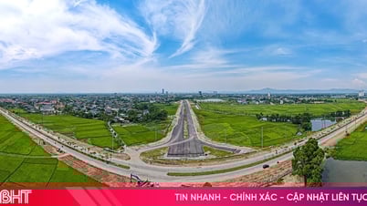
(HG) - The Provincial People's Committee has just approved the Task of establishing the general urban planning project of Kinh Cung, Phung Hiep district, Hau Giang province until 2040.
The scope of the planning study belongs to the administrative boundary of Kinh Cung town and part of Hoa My commune, Tan Binh commune, Phung Hiep district; with the following borders: The North borders Nang Mau canal; the East borders residential land about 250m from the State canal; the West borders residential land about 500m from provincial road 926B and borders Tam Ngan canal; the South borders residential land about 1km from the intersection of the State canal and Lo Da canal.
Kinh Cung urban area is a commercial and service town developing in association with industrial development of Phung Hiep district, located in the center of the province, in the future expanding economic and cultural exchanges outside. It is a traffic hub, an exchange within the province and between provinces, playing a role in promoting the socio-economic development of a region of Hau Giang province. The forecasted population of the entire urban area by 2030 is 11,000 people; by 2040 it is 16,000 people. The expected area by 2040 is about 453 hectares.
Regarding the requirements for urban space development orientation, the focus will be on developing trade and services; specifically, developing trade and services along National Highway 61 and Provincial Road 926B. Kinh Cung urban orientation is a trade and service urban area of Phung Hiep district and connecting urban areas in Hau Giang province. Determine the scope and scale of urban functional areas including existing areas with limited development; areas that need to be renovated and renovated; areas that need to be preserved and embellished, areas with changed functions; new development areas; areas prohibited from construction, areas reserved for development; areas planned for underground construction. In addition, determine indicators on population density, urban planning land use indicators, orientation and development principles for each functional area; determine indicators on area, construction density, land use coefficient, height in functional areas. Determining a suitable location for converting green parks ensures both creating landscape and developing the district...
T. TRUC
Source

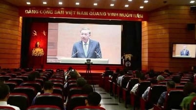
![[Photo] National conference to disseminate and implement Resolution No. 66-NQ/TW and Resolution No. 68-NQ/TW of the Politburo](https://vphoto.vietnam.vn/thumb/1200x675/vietnam/resource/IMAGE/2025/5/18/adf666b9303a4213998b395b05234b6a)
![[Photo] More than 17,000 candidates participate in the 2025 SPT Competency Assessment Test of Hanoi National University of Education](https://vphoto.vietnam.vn/thumb/1200x675/vietnam/resource/IMAGE/2025/5/17/e538d9a1636c407cbb211b314e6303fd)
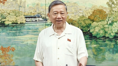
![[Photo] General Secretary To Lam visits exhibition of achievements in private economic development](https://vphoto.vietnam.vn/thumb/1200x675/vietnam/resource/IMAGE/2025/5/18/1809dc545f214a86911fe2d2d0fde2e8)


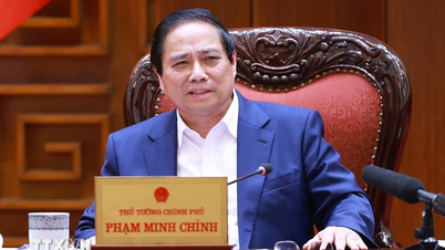
![[Photo] Prime Minister Pham Minh Chinh chairs meeting on science and technology development](https://vphoto.vietnam.vn/thumb/1200x675/vietnam/resource/IMAGE/2025/5/17/ae80dd74c384439789b12013c738a045)


Comment (0)