
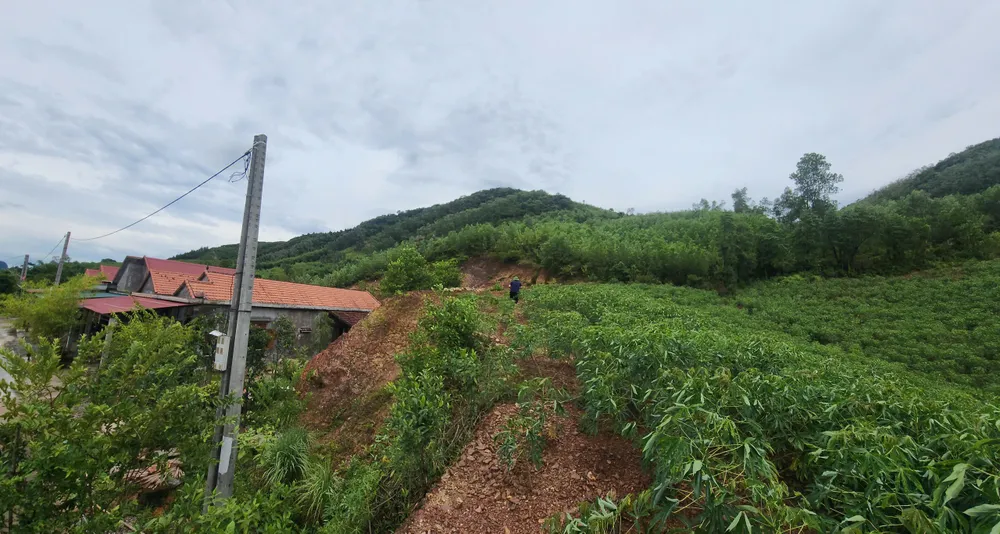
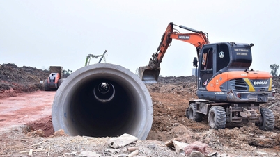
According to a report from the Quang Tri Provincial Department of Agriculture and Environment, the Phong Khong hill area, located at an altitude of approximately 171m, has a steep terrain, and the landslide point is only 78m from the residential area. The landslide has caused numerous large cracks, directly threatening 60 plots of land, where dozens of households live, a village hall, and a primary school. The total affected area is approximately 2.5 hectares.

Notably, the Dam Thuy resettlement area – built after the 2020 floods – also shows signs of slope cracking and foundation erosion due to prolonged heavy rain combined with weak soil. In some areas, the slope height reaches 14m, exceeding the safety limit.
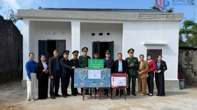
Facing a high risk of landslides, the Provincial People's Committee has directed the establishment of temporary shelters to ensure living conditions, healthcare , and food for residents and students. Police, military, militia, and local disaster prevention forces have been mobilized and are on duty 24/7, ready to respond in case of any emergency.

Simultaneously, the province has instructed the Department of Agriculture and Environment to coordinate with the Institute of Geological Sciences and Minerals to urgently survey and determine the causes of the landslide, propose long-term solutions, and submit a report before November 15th.
Source: https://www.sggp.org.vn/quang-tri-cong-bo-tinh-huong-khan-cap-di-doi-1-truong-hoc-and-53-ho-dan-post820872.html
![[Live] 2025 Community Action Awards Gala](/_next/image?url=https%3A%2F%2Fvphoto.vietnam.vn%2Fthumb%2F1200x675%2Fvietnam%2Fresource%2FIMAGE%2F2025%2F12%2F16%2F1765899631650_ndo_tr_z7334013144784-9f9fe10a6d63584c85aff40f2957c250-jpg.webp&w=3840&q=75)
![[Photo] Prime Minister Pham Minh Chinh receives Lao Minister of Education and Sports Thongsalith Mangnormek](/_next/image?url=https%3A%2F%2Fvphoto.vietnam.vn%2Fthumb%2F1200x675%2Fvietnam%2Fresource%2FIMAGE%2F2025%2F12%2F16%2F1765876834721_dsc-7519-jpg.webp&w=3840&q=75)


![[Photo] Prime Minister Pham Minh Chinh receives the Governor of Tochigi Province (Japan)](/_next/image?url=https%3A%2F%2Fvphoto.vietnam.vn%2Fthumb%2F1200x675%2Fvietnam%2Fresource%2FIMAGE%2F2025%2F12%2F16%2F1765892133176_dsc-8082-6425-jpg.webp&w=3840&q=75)
![[Image] Leaked images ahead of the 2025 Community Action Awards gala.](/_next/image?url=https%3A%2F%2Fvphoto.vietnam.vn%2Fthumb%2F1200x675%2Fvietnam%2Fresource%2FIMAGE%2F2025%2F12%2F16%2F1765882828720_ndo_br_thiet-ke-chua-co-ten-45-png.webp&w=3840&q=75)


Comment (0)