
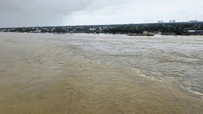
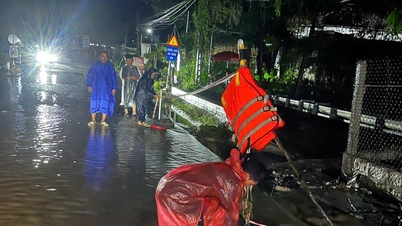
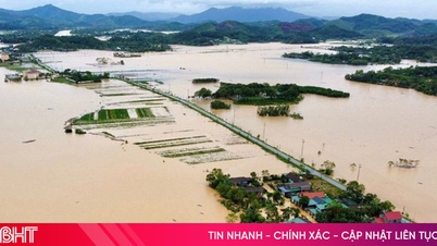
According to records at some stations, the highest tide level has exceeded the historical tide level. This development shows that the trend of high tides is increasing in amplitude and frequency, reflecting the combined impact of climate change and rising sea levels.
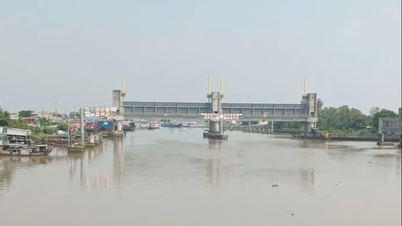
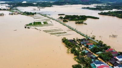
Through actual inspection, review and reporting from localities, it is noted that wards and communes along the Saigon River are directly affected by high tides such as: Binh Quoi Ward, An Phu Dong, Phu An, Thu Dau Mot, Thuan An, Binh My Commune, Dong Thanh... causing local flooding in some residential areas, affecting some properties and crops of the people.
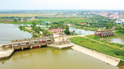
In particular, the high tide overflowed the top of the embankment of the Thanh Da peninsula landslide prevention project, causing flooding of the residential area along Binh Quoi road from 0.25 - 0.35m; causing partial subsidence of the Ba Thon tide control culvert, An Phu Dong commune; breaking 15m of the left bank of Ong Thang canal, causing flooding of some neighborhoods, with an average flooding depth of 0.3 - 1.2m.
To proactively prevent, combat and respond to high tides in late October and early November 2025, the Department of Agriculture and Environment has issued urgent dispatches on proactively implementing measures to prevent, combat and respond to high tides; requesting agencies and units to implement them from now until the Lunar New Year of Binh Ngo in 2026.
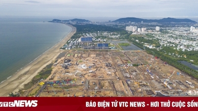
Along with high tides and rising sea levels, Ho Chi Minh City also experiences land subsidence, causing some places to sink nearly 1 meter in 35 years (since 1990).
Areas with subsidence rates above 10mm/year are often located on weak geological foundations, even without impacts from construction, traffic or groundwater exploitation. This shows that geology and geomorphology play an important role in ground deformation.
In addition, areas with truck traffic,
At the same time, houses, apartments and high-rise buildings can impact the ground surface, but thanks to modern pile foundation technology, this impact is mainly temporary and the ground tends to stabilize over time.
In addition, the exploitation of groundwater beyond the allowable limit or due to concreting reduces the ability to replenish rainwater for groundwater, lowering the groundwater level, causing ground subsidence.
In 2010, the city implemented the project "Monitoring ground deformation in the city area using differential INSAR technique". As a result, a map of land subsidence zoning in the city area was established and two long-term monitoring stations for ground subsidence were built in Tan Tao Industrial Park (former Binh Tan district) and Binh Hung commune (former Binh Chanh district).
At the end of 2019, the Ho Chi Minh City area continued to experience land subsidence, the area with the largest subsidence was 31mm. Of which, the area of fast subsidence (>15mm/year) was 14,775ha, the area of relatively fast subsidence (10 - 15mm/year) was 22,331ha, the area of average subsidence (5 - 10mm/year) was 29,560ha.
In addition, according to a recent survey by the Japan International Cooperation Agency (JICA), the ground subsidence in Ho Chi Minh City has been occurring continuously since 1990, with the cumulative subsidence estimated at about 1m. The current subsidence rate of Ho Chi Minh City is about 2-5cm/year. Particularly in areas with concentrated commercial buildings, the subsidence rate is about 7-8cm/year.
The Department of Agriculture and Environment said that the Ministry of Agriculture and Environment is implementing the project "Modernizing the national elevation system", aiming to build a system of long-term stable elevation markers and determine the average elevation of the sea level. The project will be implemented from 2022 to 2025, with the construction of 4 century elevation markers at Ho Chi Minh City National University, Nhuan Duc Commune People's Committee (formerly Cu Chi), Lang Le Cultural Area (formerly Binh Chanh), Can Gio District Children's House (formerly), and 2 border markers in Dong Nai and Long An (formerly).
The hydrometric measurement work was completed in 2023, the next measurement cycles will take place in 2024 and 2025, after which the data will be handed over to the locality for exploitation and use. The Department is implementing the task of completing the level 4 elevation benchmark system in the period of 2025 - 2026, serving planning, construction, socio -economic development, climate change response, and assessment of subsidence in the city.
Source: https://baophapluat.vn/so-nong-nghiep-va-moi-truong-tp-ho-chi-minh-thong-tin-ve-tinh-hinh-trieu-cuong-va-sut-lun-dat-tai-thanh-pho.html
![[Photo] General Secretary To Lam receives Vice President of Luxshare-ICT Group (China)](https://vphoto.vietnam.vn/thumb/1200x675/vietnam/resource/IMAGE/2025/11/15/1763211137119_a1-bnd-7809-8939-jpg.webp)
![[Photo] Prime Minister Pham Minh Chinh meets with representatives of outstanding teachers](https://vphoto.vietnam.vn/thumb/1200x675/vietnam/resource/IMAGE/2025/11/15/1763215934276_dsc-0578-jpg.webp)


Comment (0)