
Attending at the Dak Lak Provincial People's Committee bridge were Vice Chairman of the Provincial People's Committee Nguyen Thien Van; leaders of relevant departments, branches and units.
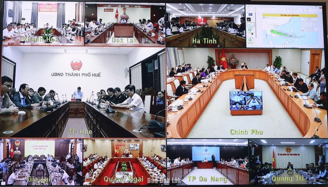 |
| Delegates attending the conference at the bridge points. |
According to the report of the Ministry of Agriculture and Environment (MARD), early on the morning of November 5, storm Kalmaegi officially entered the eastern sea area of the central East Sea, becoming the 13th storm in the East Sea in 2025. This is a strong storm, moving quickly, posing the risk of direct and serious impacts on coastal and inland areas.
Speaking at the conference, Deputy Prime Minister Tran Hong Ha assessed that storm No. 13 is moving very fast, at a speed of about 25 km/hour, with great intensity, and a high risk of isolation, landslides, flash floods, and landslides that are becoming increasingly serious.
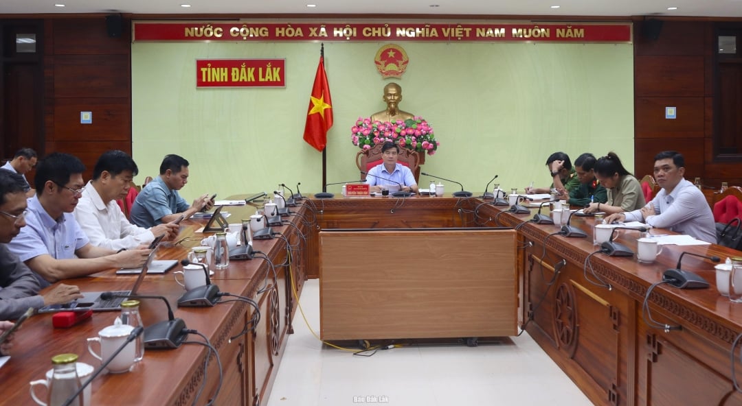 |
| Delegates attending the conference at the Dak Lak Provincial People's Committee bridge. |
The storm is expected to begin affecting and making landfall from 7 p.m. on November 6. The Deputy Prime Minister requested the Ministry of Agriculture and Rural Development and relevant units to continue forecasting with higher requirements, providing more dense information; forecasts must be assessed for each stage: at sea, coastal areas when the storm makes landfall, affected areas on land and forecast subsequent phenomena related to rain, floods, whirlwinds, and lightning. To help people easily visualize and understand the level of danger, it is necessary to take data of the current storm (intensity, speed, affected area) to compare with data of previous storms, for example, storms in 2017 and 2020.
All localities within the storm's affected area and storm circulation (not just the storm's center) on November 5 must update the response plan and scenario directed from storm No. 12 (or previous storm), the scenario must be changed along with forecast data.
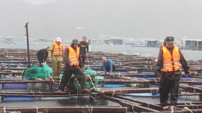
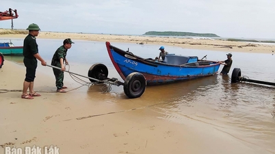
Minimize movement at sea, require 100% of boats to be brought to shelters; ensure that people are not present at sea before 5 pm tomorrow (ie before 5 pm on November 6), have forces to control assets and ensure that people are absolutely not present at sea. Plan to evacuate people must be limited to areas: high tide, coastal waters and areas directly affected by the storm center.
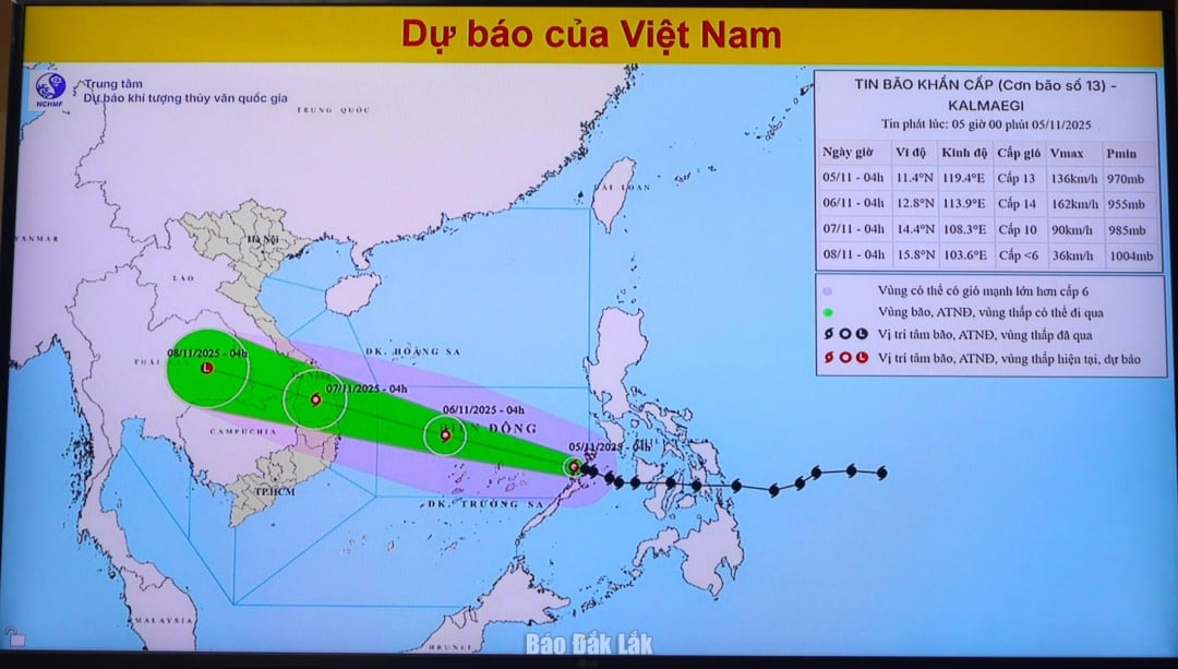 |
| Storm No. 13 forecast information board of the National Center for Hydro-Meteorological Forecasting, updated at 5:00 a.m. on November 5. |
Request the Chairman of the Provincial People's Committee to urgently meet with Military Region 4 and Military Region 5 to assign officers to work directly with the locality and the Civil Defense Steering Committee. The scenario must clearly define the forces, numbers of troops, means and accompanying equipment.
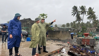
Direct the authorities to organize traffic flow from a distance, limit people from going out on the streets during storms and heavy rains. Be ready to deploy forces to guard and control people and vehicles in dangerous areas, deep floods, landslides. Urgently mobilize forces to harvest agricultural production and aquaculture according to the motto "green at home is better than old in the fields".
Source: https://baodaklak.vn/kinh-te/202511/tat-ca-tau-thuyen-phai-vao-bo-bao-dam-khong-con-nguoi-dan-tren-bien-truoc-17-gio-ngay-611-a28034a/


![[Photo] Closing of the 14th Conference of the 13th Party Central Committee](https://vphoto.vietnam.vn/thumb/1200x675/vietnam/resource/IMAGE/2025/11/06/1762404919012_a1-bnd-5975-5183-jpg.webp)


Comment (0)