
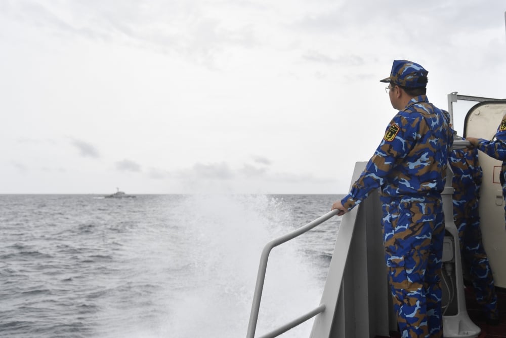
The joint patrol aims to maintain security and order in the historical waters of Vietnam and Cambodia, creating conditions for the people of the two countries to develop the marine economy while consolidating and developing cooperative relations, enhancing understanding, trust and mutual assistance between the two navies.
With the agreement, the Water Area between the coast of Kien Giang province, Phu Quoc island to Tho Chu archipelago of the Socialist Republic of Vietnam and the coast of Kampot province to Poulo Wai island group of the People's Republic of Cambodia is the historical water area of the two countries according to the internal waters regime, limited (according to the East Greenwich meridian: To the Northwest by the straight line connecting the coordinates 9 o 54'.2 North - 102 o 55'.2 East and 9 o 54'.5 North - 102 o 57'.0 East at Poulo Wai island (Cambodia) to the coordinates 10 o 24'.1 North - 103 o 48'.0 East and 10 o 25'.6 North - 103 o 49'.2 East at Koh Sès island (Cambodia) to the coordinates 10 o 30'.0 North - 103 o 47'.4 East at Koh Thmei (Cambodia) pulls to coordinates 10 o 32'.4 N - 103 o 48'.2 E on the coast of Kampot province (Cambodia).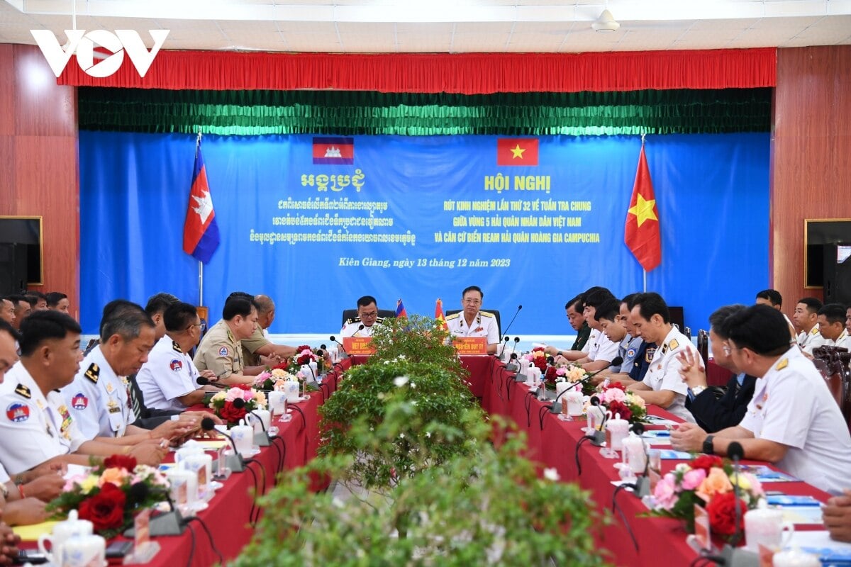
During the patrol, naval ships of the two countries regularly exchange information and maritime situations; organize observation and strictly control vehicles operating in historical waters.
To the North by the coastline of Kampot province from coordinates 10 o 32'.4 North - 103 o 48'.2 East to the coastal end of the land border between Vietnam and Cambodia. To the Southeast by the line connecting the coastal end of the land border between Vietnam and Cambodia to coordinates 10 o 04'.2 North - 104 o 02'.3 East at An Yen cape on Phu Quoc island (Vietnam) around the northern coast of the island to Dat Do cape at coordinates 10 o 02'.8 North - 103 o 59'.1 East through coordinates 9 o 18'.1 North - 103 o 26'.4 East at Tho Chu island (Vietnam) to coordinates 9o15'.0 North - 103o27'.0 East at Hon Nhan island in Tho Chu archipelago (Vietnam). To the southwest by a straight line extending from coordinates 9 o 55'.0 North - 102 o 53'.5 East at Poulo Wai Island to coordinates 9 o 15'.0 North - 103 o 27'.0 East at Hon Nhan Island in Tho Chu archipelago (Vietnam). Vietnam and Cambodia will negotiate at an appropriate time in the spirit of equality, friendship, respect for each other's independence, sovereignty and territorial integrity, and respect for each other's legitimate interests to delineate the maritime border between the two countries in the historical waters mentioned in point 1. The junction point 0 of the two baselines used to calculate the breadth of each country's territorial waters lies in the middle of the sea on the straight line connecting Tho Chu archipelago and Poulo Wai Island and will be determined by agreement between the two sides later. Vietnam and Cambodia take the line called the Brévié line drawn in 1939 as the dividing line for the islands in this area. Patrolling and controlling in this historical water area is carried out by both sides. Fishing by local people in this area continues according to traditional business practices. Regarding the exploitation of natural resources in that area, the two sides will reach an agreement. Vietnam and Cambodia have conducted surveys and agreed to report to the two governments to build at least one border market. At the same time, activities will be implemented to encourage Vietnamese and Cambodian traders to invest in developing border trade infrastructure according to regulations; strengthen the organization of trade and investment promotion activities to promote the construction and development of border trade infrastructure in the Vietnam-Cambodia border area; support traders to organize the introduction, promotion and distribution of goods at border markets, trade centers, shopping centers, fair and exhibition centers, etc.


![[Photo] National Assembly Chairman Tran Thanh Man visits Vietnamese Heroic Mother Ta Thi Tran](https://vphoto.vietnam.vn/thumb/1200x675/vietnam/resource/IMAGE/2025/7/20/765c0bd057dd44ad83ab89fe0255b783)


Comment (0)