
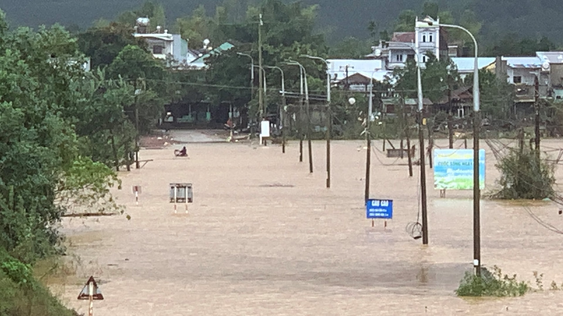
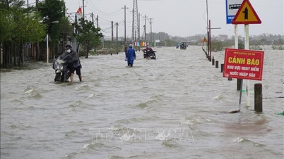
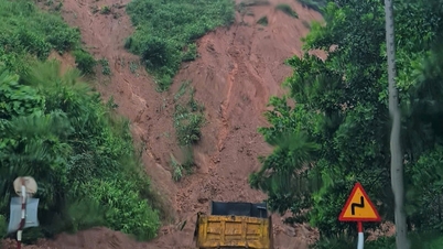
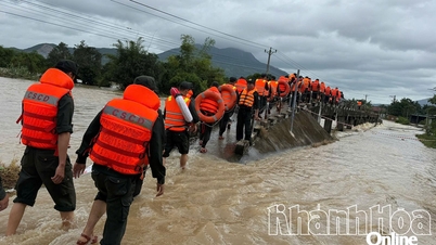
On the morning of November 17, Phoc Bridge was flooded nearly 1 meter, the water flowed so fast that vehicles could not pass. Quan Bridge was flooded more than 1 meter, stretching nearly 100 meters and was blocked by authorities at both ends.
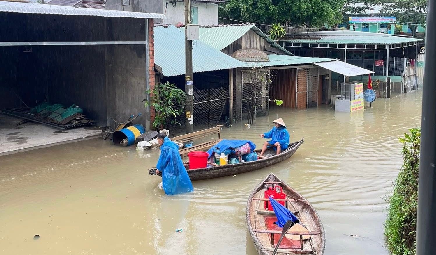
From Da Bridge to Bau Sam, water flooded the road. The road from Dong An to Tu Trung was completely cut off. Some residential areas were flooded more than 1 meter deep, people had to move by boat.
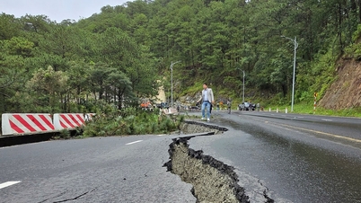
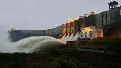
National Highway 14H through Que Phuoc commune has many flooded areas, especially the section over Khe Rinh bridge which is deeply flooded, posing a potential safety risk. Currently, the water level of Thu Bon river continues to rise.
Ms. Tao Thi To Diem, Chairwoman of Que Phuoc Commune People's Committee, said that the militia, commune police and shock troops are on duty 24/7 at key points to guide people, set up barriers and temporarily stop vehicles from passing through deeply flooded sections.
The commune also checked low-lying areas, riverbanks, streams and locations at risk of flash floods and landslides to be ready to evacuate people.
In Xuan Hoa village, the locality mobilized 17 households with 51 people in Duoi hamlet to evacuate from the landslide area from the afternoon of November 16.
Local authorities recommend that people stock up on necessities and drinking water; move assets and livestock to high places; and absolutely do not cross deep flooded areas with fast-flowing water.
* In Nong Son commune, the road from Que Loc to Trung Phuoc was flooded in many sections, some places more than 1 meter deep; some inter-village and inter-hamlet traffic routes were cut off.
Authorities have set up checkpoints, temporarily prohibiting people and vehicles from passing through to ensure safety.
Source: https://baodanang.vn/mua-lon-gay-ngap-sau-chia-cat-nhieu-khu-vuc-o-xa-que-phuoc-va-nong-son-3310285.html


![[Photo] General Secretary To Lam and National Assembly Chairman Tran Thanh Man attend the 80th Anniversary of the Traditional Day of the Vietnamese Inspection Sector](https://vphoto.vietnam.vn/thumb/1200x675/vietnam/resource/IMAGE/2025/11/17/1763356362984_a2-bnd-7940-3561-jpg.webp)


Comment (0)