
Dampness comes unusually early
According to the National Center for Hydro-Meteorological Forecasting, normally in late autumn and early winter, the weather in the North is mainly sunny and dry with daytime temperatures of about 27 - 32°C, and air humidity is usually below 50%.
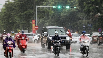
However, this year, the situation is different. The cold comes early, there is a lot of rain, the autumn season only lasts about 2 weeks. In the past two days, there has been fog, continuous light rain, the highest temperature is about 28°C, while the humidity is still above 80%, causing the floor and walls to 'sweat', and the clothes cannot be dried.

Meteorological experts say that the dampness appearing in November is quite unusual, because according to the normal cycle, this phenomenon usually occurs from late winter to early spring (around February to April of the solar calendar) - the time when plants grow strongly.
The cause was determined to be the weakening cold air mass moving east, combined with the southeast wind from the maritime air mass moving in, bringing with it a lot of moisture.
Meteorological experts explained that normally, humid weather only appears in late winter - early spring (February - March) when humid winds from the East Sea blow in and meet the remaining cold temperatures. However, this year the change of seasons is out of phase when the cold air mass from the North appears early but is weak, not strong enough to push the low pressure trough away.
Meanwhile, the hot and humid air mass from the East Sea and the South Central Coast is unusually active, pushing moisture back up to the North. The two air masses meet over the Northern Delta region, creating a low temperature inversion layer, preventing water vapor from escaping upwards; the humidity is saturated, creating a damp, sticky feeling.
In addition, the indirect impact of post-storm circulation and westerly wind troughs when low vortices and tropical storms continuously appeared in the East Sea in recent times has disrupted the wind field in the Northern region.
Currently, the upper-level westerly wind trough still exists, while the lower-level is affected by the humid easterly wind from the sea, creating a "humid sandwich" situation: the upper level has thick clouds, the lower level is heavily humid, the air is stuffy, humid, there is little sunlight, and the temperature is higher than average.
Another factor causing unusual humidity in Hanoi is that the ground and concrete structures absorb heat during the day and radiate heat at night, causing the air temperature to not drop low enough to dry the surface. When encountering humid east winds, this warm air mass has more difficulty evaporating water, creating a humid, stuffy feeling even without rain.
How long will the damp weather last?
The National Center for Hydro-Meteorological Forecasting predicts that the humid weather in the North may last until November 11, before the cold air mass strengthens from November 12, along with winds from the north to northwest at an altitude of 1,500 - 3,000 m, helping the North to transition to a state of clear clouds and clearer sunshine.
In the context of La Niña returning, this year's winter cold air tends to come earlier and stronger. It is forecasted that there will be three cold air waves in November, of which the strongest one in the middle of the month is likely to affect the North and North Central regions, even spreading to the Hue - Da Nang area.
The lowest temperature in the early morning in the mountainous areas of the North and the Northwest Central region can drop to 10-12 degrees Celsius; in the plain areas like Hanoi, it is cold at 16-18 degrees Celsius.
Entering December, the cold air is more active and frequent with three distinct cold spells. The end of December lasting until early January 2026 may see the first widespread severe cold spell of the winter.
La Niña has also increased the number of storms and tropical depressions in the South China Sea. There have been 13 storms so far this year, and the meteorological agency is currently monitoring storm number 14 - Fung Wong (Phuong Hoang).
Typhoon Phuong Hoang is unlikely to directly affect the weather on mainland Vietnam, but people and tourists still need to closely monitor developments to proactively avoid bad weather.
Source: https://baolaocai.vn/nguyen-nhan-khien-nom-am-o-mien-bac-den-som-bat-thuong-post886425.html


Comment (0)