
According to the National Center for Hydro-Meteorological Forecasting, in the past 3 hours, storm No. 7 (Tapah) has barely moved. As of 7:00 a.m. this morning (September 7), the center of the storm is still in the northern sea area of the North East Sea, 350km northeast of Hoang Sa special zone, 450km south of Hong Kong (China). The strongest wind near the center of the storm is level 9 (75-88km/h), gusting to level 11.
In the next 24 hours, the storm will move northwest at 10-15km/h and continue to strengthen. By 7am tomorrow morning (September 8), the storm's center will be in the sea south of Guangdong province (China) with an intensity of level 10, gusting to level 13. Disaster risk level: Level 3, in the sea north of the East Sea.
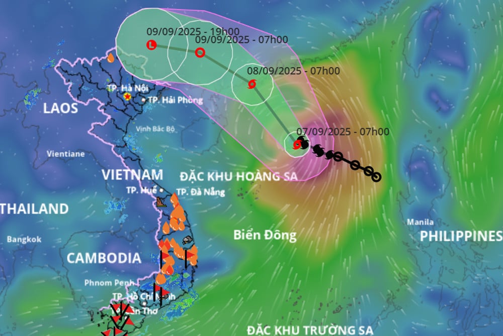
The path of storm No. 7 updated on the morning of September 7. Source: Vietnam Disaster Monitoring System
It is forecasted that in the next 24 hours, the storm will maintain its direction and speed of movement and will gradually weaken. At 7:00 a.m. on September 9, the center of the tropical depression will be located on the mainland of Guangdong province (China) with the intensity reduced to level 6, gusting to level 8. Risk level: Level 3 (northwest sea area of the East Sea).
In the next 12 hours, the storm changed direction, moving West Northwest, about 15-20km/h, weakening into a low pressure area. At 7pm, the center of the low pressure area was over the mainland of Guangxi province (China); intensity below level 6.
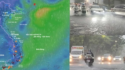
Due to the influence of storm No. 7, the northern sea area of the North East Sea has strong winds of level 7-8, the area near the storm center has strong winds of level 9-10, gusts of level 13; waves 3-5m high, very rough seas.
Vessels operating in the above mentioned dangerous areas are susceptible to the impact of storms, whirlwinds, strong winds and large waves.
Vietnamnet.vn
Source: https://vietnamnet.vn/tin-moi-nhat-ve-bao-so-7-it-dich-chuyen-3-gio-qua-co-the-giat-cuc-dai-cap-13-2439856.html


![[Photo] Prime Minister Pham Minh Chinh chairs a meeting on housing policy and the real estate market.](https://vphoto.vietnam.vn/thumb/1200x675/vietnam/resource/IMAGE/2025/11/11/1762838719858_dsc-2107-jpg.webp)

![[Photo] Chu Noodles - the essence of rice and sunshine](https://vphoto.vietnam.vn/thumb/1200x675/vietnam/resource/IMAGE/2025/11/11/1762846220477_ndo_tl_7-jpg.webp)


![Dong Nai OCOP transition: [Article 3] Linking tourism with OCOP product consumption](https://vphoto.vietnam.vn/thumb/402x226/vietnam/resource/IMAGE/2025/11/10/1762739199309_1324-2740-7_n-162543_981.jpeg)


Comment (0)