According to the National Center for Hydro-Meteorological Forecasting, as of 7:00 a.m. this morning (November 3), the center of storm Kalmaegi was located in the sea east of the central Philippines. The strongest wind near the center of the storm was level 11 (89-102 km/h), gusting to level 15, up 2 levels compared to 4:00 p.m. yesterday (November 2).
The storm is currently moving quite quickly in the West Southwest direction at a speed of about 25km/h.

Location and direction of storm Kalmaegi, updated on the morning of November 3. Photo: NCHMF
It is forecasted that in the next 24 hours, the storm will move mainly westward at a speed of about 20km/h and will likely intensify. By 7am tomorrow morning (November 4), the storm's center will be in the central Philippines with a level 12 intensity (118-133km/h), gusting to level 15.
In the next 24 hours, the storm will change direction and move west-northwest at a speed of 20-25km/h. Around dawn on November 5 (Wednesday), storm Kalmaegi is likely to enter the East Sea and become storm number 13 in 2025.
After entering the East Sea, Typhoon Kalmaegi maintained its direction of movement. At 7am the same day, the eye of the storm was located in the eastern sea area of the central East Sea, with the intensity increasing to level 13, gusting to level 15 and likely to strengthen further.
In the next 24 hours, the storm continued to move west-northwest at a speed of 20km/h. At 7am on November 6, the storm's eye was located in the middle of the East Sea, about 430km east-southeast of the coast of Gia Lai province. The strongest wind near the storm's eye was level 14, gusting to level 17.
After that, the storm continued to move mainly in the West Northwest direction, about 20km per hour; stable intensity, then gradually weakened.

Previously, the meteorological agency predicted that around November 7, the storm would likely move inland, with the focus area likely to be directly impacted from Da Nang to Khanh Hoa.
The storm may cause strong winds and heavy rain in the provinces of the Central Central, South Central, and Central Highlands regions from the night of November 6 to 9. The meteorological agency noted that the storm forecast is still affected by many large-scale factors and may change, so authorities and people need to monitor regularly and update new forecasts.
Due to the influence of the storm, from around the afternoon of November 4, the sea area east of the central East Sea will have winds gradually increasing to level 6-7, then increasing to level 8-9, the area near the storm center will have strong winds of level 10-12, gusting to level 14-15, waves 5-7m high.
During November 5-6, in the central East Sea area (including Truong Sa special zone), the sea area off the coast of Da Nang - Khanh Hoa is likely to be affected by strong winds of level 12-14, gusting above level 17, and waves of 8-10m high.
All ships and structures operating in the above-mentioned dangerous areas are strongly affected by storms, whirlwinds, strong winds and big waves.
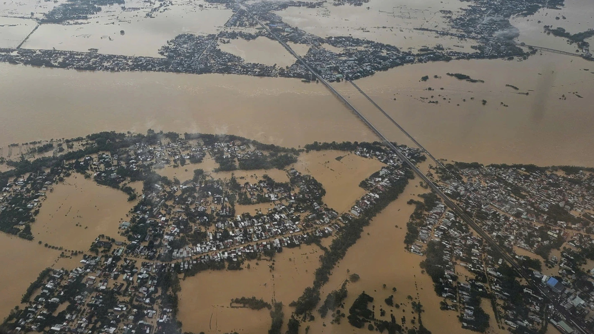
According to current forecasts, the South Central region is likely to be directly affected when the storm enters, with heavy rain expected to occur from around November 6-8. In the Central region, which has just experienced heavy rain with rainfall of up to thousands of mm, causing the soil to be saturated, if the strong storm continues to make landfall, the risk of flash floods and landslides is very high.
In addition, water levels on rivers remain high; if heavy rains continue, water levels may rise again, leading to widespread flooding.
Vietnamnet.vn
Source: https://vietnamnet.vn/tin-moi-nhat-ve-bao-kalmaegi-di-chuyen-nhanh-ngay-7-11-co-the-vao-mien-trung-2458545.html


![[Photo] Ho Chi Minh City Youth Take Action for a Cleaner Environment](https://vphoto.vietnam.vn/thumb/1200x675/vietnam/resource/IMAGE/2025/11/04/1762233574890_550816358-1108586934787014-6430522970717297480-n-1-jpg.webp)
![[Photo] Ca Mau "struggling" to cope with the highest tide of the year, forecast to exceed alert level 3](https://vphoto.vietnam.vn/thumb/1200x675/vietnam/resource/IMAGE/2025/11/04/1762235371445_ndo_br_trieu-cuong-2-6486-jpg.webp)
![[Photo] Government holds a special meeting on 8 decrees related to the International Financial Center in Vietnam](https://vphoto.vietnam.vn/thumb/1200x675/vietnam/resource/IMAGE/2025/11/04/1762229370189_dsc-9764-jpg.webp)
![[Photo] Comrade Nguyen Duy Ngoc holds the position of Secretary of the Hanoi Party Committee](https://vphoto.vietnam.vn/thumb/1200x675/vietnam/resource/IMAGE/2025/11/04/1762234472658_a1-bnd-5518-8538-jpg.webp)


![[Photo] The road connecting Dong Nai with Ho Chi Minh City is still unfinished after 5 years of construction.](https://vphoto.vietnam.vn/thumb/1200x675/vietnam/resource/IMAGE/2025/11/04/1762241675985_ndo_br_dji-20251104104418-0635-d-resize-1295-jpg.webp)


Comment (0)