
 |
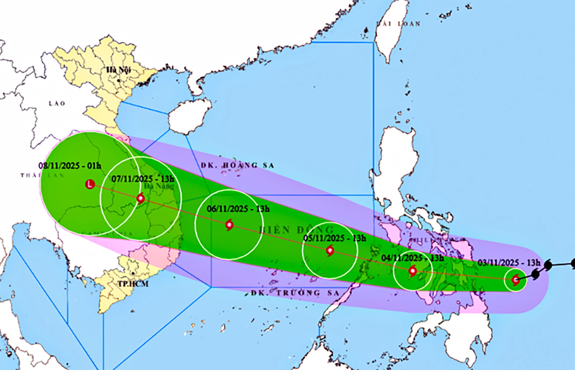
| Location and forecast direction of storm KALMAEGI. |
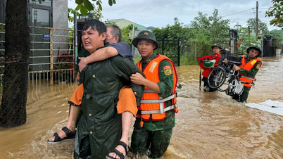
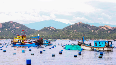
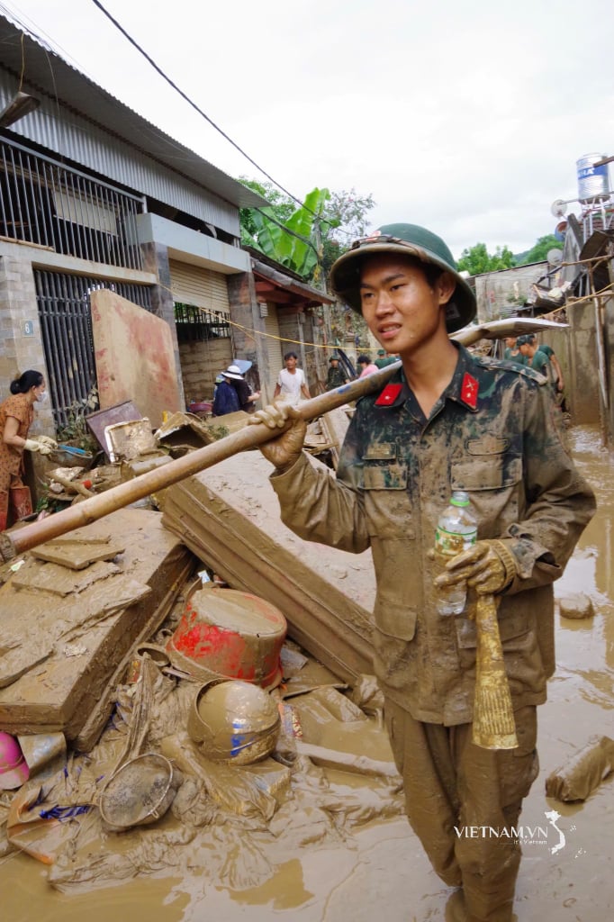
Due to the impact of the storm, from around the afternoon of November 4, the sea area in the East Sea will have winds gradually increasing to level 6-7, then increasing to level 8-9; the area near the storm center will have strong winds of level 10-12, gusts of level 14-15, waves 5-7m high, and rough seas. During the two days of November 5 and 6, the area in the middle of the East Sea (including Truong Sa special zone), the sea area off the coast of Da Nang - Khanh Hoa will be affected by strong winds of level 12-14, gusts above level 17, waves 8-10m high, rough seas. All ships and structures operating in the above-mentioned dangerous area will be strongly affected by storms, whirlwinds, strong winds, and big waves.
In Khanh Hoa , from November 5 to 8, storm No. 13 caused strong winds and large waves at sea. From early morning of November 6 to 8, the whole province had moderate rain, heavy rain and thunderstorms, some places had very heavy rain; rainfall was generally from 50 to 150mm, in the North some places had rainfall over 200mm. Heavy rain was concentrated on November 6 and 7. Heavy rain is likely to cause floods above and below warning level 2-3; flooding in low-lying areas, especially flooding on urban roads, need to be on guard against the risk of flash floods on small rivers and streams, spillways and landslides in high-risk areas. People who produce and operate boats in the East Sea are advised to take safety precautions; reservoirs regularly monitor the next updates to have a plan to discharge the reservoirs according to regulations.
H.D
Source: https://baokhanhhoa.vn/xa-hoi/202511/du-bao-bao-kalmaegi-giat-cap-17-tren-bien-mua-lon-tren-dat-lien-6930cae/
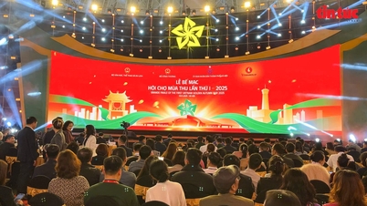
![[Photo] Fall Fair 2025 and impressive records](https://vphoto.vietnam.vn/thumb/1200x675/vietnam/resource/IMAGE/2025/11/03/1762180761230_ndo_br_tk-hcmt-15-jpg.webp)
![[Photo] Prime Minister Pham Minh Chinh receives the Chairman of the Japan-Vietnam Friendship Association in the Kansai region](https://vphoto.vietnam.vn/thumb/1200x675/vietnam/resource/IMAGE/2025/11/03/1762176259003_ndo_br_dsc-9224-jpg.webp)
![[Photo] Lam Dong: Close-up of illegal lake with broken wall](https://vphoto.vietnam.vn/thumb/1200x675/vietnam/resource/IMAGE/2025/11/03/1762166057849_a5018a8dcbd5478b1ec4-jpg.webp)
![[Photo] General Secretary To Lam receives Singaporean Ambassador Jaya Ratnam](https://vphoto.vietnam.vn/thumb/1200x675/vietnam/resource/IMAGE/2025/11/03/1762171461424_a1-bnd-5309-9100-jpg.webp)


Comment (0)