

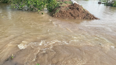
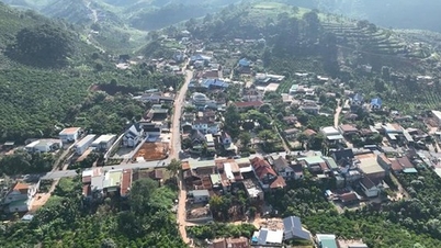
Rising floodwaters inundate some low-lying areas along the Vam Co Dong River.
According to information from the Tay Ninh Province Hydrometeorological Station, in the past 24 hours, the water level of the Vam Co Dong and Vam Co Tay rivers and the Dong Thap Muoi area continued to rise, causing a risk of deep flooding, landslides and dike breaks in many low-lying areas in the province.
According to records of specialized agencies, the water level at Go Dau Ha station reached 1.36m (above alarm level II); Ben Luc station 1.65m and Tan An 1.88m (both above alarm level III). Particularly in Moc Hoa area in Dong Thap Muoi region of the province, the river water level reached 2.03m, higher than alarm level III, causing local flooding in many places.

The water level of the Dong Nai River is rising.
It is forecasted that in the coming days, water levels in the southern region will continue to rise slowly with the tide and remain at a high level, generally at alert level II, and in some places exceeding alert level III.
In the Dong Thap Muoi region, due to heavy rain and upstream water, flooding is forecast to remain at a high level for many days to come.
Tay Ninh Province's Hydrometeorological Station warned that riverside localities such as Can Duoc, Can Giuoc, Tan Tru, Ben Luc, Duc Hoa and many low-lying areas of the province including Duong Minh Chau, Trang Bang, Tan Bien, Phuoc Vinh, Hoa Hoi, Ninh Dien, Long Thuan are at risk of widespread flooding.

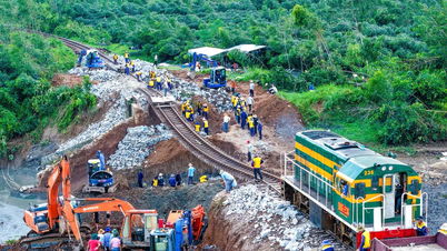
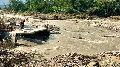
People and officers and soldiers of the Border Guard reinforce the embankment of the deeply flooded area.
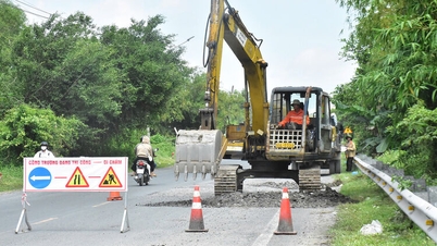
Some rivers and canals such as Vam Co Dong, Vam Co Tay, Ben Da canal may experience dangerous landslides and bank collapses. In particular, the communes of Hung Dien, Nhon Hoa Lap, Vinh Chau, Hau Thanh, Tan Thanh and Thanh Hoa are advised to be on guard against dike breaks and bank overflows when water levels rise and heavy rains occur.
According to the assessment of the meteorological agency, the level of natural disaster risk due to floods on the Dong Vam Co and Tay Vam Co rivers is currently at level 2.
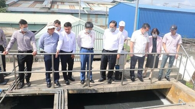
Tay Ninh Hydrometeorological Station recommends that authorities and people proactively deploy preventive measures to ensure safety of life, property and agricultural production during high flood season./.
Minh Duong
Source: https://baolongan.vn/tay-ninh-muc-nuoc-song-vuot-bao-dong-iii-nguy-co-ngap-sau-sat-lo-vo-de-tai-nhieu-vung-trung-thap-a206076.html


![[Video] Hue Monuments reopen to welcome visitors](https://vphoto.vietnam.vn/thumb/402x226/vietnam/resource/IMAGE/2025/11/05/1762301089171_dung01-05-43-09still013-jpg.webp)


![Dong Nai OCOP transition: [Part 2] Opening new distribution channel](https://vphoto.vietnam.vn/thumb/402x226/vietnam/resource/IMAGE/2025/11/09/1762655780766_4613-anh-1_20240803100041-nongnghiep-154608.jpeg)


Comment (0)