
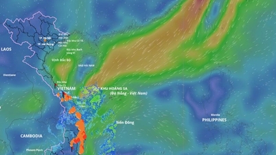
According to the representative of the National Center for Hydro-Meteorological Forecasting, cold air has officially affected Hanoi since the night of January 20. Hanoi had showers which quickly turned to rain and drizzle all day and night on January 21. It was cold all day and night.
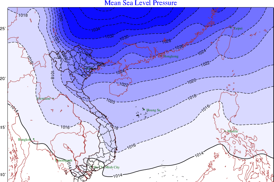
By January 22, the cold air will intensify and affect other places in the North, then expand to the provinces of the North and Central Central regions, as well as some places in the South Central region. The Northeast wind inland will remain at level 2-3; on January 22-23, it will strengthen and remain at level 3, coastal areas at level 4-5, gusting at level 6-7; then gradually decrease.
During this cold air mass, the lowest temperature in the North is commonly from 7-10 degrees, in the mountainous areas of the North from 3-6 degrees, in the high mountains in some places below 0 degrees.
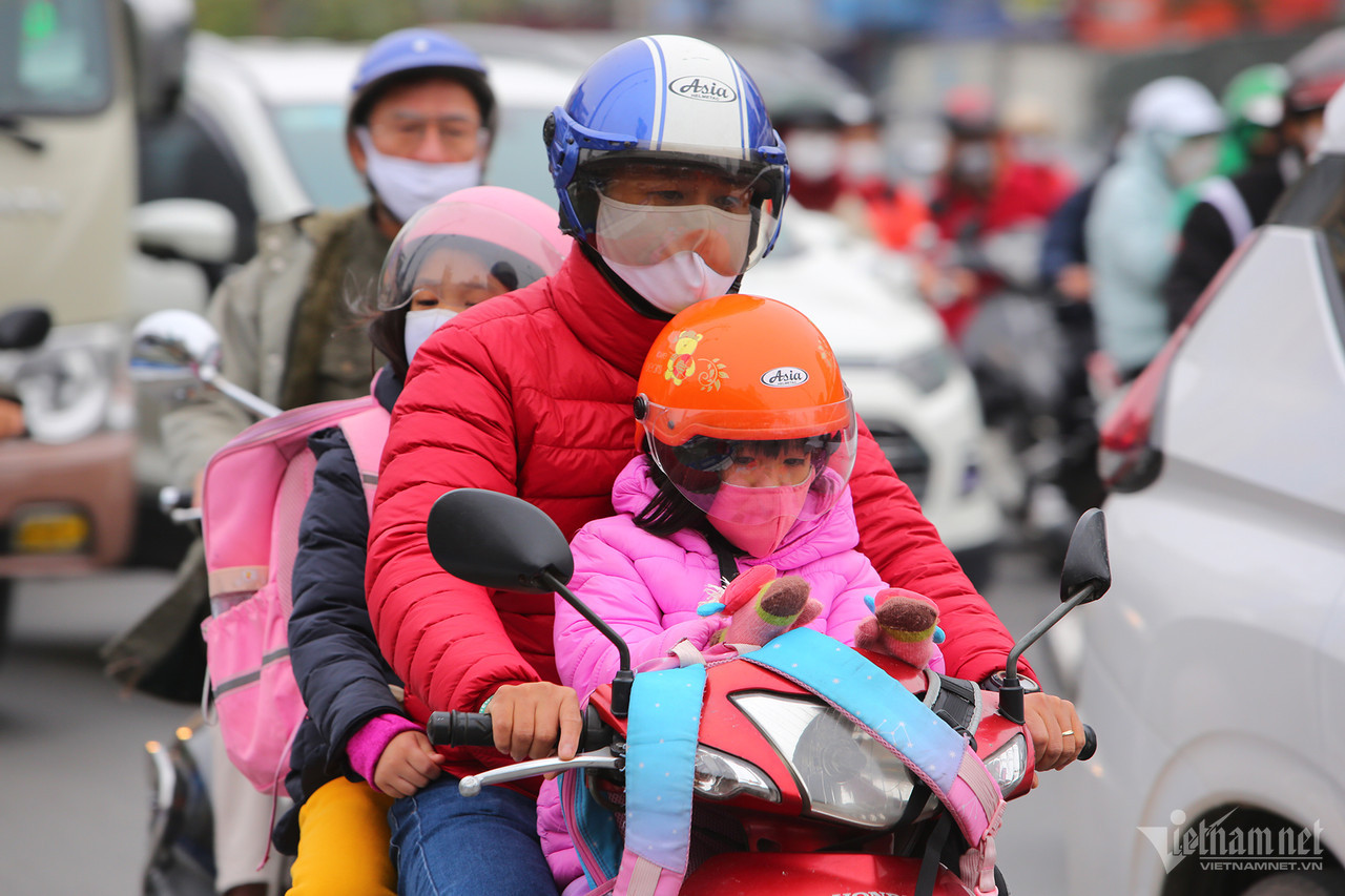
Hanoi's weather is also starting to experience the coldest rain since the beginning of winter 2023-2024. Specifically, today (January 22), when the cold air has increased in intensity, Hanoi continues to have light rain, the highest temperature during the day drops by 12-13 degrees; the weather is very cold, the lowest temperature is 9-11 degrees, in the districts: Soc Son, Me Linh, Dong Anh, Ba Vi, Son Tay town 8-10 degrees.
In the following days (January 23-24), Hanoi will remain cold, but rain tends to decrease.
Previously, Dr. Hoang Phuc Lam, Deputy Director of the National Center for Hydro-Meteorological Forecasting, said that the coldest period will fall between January 22 and 25. In addition, compared to the cold spell from December 16, 2023, this cold spell will make people feel colder because there is little or no chance of sunshine. The temperature range between day and night is low.
Weather in Hanoi capital in the next 3 days (January 22-24) :
| Day | Day (7am-7pm) | Night (7pm-7am) |
| January 22 | Cloudy with light rain. Northeast wind level 2-3. | Cloudy with occasional light rain. Northeast wind level 2-3. |
| January 23 | Cloudy with occasional light rain. Northeast wind level 2-3. | Cloudy with occasional light rain. Light breeze. |
| January 24 | Cloudy, no rain. Light wind. | Cloudy, no rain. Light wind. |
Strong cold air mass, severe cold covers the entire North

Weather forecast for the next 10 days: Cold air arrives, 3 days of peak cold
Source


![[Photo] Prime Minister Pham Minh Chinh and United Nations Secretary-General Antonio Guterres attend the Press Conference of the Hanoi Convention Signing Ceremony](https://vphoto.vietnam.vn/thumb/1200x675/vietnam/resource/IMAGE/2025/10/25/1761391413866_conguoctt-jpg.webp)

![[Photo] National Assembly Chairman Tran Thanh Man receives United Nations Secretary-General Antonio Guterres](https://vphoto.vietnam.vn/thumb/1200x675/vietnam/resource/IMAGE/2025/10/25/1761390815792_ctqh-jpg.webp)
![[Photo] Prime Minister Pham Minh Chinh receives United Nations Secretary-General Antonio Guterres](https://vphoto.vietnam.vn/thumb/1200x675/vietnam/resource/IMAGE/2025/10/25/1761390212729_dsc-1484-jpg.webp)


![[Photo] General Secretary To Lam meets with General Secretary and President of Laos Thongloun Sisoulith](https://vphoto.vietnam.vn/thumb/1200x675/vietnam/resource/IMAGE/2025/10/25/1761380913135_a1-bnd-4751-1374-7632-jpg.webp)


Comment (0)