
According to data from the Joint Typhoon Warning Center (JTWC - USA), from about 6:00 p.m. (Vietnam time) on November 6, storm Kalmaegi (storm No. 13) affected the mainland of the South Central coast of Vietnam.

Speaking to the press on the evening of November 6, Mr. Nguyen Xuan Hien, Deputy Director of the National Center for Hydro-Meteorological Forecasting, informed: Storm No. 13 will affect the coastal mainland from Da Nang to Khanh Hoa between 6 p.m. and 10 p.m. tonight.
Thus, because the storm moved at a very fast speed (25-30km/hour), the eye of the storm made landfall earlier than previously forecast (previously, Vietnam's meteorological agency predicted that the eye of the storm would make landfall from about 9:00 p.m. on November 6 to 7:00 a.m. on November 7).
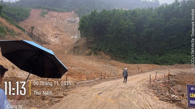
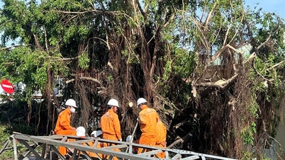
This is a very strong storm, accompanied by level 13 winds, 4-6m high waves and rising tides. Big waves can capsize boats, break rafts and cages…
According to Mr. Nguyen Xuan Hien, in 2017, storm Damrey, although less intense than storm No. 13, caused heavy damage to people and property in the Phu Yen and Binh Dinh regions before.
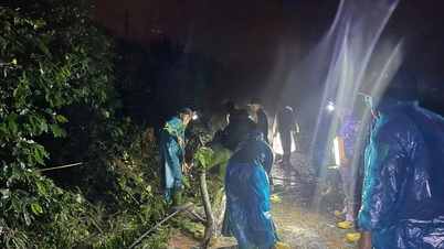
According to information on November 6 from the Department of Dyke Management and Natural Disaster Prevention ( Ministry of Agriculture and Environment ), the coastal border guard force has notified, counted, and guided 61,475 vehicles with 291,384 workers to avoid storm No. 13.
Since the morning of November 6, no vehicles have been in the danger zone. At the same time, 6 localities have issued a sea ban to ensure the safety of ships, including: Da Nang (from 3 p.m. on November 5), Quang Ngai (from 7 p.m. on November 5), Dak Lak (from 6 a.m. on November 5), Khanh Hoa (from 12 p.m. on November 6), Gia Lai (from 5 p.m. on November 5) and Lam Dong (from November 6).
Source: https://www.sggp.org.vn/tu-18-den-22-gio-dem-nay-tam-bao-do-bo-vao-da-nang-khanh-hoa-post822160.html


![[Photo] Hanoi: Long Bien residents brave the rain to go to work and school amid traffic jams due to bridge closures from early morning](https://vphoto.vietnam.vn/thumb/1200x675/vietnam/resource/IMAGE/2025/11/07/1762485038077_dji-0206-1506-jpg.webp)


Comment (0)