
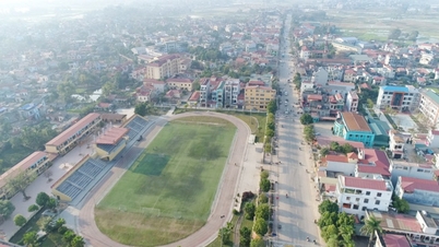
According to the approved plan, the route is about 2.7 km long, starting from the intersection with National Highway 32 and ending at the intersection with the National Highway 32 bypass (section from Military Hospital 105 to Vinh Thinh Bridge).
The route is identified as a regional main road, with a typical cross-section of 35 m wide, including: Roadway: 4 lanes (2 x 7.5 m); sidewalks on both sides: each side is 7.5 m wide; median strip: according to detailed design in the investment project preparation phase. The route direction is determined based on the approved planning.
The planned road centerline passing through points 1, 2, 3, 4, 5, 6, 7, 8 is determined by coordinates, combined with technical parameters, control factors and shown directly on the drawing. Points 2', 3', 4', 6' and 7' are turning points, serving as the basis for determining the planned road centerline. The red line boundary is determined from the road centerline, cross-section and technical factors, shown on the drawing.
Intersections will be organized at the same level as existing and planned roads in the area.
The City People's Committee assigned the Department of Planning and Architecture to confirm the route plan documents in accordance with this decision; at the same time, assigned the People's Committee of Son Tay Ward to preside over the public announcement of the documents, organize the installation of road boundary markers and carry out planning management work, and handle violations, if any.
Source: https://baodautu.vn/ha-noi-duyet-tuyen-duong-moi-ket-noi-quoc-lo-32-d383840.html
![[Photo] Prime Minister Pham Minh Chinh attends the Patriotic Emulation Congress of the Ministry of Foreign Affairs for the 2025-2030 period](https://vphoto.vietnam.vn/thumb/1200x675/vietnam/resource/IMAGE/2025/11/10/1762762603245_dsc-1428-jpg.webp)
![[Photo] Prime Minister Pham Minh Chinh attends the annual Vietnam Business Forum](https://vphoto.vietnam.vn/thumb/1200x675/vietnam/resource/IMAGE/2025/11/10/1762780307172_dsc-1710-jpg.webp)


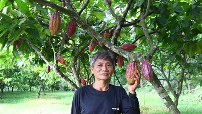


![Dong Nai OCOP transition: [Article 3] Linking tourism with OCOP product consumption](https://vphoto.vietnam.vn/thumb/402x226/vietnam/resource/IMAGE/2025/11/10/1762739199309_1324-2740-7_n-162543_981.jpeg)


Comment (0)