
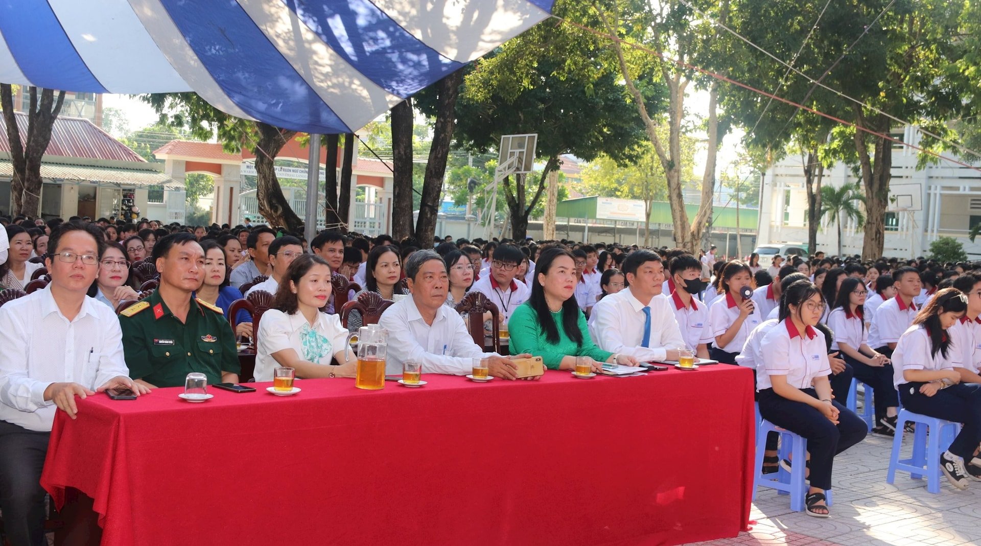
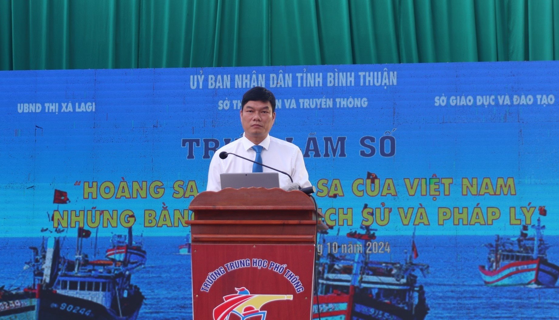
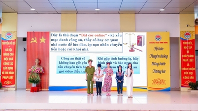
BTO-On the morning of October 3, the Department of Information and Communications coordinated with the Department of Education and Training and the People's Committee of La Gi town to organize the digital exhibition "Hoang Sa and Truong Sa of Vietnam - Historical and legal evidence" at Ly Thuong Kiet High School.
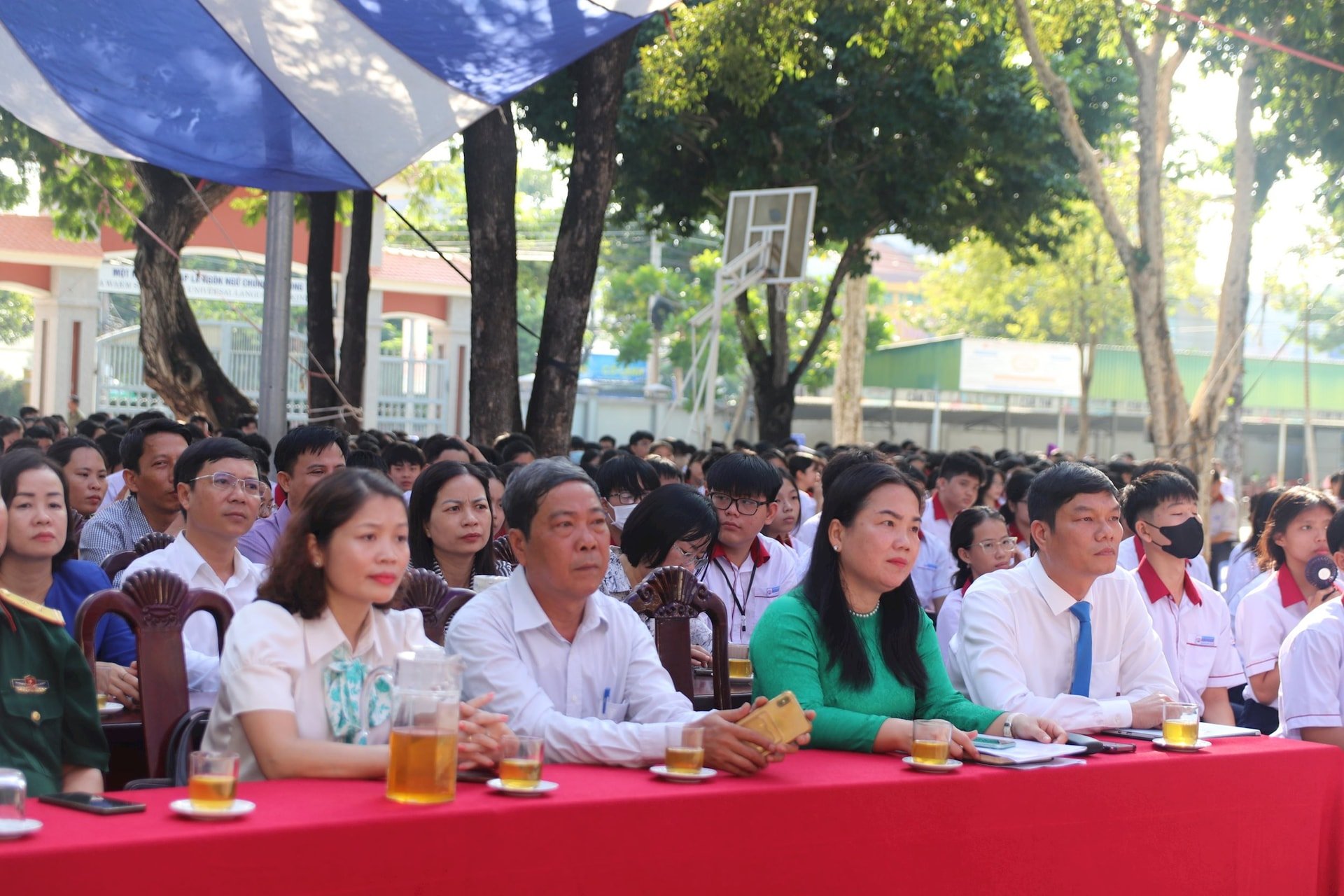
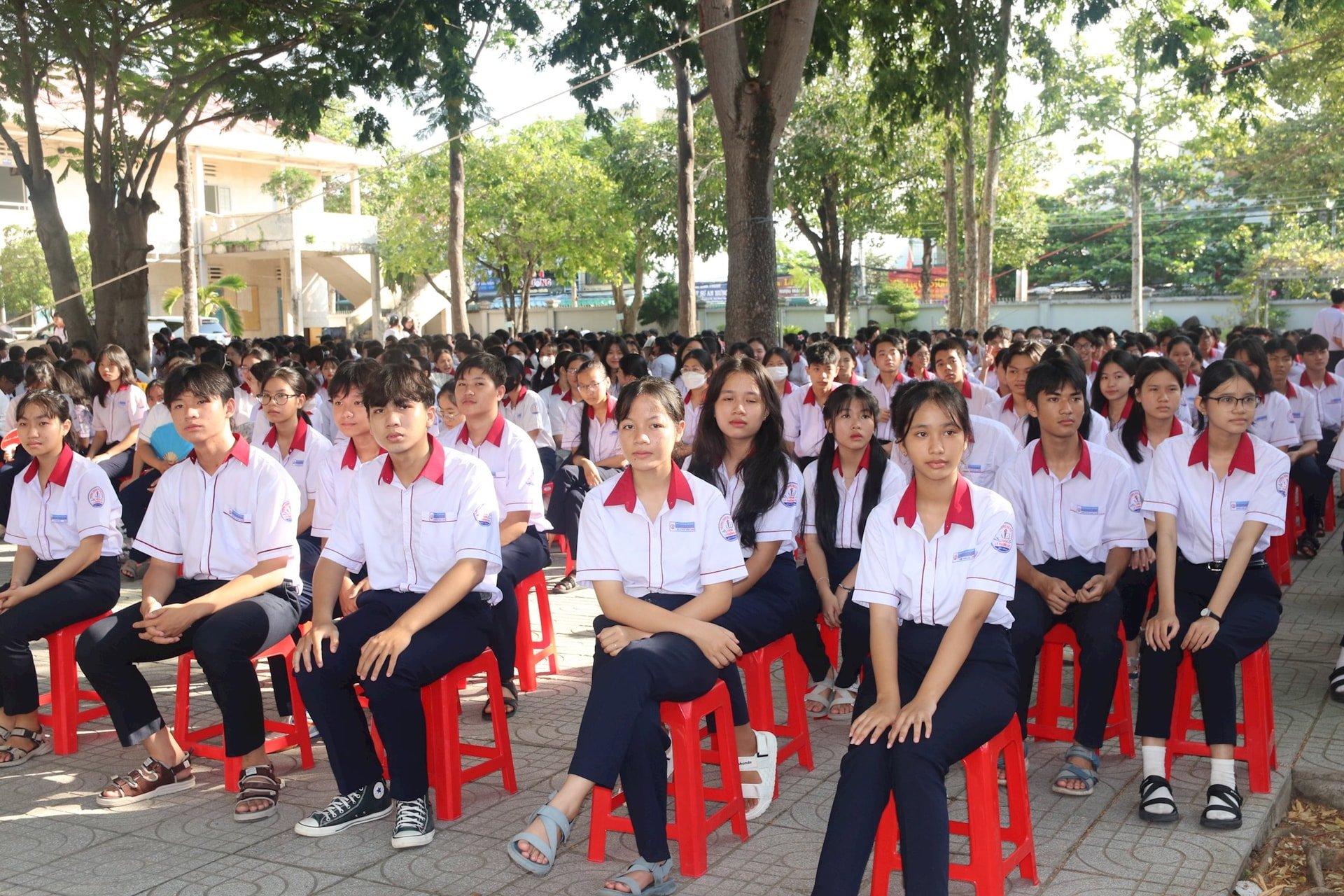
Attending the event were Mr. Nguyen Le Thanh - Deputy Director of the Department of Information and Communications, Ms. Dang Thi Hong Lam - Vice Chairman of the People's Committee of La Gi town, representatives of the Department of Education and Training, the Provincial Border Guard Command, and more than 1,800 students and teachers of Ly Thuong Kiet High School.
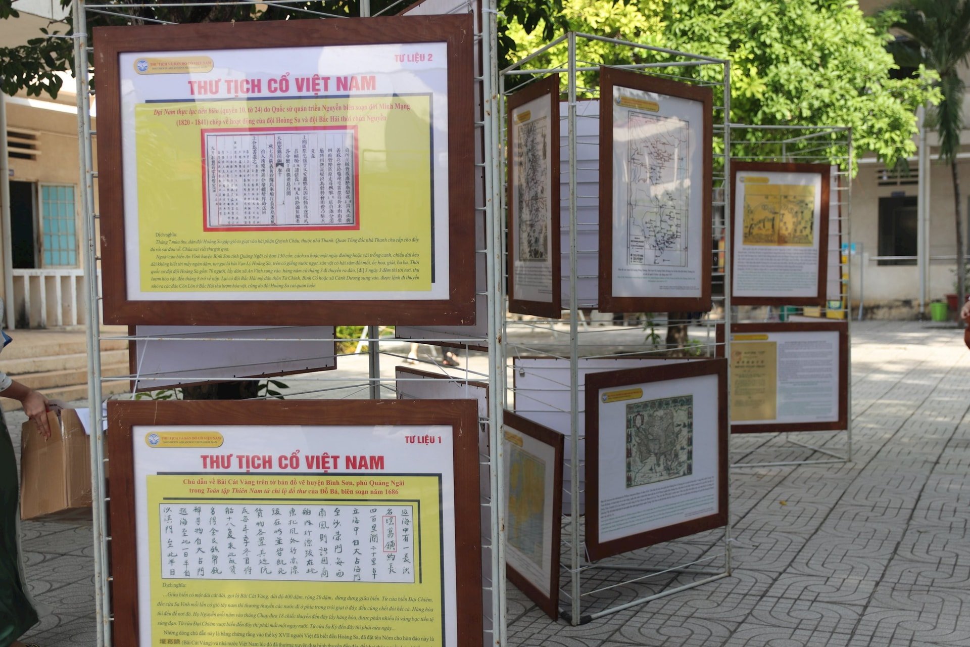
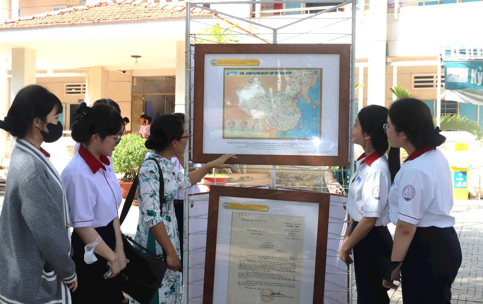
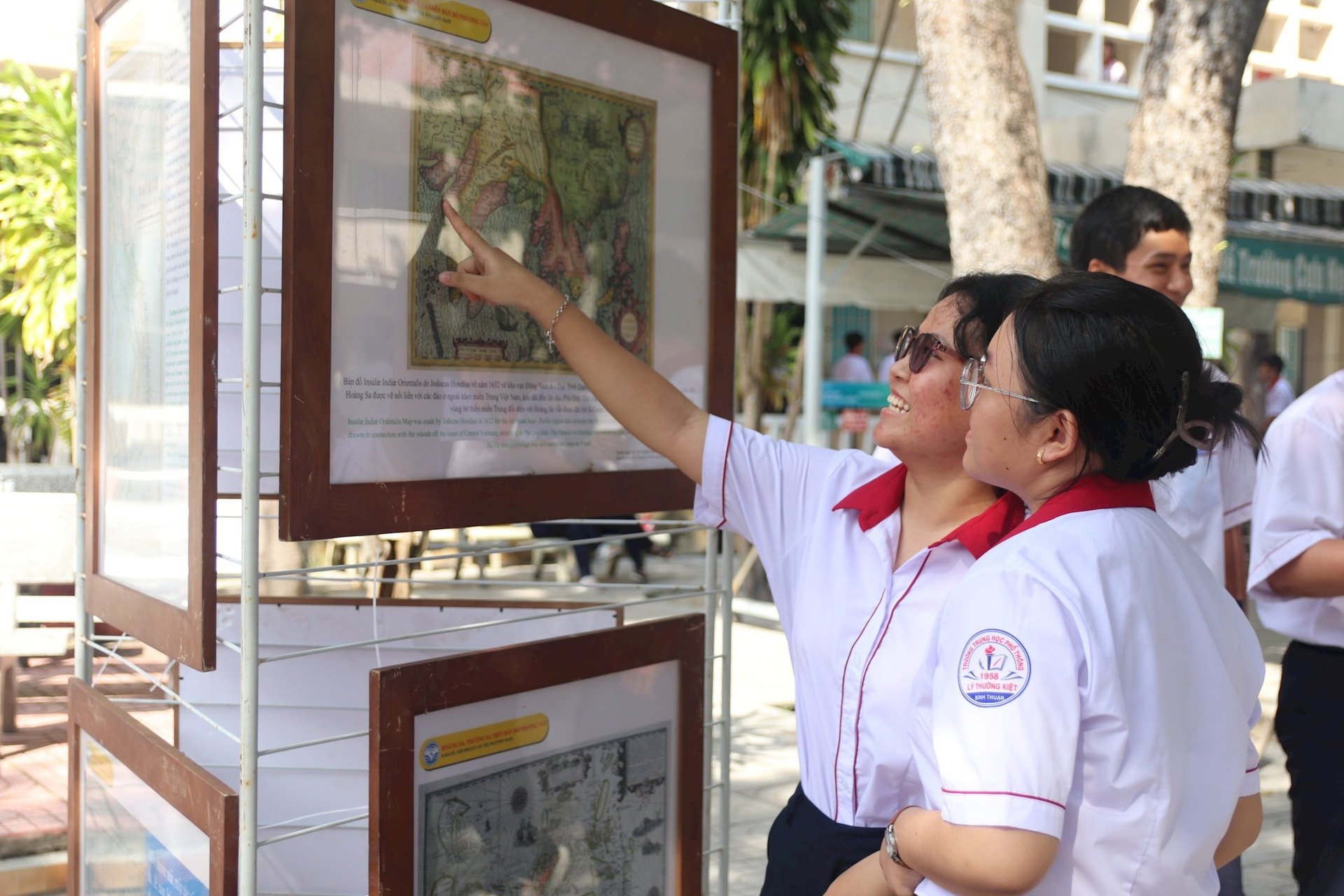
The digital exhibition program "Hoang Sa, Truong Sa of Vietnam - Historical and legal evidence" is shown on the Led screen, allowing viewers to better understand the documents and artifacts through the display areas: Documents, minutes, ancient maps of Vietnam; maps of Western countries; maps of China; documents before 1975; artifacts in virtual space (ship models, ambulance stretchers, sovereignty markers, models of Hoang Sa Fleet ships...).
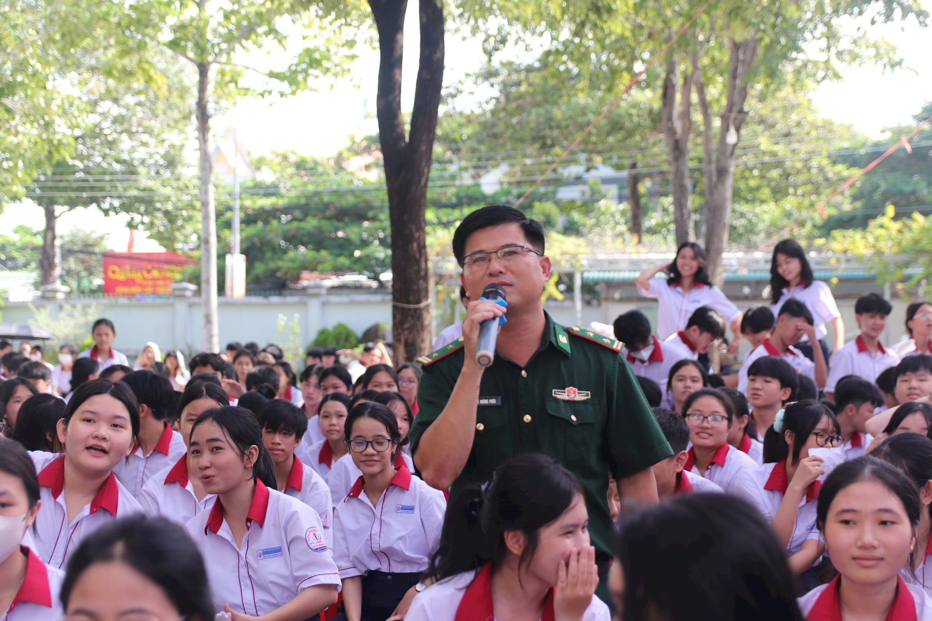
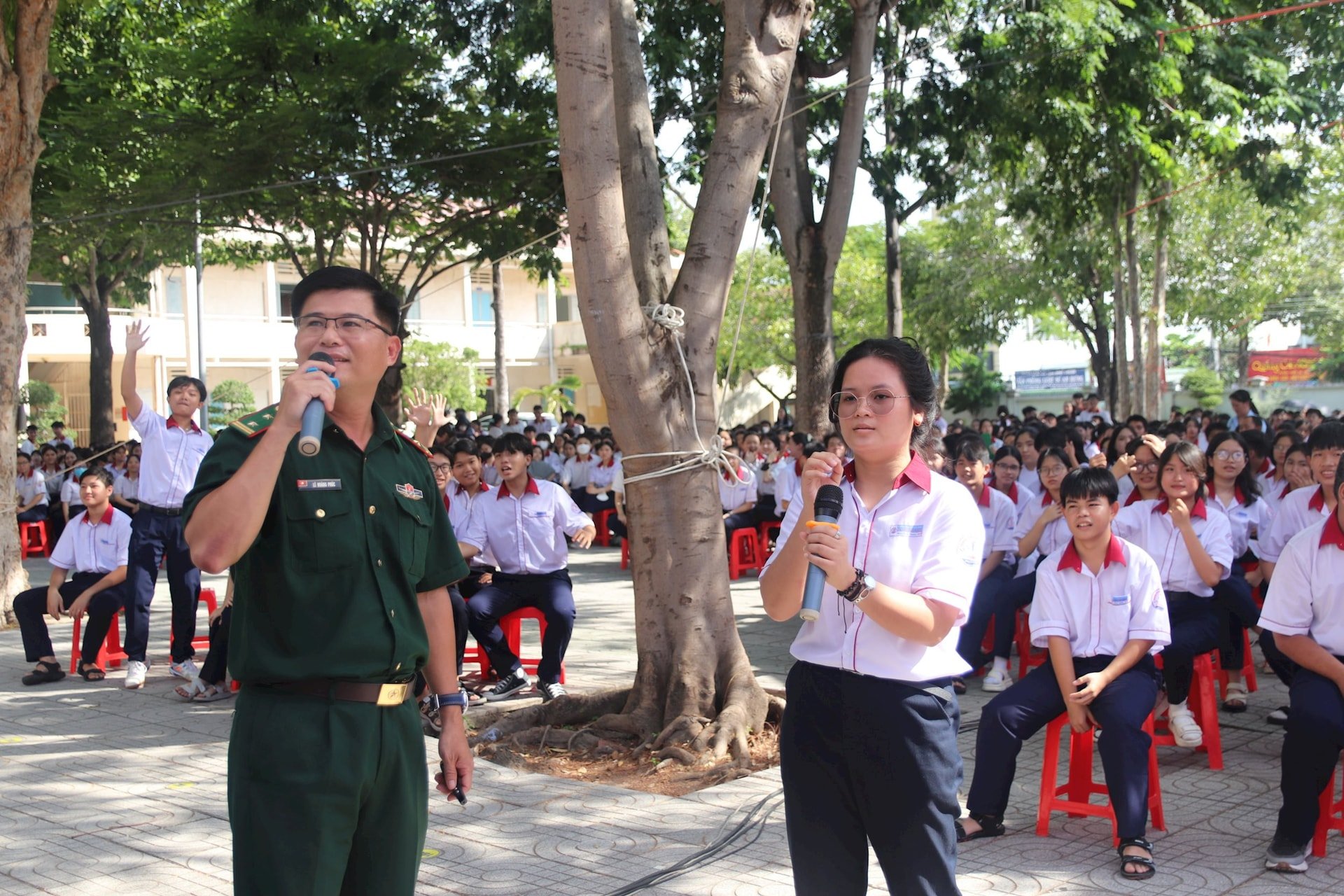
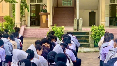
In addition, students also listened to Lieutenant Colonel Le Hoang Phuc - Provincial Border Guard Command, present a topic on issues related to the sea and islands, especially Vietnam's sovereignty over the two archipelagos of Hoang Sa and Truong Sa; Binh Thuan's sea and islands. View documents and maps introducing historical and legal evidence proving Vietnam's sovereignty over the two archipelagos of Hoang Sa and Truong Sa, such as the set of royal records of the Nguyen Dynasty, dating from the Minh Mang Dynasty (1820 - 1841) to the Bao Dai Dynasty (1926 - 1945) reflecting the process of establishing and protecting sovereignty continuously under the Nguyen Dynasty, collected and donated by researcher Phan Thuan An, researched, selected, translated and published by the National Border Committee (Ministry of Foreign Affairs); Map of Vietnam in the feudal period (16th - 19th century) recording Vietnam's sovereignty over the two archipelagos of Hoang Sa and Truong Sa; Chinese maps published in the West (16th - 20th centuries) recorded that the two archipelagos of Hoang Sa and Truong Sa did not belong to China; the sovereignty marker of the Hoang Sa archipelago erected by the French had the inscription: "French Republic, Empire of Annam, Hoang Sa archipelago in 1816"...
Since ancient times, the sea and islands have been a part of the sacred sovereignty of the Fatherland. The islands and archipelagos, together with the mainland, have created an environment for the survival and eternal development of our nation. In today's peaceful era, Vietnam is a coastal country with a particularly important strategic position for the region and the world. Therefore, the sea and islands are of even greater importance in the cause of building and protecting the Fatherland.
Our country's coastline stretches from Quang Ninh to Kien Giang with a length of 3,260 km. According to the 1982 United Nations Convention on the Law of the Sea, our country's sea area is about 1 million km², 3 times the land area, accounting for nearly 30% of the East Sea area and has over 4,000 large and small islands.
Binh Thuan alone has 7 coastal districts, including La Gi town, with a coastline of 192 km stretching from Da Chet cape bordering Ca Na in Ninh Thuan to Binh Chau alluvial land in Ba Ria - Vung Tau province. The territorial sea area is 52,000 km², one of the 3 largest fishing grounds in the country, with an annual seafood output of over 220 thousand tons.
Mr. Nguyen Le Thanh - Deputy Director of the Department of Information and Communications, affirmed: For generations, the two archipelagos of Hoang Sa and Truong Sa have become sacred and familiar places for every Vietnamese person living in Vietnam and around the world. Throughout its history, our nation has explored, established and exercised sovereignty over these two archipelagos consistently and continuously. This is recorded in Vietnam's historical documents and materials, and internationally recognized in many other documents, maps and administrative documents.

With authentic, objective and specific historical evidence, the Digital Exhibition "Hoang Sa, Truong Sa of Vietnam - Historical and legal evidence" will provide and introduce to cadres, party members and students of Binh Thuan province in general and La Gi town in particular historical and legal documents and evidence affirming Vietnam's sovereignty over the Hoang Sa and Truong Sa archipelagos. At the same time, it will help students better understand the Party's guidelines and policies, the State's policies and laws on Vietnam's seas and islands. Through the exhibition, it also contributes to fostering love for the homeland and country, raising awareness, responsibility and joint actions to protect the sovereignty of the seas and islands of the Fatherland of cadres, teachers and students in the cause of building and defending the country.
It is known that the digital exhibition program "Hoang Sa, Truong Sa of Vietnam - Historical and legal evidence" will continue to be coordinated by the Department of Information and Communications at Nguyen Truong To High School on October 4, 2024.
Source: https://baobinhthuan.com.vn/hoang-sa-truong-sa-cua-viet-nam-nhung-bang-chung-lich-su-va-phap-ly-124558.html


![[Photo] Opening of the 14th Conference of the 13th Party Central Committee](https://vphoto.vietnam.vn/thumb/1200x675/vietnam/resource/IMAGE/2025/11/05/1762310995216_a5-bnd-5742-5255-jpg.webp)


![[Photo] Panorama of the Patriotic Emulation Congress of Nhan Dan Newspaper for the period 2025-2030](https://vphoto.vietnam.vn/thumb/1200x675/vietnam/resource/IMAGE/2025/11/04/1762252775462_ndo_br_dhthiduayeuncbaond-6125-jpg.webp)


Comment (0)