
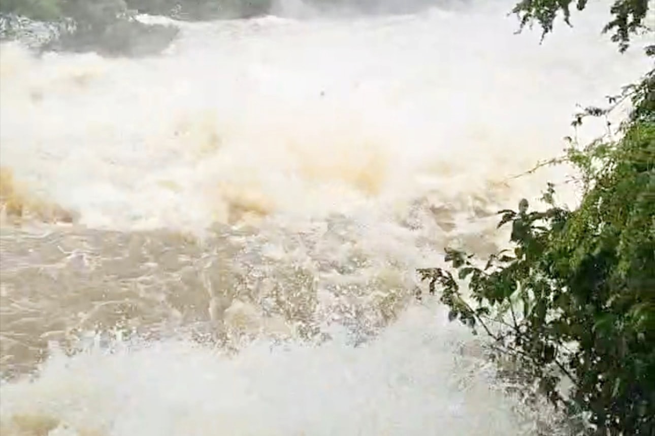
According to the plan, Ca Giang reservoir will start increasing the spillway discharge from 10:00 on October 30 with a flow rate of 4.61m³/s, then depending on the amount of water flowing into the reservoir and the downstream situation, it will be adjusted to 5 - 7m³/s. At Cam Hang reservoir, the spillway discharge will start from 10:00 on the same day, regulated with a flow rate of 30m³/s through the spillway and 11m³/s through three main sluices; then it can be increased to 35 - 40m³/s when necessary. The downstream areas of these reservoirs are advised to proactively monitor and deploy response plans.
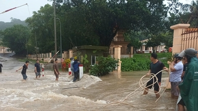
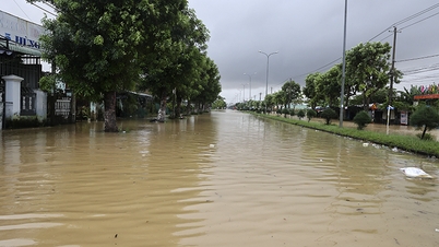
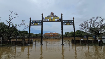
Preliminary statistics as of noon on October 30 showed that the flood had caused about 40.8 billion VND in damage in Lam Dong province; local authorities are continuing to review and update the damage.
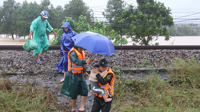
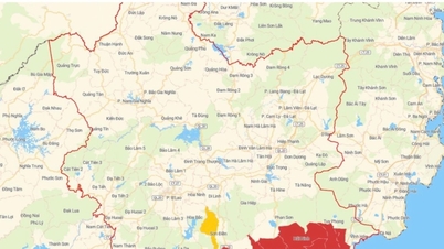
According to the Provincial Civil Defense Command, up to now, the water level at many irrigation reservoirs is higher than the normal water level.
Specifically: Song Quao Lake is 0.5m higher; Da Bac Lake is 0.38m; Phan Dung Lake is 0.19m; Song Khan Lake is 0.77m; Suoi Da Lake is 0.57m; Cam Hang Lake is 0.7m; Ca Giang Lake is 0.71m; Du Du Lake is 0.59m; Ta Mon Lake is 0.50m and Nui Dat Lake is 0.21m. Currently, management units are continuing to operate, regulate and increase flood discharge to ensure safety of works and downstream areas.
According to the forecast of the National Center for Hydro-Meteorological Forecasting, in the coming days, Lam Dong will continue to have scattered rain, some places will have moderate to heavy rain, some places will have thunderstorms. The common rainfall is 10 - 40mm/24 hours, some places over 50mm, concentrated in the South, East and Northeast of the province. Increasing the flood discharge at reservoirs is to maintain flood prevention capacity, ensuring the safety of works and downstream areas.
Rainfall recorded from 7:00 p.m. on October 29 to 10:00 a.m. on October 30: Ham Thuan commune 178.8mm; Tien Thanh ward 110.6mm; Ham Thuan Bac commune 107.4mm; Ham Thanh commune 66.4mm; Son Dien commune 50.2mm; Tan Hai commune 45.8mm, other areas had less rainfall.
Source: https://baolamdong.vn/nhieu-ho-chua-thuy-loi-tang-luu-luong-xa-lu-398981.html
![[Photo] National Assembly Chairman Tran Thanh Man receives foreign ambassadors who came to say goodbye](https://vphoto.vietnam.vn/thumb/1200x675/vietnam/resource/IMAGE/2025/10/30/1761820977744_ndo_br_1-jpg.webp)
![[Photo] Touching scene of thousands of people saving the embankment from the raging water](https://vphoto.vietnam.vn/thumb/1200x675/vietnam/resource/IMAGE/2025/10/30/1761825173837_ndo_br_ho-de-3-jpg.webp)
![[Photo] General Secretary To Lam attends the Vietnam-UK High-Level Economic Conference](https://vphoto.vietnam.vn/thumb/1200x675/vietnam/resource/IMAGE/2025/10/30/1761825773922_anh-1-3371-jpg.webp)
![[Photo] General Secretary To Lam meets former British Prime Minister Tony Blair](https://vphoto.vietnam.vn/thumb/1200x675/vietnam/resource/IMAGE/2025/10/30/1761821573624_tbt-tl1-jpg.webp)
![[Photo] The Third Patriotic Emulation Congress of the Central Internal Affairs Commission](https://vphoto.vietnam.vn/thumb/1200x675/vietnam/resource/IMAGE/2025/10/30/1761831176178_dh-thi-dua-yeu-nuoc-5076-2710-jpg.webp)


Comment (0)